25 Tim Pond Rd Eustis, ME 04936
Estimated Value: $173,000 - $229,000
1
Bed
1
Bath
800
Sq Ft
$257/Sq Ft
Est. Value
About This Home
This home is located at 25 Tim Pond Rd, Eustis, ME 04936 and is currently estimated at $205,207, approximately $256 per square foot. 25 Tim Pond Rd is a home located in Franklin County with nearby schools including Stratton Elementary School.
Ownership History
Date
Name
Owned For
Owner Type
Purchase Details
Closed on
Aug 19, 2025
Sold by
Munity Of Eustis
Bought by
Stevens Wendell and Stevens Karl
Current Estimated Value
Purchase Details
Closed on
Jul 18, 2014
Sold by
Stevens Robert L Est and Stevens
Bought by
Stevens Mildred
Create a Home Valuation Report for This Property
The Home Valuation Report is an in-depth analysis detailing your home's value as well as a comparison with similar homes in the area
Purchase History
| Date | Buyer | Sale Price | Title Company |
|---|---|---|---|
| Stevens Wendell | -- | -- | |
| Stevens Wendell J | -- | -- | |
| Stevens Mildred | -- | -- | |
| Stevens Mildred B | -- | -- | |
| Stevens Mildred B | -- | -- |
Source: Public Records
Tax History
| Year | Tax Paid | Tax Assessment Tax Assessment Total Assessment is a certain percentage of the fair market value that is determined by local assessors to be the total taxable value of land and additions on the property. | Land | Improvement |
|---|---|---|---|---|
| 2025 | $1,215 | $147,000 | $42,900 | $104,100 |
| 2024 | $1,215 | $138,800 | $37,500 | $101,300 |
| 2023 | $1,224 | $136,800 | $32,800 | $104,000 |
| 2022 | $1,023 | $107,700 | $32,800 | $74,900 |
| 2021 | $1,086 | $84,200 | $25,900 | $58,300 |
| 2020 | $1,054 | $84,300 | $25,900 | $58,400 |
| 2019 | $1,031 | $85,200 | $25,900 | $59,300 |
| 2018 | $1,128 | $86,100 | $25,900 | $60,200 |
| 2017 | $1,125 | $86,500 | $25,900 | $60,600 |
| 2016 | $1,116 | $87,400 | $25,900 | $61,500 |
| 2015 | $1,158 | $87,700 | $25,900 | $61,800 |
| 2014 | -- | $89,900 | $25,900 | $64,000 |
| 2009 | -- | $82,200 | $24,500 | $57,700 |
Source: Public Records
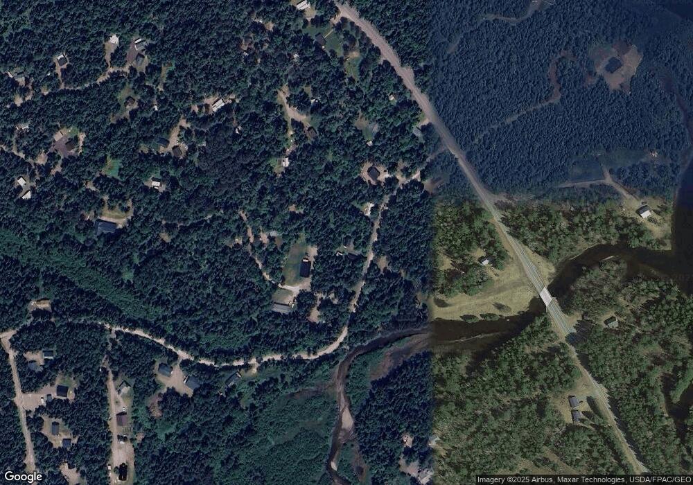
Map
Nearby Homes
- 1480 Arnold Trail
- 118 Glidden Rd
- 59 Eustis Village Rd
- 54 Eustis Village Rd
- 60&66 Gravel Pit Rd
- 233 Porter Nadeau Rd
- 95-4 Lot D Porter Nadeau Rd
- 6-01 Eustis Ridge Rd
- 484 Eustis Ridge Rd
- 81 B Red Pine Ln
- 27 Peabody Rd
- 9 Tranquility Ln
- 186 Main St
- 14 Dam Rd
- 11 Porcupine Trail
- 27 Reed Rd
- 42 Rabbit Hollow Rd
- 64 Ip Rd
- 4004 Bigelow Station
- 5 Lyons Ln Unit 1
- 11 Tim Pond Rd
- 8 Spruce Rd
- 17 Tim Pond Rd
- 10 Osgood Ln
- 1538 the Arnold Trail
- 1532 the Arnold Trail
- 13 Osgood Ln
- 5:6-8 Tim Pond Rd
- 8 Tim Pond Rd
- R5 8-2 Tim Pond Rd
- 0 Tim Pond Rd Unit 1225356
- 28 Eustis Pkwy
- 6 Osgood Ln
- 124 Eustis Pkwy
- 136 Eustis Pkwy
- 1554 Arnold Trail
- 29 Tim Pond Rd
- 104 Eustis Pkwy
- Lot 31 Eustis Pkwy
- 34 Eustis Pkwy
Your Personal Tour Guide
Ask me questions while you tour the home.