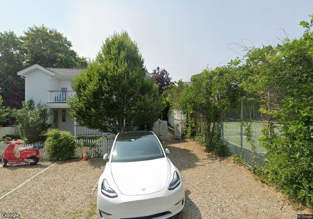
25 Tremont St Unit D1 Provincetown, MA 02657
Estimated Value: $1,418,000 - $1,613,000
2
Beds
2
Baths
910
Sq Ft
$1,684/Sq Ft
Est. Value
About This Home
This home is located at 25 Tremont St Unit D1, Provincetown, MA 02657 and is currently estimated at $1,532,087, approximately $1,683 per square foot. 25 Tremont St Unit D1 is a home located in Barnstable County with nearby schools including Provincetown Schools.
Ownership History
Date
Name
Owned For
Owner Type
Purchase Details
Closed on
Nov 16, 2012
Sold by
Cacciola Marjorie A and Regis Elaine S
Bought by
Regis & Caciola Lt and Regis
Current Estimated Value
Purchase Details
Closed on
Oct 23, 2007
Sold by
Santina-Regis Elaine and Cacciola Marjorie Anne
Bought by
Santina-Regis Elaine and Cacciola Marjorie Anne
Purchase Details
Closed on
Jun 9, 1995
Sold by
Vignali Michael P and Buonafede Paul D
Bought by
Cacciola Marjorie A and Regis Elaine S
Create a Home Valuation Report for This Property
The Home Valuation Report is an in-depth analysis detailing your home's value as well as a comparison with similar homes in the area
Home Values in the Area
Average Home Value in this Area
Purchase History
| Date | Buyer | Sale Price | Title Company |
|---|---|---|---|
| Regis & Caciola Lt | -- | -- | |
| Regis&Caciola Lt | -- | -- | |
| Santina-Regis Elaine | -- | -- | |
| Santina-Regis Elaine | -- | -- | |
| Cacciola Marjorie A | $149,000 | -- | |
| Cacciola Marjorie A | $149,000 | -- |
Source: Public Records
Tax History Compared to Growth
Tax History
| Year | Tax Paid | Tax Assessment Tax Assessment Total Assessment is a certain percentage of the fair market value that is determined by local assessors to be the total taxable value of land and additions on the property. | Land | Improvement |
|---|---|---|---|---|
| 2025 | $7,929 | $1,415,900 | $0 | $1,415,900 |
| 2024 | $7,457 | $1,336,300 | $0 | $1,336,300 |
| 2023 | $6,595 | $1,102,800 | $0 | $1,102,800 |
| 2022 | $5,939 | $891,800 | $0 | $891,800 |
| 2021 | $5,913 | $835,200 | $0 | $835,200 |
| 2020 | $5,368 | $810,900 | $0 | $810,900 |
| 2019 | $5,404 | $765,500 | $0 | $765,500 |
| 2018 | $5,260 | $706,100 | $0 | $706,100 |
| 2017 | $5,237 | $679,300 | $0 | $679,300 |
| 2016 | $4,909 | $629,300 | $0 | $629,300 |
| 2015 | $3,822 | $517,900 | $0 | $517,900 |
Source: Public Records
Map
Nearby Homes
- 10 Bradford St Unit 2
- 10 Bradford St Unit 3
- 10 Bradford St Unit 4
- 70 W Vine St
- 27 Mechanic St
- 147 Bradford Street Extension Unit 1
- 74 Commercial St
- 118 Commercial St Unit U118
- 143R Bradford Street Extension Unit 2
- 143 Bradford Street Extension Unit 2
- 44 Franklin St
- 54 Commercial St Unit 3,4,5,6
- 15 Montello St Unit 3
- 44 Commercial St
- 64 Franklin St Unit D
- 64 Franklin St Unit UD
- 147 Commercial St Unit UL7
- 147 Commercial St Unit L7
- 25 Tremont St Unit G2
- 25 Tremont St Unit G1
- 25 Tremont St Unit F2
- 25 Tremont St Unit F1
- 25 Tremont St Unit E2
- 25 Tremont St Unit E1
- 25 Tremont St Unit D2
- 25 Tremont St Unit C2
- 25 Tremont St Unit C1
- 25 Tremont St Unit B1
- 25 Tremont St Unit A2
- 25 Tremont St Unit A1
- 25 Tremont St Unit 1A
- 25 Tremont St Unit UA2
- 1 Tremont St
- 17 W Vine St
- 17 W Vine St Unit 1-2
- 17 W Vine St Unit 1
- 17 W Vine St Unit 2
- 175 Bradford st Extension Unit 302