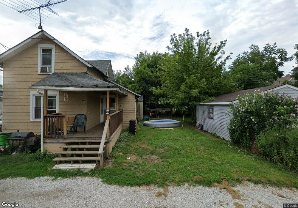
25 Union Ct Alliance, OH 44601
Estimated Value: $50,747 - $86,000
1
Bed
1
Bath
572
Sq Ft
$117/Sq Ft
Est. Value
About This Home
This home is located at 25 Union Ct, Alliance, OH 44601 and is currently estimated at $66,937, approximately $117 per square foot. 25 Union Ct is a home located in Stark County with nearby schools including Alliance Early Learning School, Alliance Intermediate School at Northside, and Alliance Middle School.
Ownership History
Date
Name
Owned For
Owner Type
Purchase Details
Closed on
Mar 28, 2019
Sold by
Thomas Janice J
Bought by
Thomas Janice J and Janice J Thomas Trust
Current Estimated Value
Purchase Details
Closed on
Nov 7, 2017
Sold by
Thomas Janice James and Thomas James Carl
Bought by
Thomas Janice J
Purchase Details
Closed on
Oct 19, 2017
Sold by
Thomas James Carl and Thomas James
Bought by
Thomas Janice James and Thomas James Carl
Purchase Details
Closed on
Jan 11, 2008
Sold by
Freconna Nancy J
Bought by
Thomas James
Create a Home Valuation Report for This Property
The Home Valuation Report is an in-depth analysis detailing your home's value as well as a comparison with similar homes in the area
Home Values in the Area
Average Home Value in this Area
Purchase History
| Date | Buyer | Sale Price | Title Company |
|---|---|---|---|
| Thomas Janice J | -- | None Available | |
| Thomas Janice J | -- | None Available | |
| Thomas Janice James | -- | None Available | |
| Thomas James | $6,500 | None Available |
Source: Public Records
Tax History Compared to Growth
Tax History
| Year | Tax Paid | Tax Assessment Tax Assessment Total Assessment is a certain percentage of the fair market value that is determined by local assessors to be the total taxable value of land and additions on the property. | Land | Improvement |
|---|---|---|---|---|
| 2025 | -- | $9,110 | $3,820 | $5,290 |
| 2024 | -- | $9,110 | $3,820 | $5,290 |
| 2023 | $247 | $5,990 | $1,930 | $4,060 |
| 2022 | $248 | $5,990 | $1,930 | $4,060 |
| 2021 | $249 | $5,990 | $1,930 | $4,060 |
| 2020 | $187 | $4,200 | $1,400 | $2,800 |
| 2019 | $184 | $4,210 | $1,410 | $2,800 |
| 2018 | $186 | $4,210 | $1,410 | $2,800 |
| 2017 | $158 | $3,510 | $1,160 | $2,350 |
| 2016 | $159 | $3,510 | $1,160 | $2,350 |
| 2015 | $160 | $3,510 | $1,160 | $2,350 |
| 2014 | $250 | $5,220 | $1,260 | $3,960 |
| 2013 | $125 | $5,220 | $1,260 | $3,960 |
Source: Public Records
Map
Nearby Homes
- 124 E Wayne St
- 163 W Market St
- 361 E Main St
- 329 1/2 W Main St
- 511 W Ely St
- 132 S Haines Ave
- 345 W Market St
- 652 N Webb Ave
- 356 E Broadway St
- 427 S Union Ave
- 142 S Seneca Ave
- 11344 Walnut Ave NE
- V/L S Fredeom Ave
- 432 S Linden Ave
- 263 Franklin Ave
- 140 W Summit St
- 000 Meadowbrook Ave
- 11310 Webb Ave NE
- 452 E Summit St
- 0 Meadowbrook Ave
- 30 E Harrison St
- 30 E Harrison St Unit Up Apt
- 30 E Harrison St Unit Upstairs Apt
- 30 E Harrison St Unit Down Apt
- 26 Union Ct
- 44 E Harrison St
- 419 N Union Ave
- 407 N Union Ave
- 435 N Union Ave
- 445 N Union Ave
- 31 E Washington St
- 451 N Union Ave
- 26 E Washington St
- 505 N Union Ave
- 40 E Washington St
- 406 N Union Ave
- 424 N Union Ave
- 416 N Union Ave
- 416 N Union Ave
- 430 N Union Ave