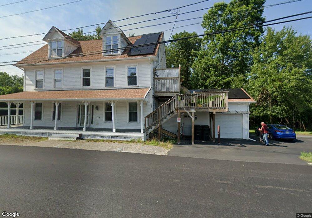
25 Upton St Grafton, MA 01519
Estimated Value: $558,957 - $696,000
4
Beds
2
Baths
2,448
Sq Ft
$252/Sq Ft
Est. Value
About This Home
This home is located at 25 Upton St, Grafton, MA 01519 and is currently estimated at $616,239, approximately $251 per square foot. 25 Upton St is a home located in Worcester County with nearby schools including Grafton High School, Silver Spruce Montessori School, and Touchstone Community School.
Ownership History
Date
Name
Owned For
Owner Type
Purchase Details
Closed on
Aug 11, 2003
Sold by
Sciarro Ross H and Sciarro Susan L
Bought by
Sciarro Ross H
Current Estimated Value
Home Financials for this Owner
Home Financials are based on the most recent Mortgage that was taken out on this home.
Original Mortgage
$132,000
Interest Rate
5.28%
Mortgage Type
Purchase Money Mortgage
Create a Home Valuation Report for This Property
The Home Valuation Report is an in-depth analysis detailing your home's value as well as a comparison with similar homes in the area
Home Values in the Area
Average Home Value in this Area
Purchase History
| Date | Buyer | Sale Price | Title Company |
|---|---|---|---|
| Sciarro Ross H | $35,500 | -- | |
| Sciarro Ross H | $35,500 | -- | |
| Sciarro Ross H | $35,500 | -- |
Source: Public Records
Mortgage History
| Date | Status | Borrower | Loan Amount |
|---|---|---|---|
| Open | Sciarro Ross H | $125,750 | |
| Closed | Sciarro Ross H | $132,000 |
Source: Public Records
Tax History
| Year | Tax Paid | Tax Assessment Tax Assessment Total Assessment is a certain percentage of the fair market value that is determined by local assessors to be the total taxable value of land and additions on the property. | Land | Improvement |
|---|---|---|---|---|
| 2025 | $6,315 | $453,000 | $143,300 | $309,700 |
| 2024 | $6,070 | $424,200 | $136,500 | $287,700 |
| 2023 | $5,938 | $378,000 | $136,500 | $241,500 |
| 2022 | $5,413 | $320,700 | $117,200 | $203,500 |
| 2021 | $4,731 | $275,400 | $106,600 | $168,800 |
| 2020 | $4,122 | $249,800 | $106,600 | $143,200 |
| 2019 | $4,097 | $245,900 | $95,800 | $150,100 |
| 2018 | $3,849 | $232,000 | $94,600 | $137,400 |
| 2017 | $3,664 | $223,400 | $81,400 | $142,000 |
| 2016 | $3,600 | $214,900 | $87,800 | $127,100 |
| 2015 | $3,473 | $210,500 | $85,100 | $125,400 |
| 2014 | $3,092 | $202,600 | $90,800 | $111,800 |
Source: Public Records
Map
Nearby Homes
- 6 Oak St
- 31 South St
- 53 Nottingham Rd
- 63 Providence Rd Unit 2
- 66 North St
- 51 Londonderry Rd Unit 51
- 48 Londonderry Rd
- 8 Clearview St
- 16 Clearview St
- 268 Magill Dr Unit 268
- 9 Logan Path
- 56 Luka Dr Unit 56
- 75 Potter Hill Rd
- 22 Snow Rd
- 3 Abby Rd
- 5 Suzanne Terrace
- 14 Cortland Way
- 9 Danielle Dr
- 43-R George Hill Rd
- 5 Tracy Ann Dr
Your Personal Tour Guide
Ask me questions while you tour the home.