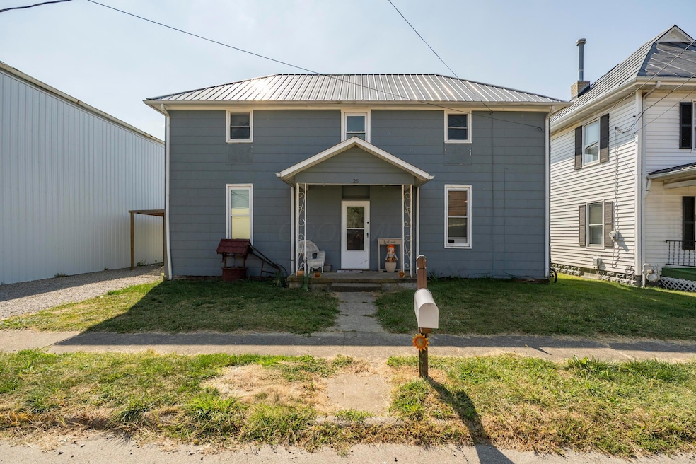

25 W Front St New Holland, OH 43145
Estimated payment $953/month
Highlights
- No HOA
- Fenced Yard
- Window Unit Cooling System
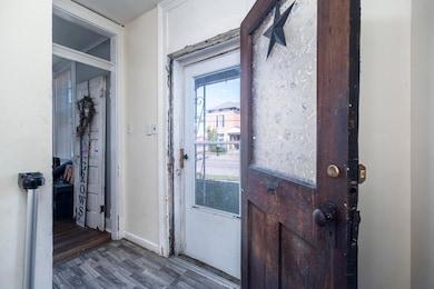
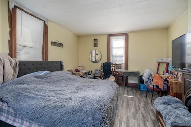
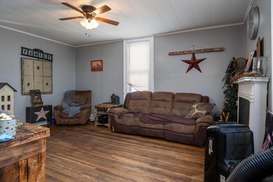
About This Home
Don't miss out on this fantastic opportunity! This charming home is being sold *AS IS*, offering you the chance to add your personal touch and make it your own. Key Features:
- Spacious layout perfect for families or anyone needing extra space.
- Fully Fenced Yard: Enjoy your privacy in this lovely outdoor space, ideal for pets, kids, or summer barbecues.
- Prime Location: Nestled in the heart of New Holland, you'll be close to local amenities, shops, and parks.
- Upgraded Exterior: Recently installed roof and windows ensure durability and peace of mind. Whether you're a first-time homebuyer or an investor looking for your next project, this property holds endless potential!

Home Details
Home Type
- Single Family
Est. Annual Taxes
- $1,696
Year Built
- Built in 1890
Lot Details
- 7,405 Sq Ft Lot
- Fenced Yard
Home Design
- Block Foundation
Interior Spaces
- 1,976 Sq Ft Home
- 2-Story Property
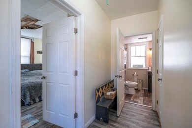
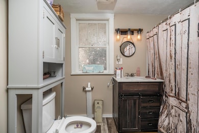
Bedrooms and Bathrooms
- 2 Full Bathrooms
Basement
- Partial Basement
- Basement Cellar
Parking
- No Garage
- On-Street Parking
Utilities
- Window Unit Cooling System
Community Details
- No Home Owners Association
Listing and Financial Details
- Assessor Parcel Number I23-0-006-00-013-00
Map
Home Values in the Area
Average Home Value in this Area
Tax History
| Year | Tax Paid | Tax Assessment Tax Assessment Total Assessment is a certain percentage of the fair market value that is determined by local assessors to be the total taxable value of land and additions on the property. | Land | Improvement |
|---|---|---|---|---|
| 2024 | -- | $43,500 | $5,830 | $37,670 |
| 2023 | $1,794 | $43,500 | $5,830 | $37,670 |
| 2022 | $861 | $19,720 | $2,620 | $17,100 |
| 2021 | $895 | $19,720 | $2,620 | $17,100 |
| 2020 | $906 | $19,720 | $2,620 | $17,100 |
| 2019 | $0 | $17,350 | $2,620 | $14,730 |
| 2018 | $813 | $17,350 | $2,620 | $14,730 |
| 2017 | $803 | $17,350 | $2,620 | $14,730 |
| 2016 | $757 | $15,570 | $2,350 | $13,220 |
| 2015 | $383 | $15,570 | $2,350 | $13,220 |
| 2014 | $741 | $15,570 | $2,350 | $13,220 |
| 2013 | $754 | $15,570 | $2,350 | $13,220 |
Property History
| Date | Event | Price | List to Sale | Price per Sq Ft |
|---|---|---|---|---|
| 10/12/2025 10/12/25 | Price Changed | $154,900 | -3.1% | $78 / Sq Ft |
| 10/10/2025 10/10/25 | Price Changed | $159,900 | -0.1% | $81 / Sq Ft |
| 09/17/2025 09/17/25 | For Sale | $160,000 | -- | $81 / Sq Ft |
Purchase History
| Date | Type | Sale Price | Title Company |
|---|---|---|---|
| Warranty Deed | $110,000 | Washington Title Agency | |
| Warranty Deed | -- | Washington Title Agency | |
| Survivorship Deed | $42,000 | Attorney | |
| Certificate Of Transfer | -- | None Available |
Source: Columbus and Central Ohio Regional MLS
MLS Number: 225034878
APN: I23-0-006-00-013-00
Disclaimer: Certain information contained herein is derived from information provided by parties other than Homes.com. All information provided is deemed reliable, but is not guaranteed to be accurate and should be independently verified.
![]() IDX information is provided exclusively for personal, non-commercial use, and may not be used for any purpose other than to identify prospective properties consumers may be interested in purchasing.
IDX information is provided exclusively for personal, non-commercial use, and may not be used for any purpose other than to identify prospective properties consumers may be interested in purchasing.
Information is deemed reliable but not guaranteed.
- 20 Center St
- 154 W Front St
- 8 Allen Ave
- 318 W Front St
- 13525 Clarksburg Pike
- 24136 Egypt Pike
- 2922 SE Good Hope New Holland Rd SE
- 26054 Locust Grove Rd
- 7882 Glaze Rd Unit NE
- 7764 Glaze Rd
- 0 Old State Route 35 & Plano Rd Unit 225041776
- 11413 US Highway 22 Unit W
- 5181 Robinson Rd SE
- 4581 US Highway 22 NE
- 21651 Hannawalt Rd
- 10673 US Highway 22 Unit W
- 75 Country Manor Dr SE Unit SE
- 10905 6th St
- 17310 High St
- 19763 Clarks Run Rd
- 1102 Solid Rock Blvd
- 812 Delaware St
- 113 S Main St
- 440 N Main St
- 138 N Main St
- 25 Walnut St
- 555 Depot Dr
- 70 N London St Unit 70 N London st
- 13360 US Highway 62 NE
- 19511 Florence Chapel Pike
- 109 Caroline Ct
- 2421 Egypt Pike Unit 8
- 5000 Hutchison St
- 82 Richard Ave
- 29 Bazler Ln
- 42 River Ct
- 115 Grove Run Rd
- 337 Karst Cir
- 522 Nicholas Square
- 480 Lancaster Pike