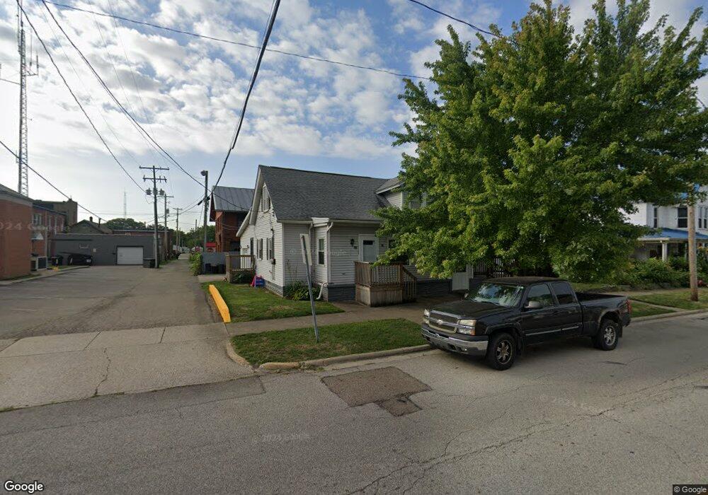
25 W Main St Unit 27 Mount Sterling, OH 43143
Estimated Value: $118,000 - $147,000
3
Beds
3
Baths
2,296
Sq Ft
$59/Sq Ft
Est. Value
About This Home
This home is located at 25 W Main St Unit 27, Mount Sterling, OH 43143 and is currently estimated at $134,641, approximately $58 per square foot. 25 W Main St Unit 27 is a home located in Madison County with nearby schools including Madison-Plains Elementary School, Madison-Plains Intermediate School, and Madison-Plains Junior High School.
Ownership History
Date
Name
Owned For
Owner Type
Purchase Details
Closed on
Jul 30, 2025
Sold by
Hall Milton Lee
Bought by
D & E Morrison Llc
Current Estimated Value
Home Financials for this Owner
Home Financials are based on the most recent Mortgage that was taken out on this home.
Original Mortgage
$166,450
Outstanding Balance
$153,007
Interest Rate
6.81%
Mortgage Type
Construction
Estimated Equity
-$18,366
Purchase Details
Closed on
Aug 3, 2016
Sold by
Neff Ruth I
Bought by
Hall Ii Milton Lee
Create a Home Valuation Report for This Property
The Home Valuation Report is an in-depth analysis detailing your home's value as well as a comparison with similar homes in the area
Home Values in the Area
Average Home Value in this Area
Purchase History
| Date | Buyer | Sale Price | Title Company |
|---|---|---|---|
| D & E Morrison Llc | $137,000 | Fm Title | |
| D & E Morrison Llc | $137,000 | Fm Title | |
| Hall Ii Milton Lee | -- | Attorney |
Source: Public Records
Mortgage History
| Date | Status | Borrower | Loan Amount |
|---|---|---|---|
| Open | D & E Morrison Llc | $166,450 | |
| Closed | D & E Morrison Llc | $166,450 |
Source: Public Records
Tax History Compared to Growth
Tax History
| Year | Tax Paid | Tax Assessment Tax Assessment Total Assessment is a certain percentage of the fair market value that is determined by local assessors to be the total taxable value of land and additions on the property. | Land | Improvement |
|---|---|---|---|---|
| 2024 | $1,891 | $52,830 | $10,080 | $42,750 |
| 2023 | $1,776 | $52,830 | $10,080 | $42,750 |
| 2022 | $1,554 | $40,950 | $7,810 | $33,140 |
| 2021 | $1,593 | $40,950 | $7,810 | $33,140 |
| 2020 | $1,520 | $40,950 | $7,810 | $33,140 |
| 2019 | $1,223 | $33,920 | $6,990 | $26,930 |
| 2018 | $1,192 | $33,920 | $6,990 | $26,930 |
| 2017 | $691 | $33,920 | $6,990 | $26,930 |
| 2016 | $691 | $29,620 | $6,990 | $22,630 |
| 2015 | $691 | $29,620 | $6,990 | $22,630 |
| 2014 | $677 | $29,620 | $6,990 | $22,630 |
| 2013 | -- | $30,480 | $7,020 | $23,460 |
Source: Public Records
Map
Nearby Homes
- 67 W Columbus St
- 60 N London St
- 223 W Main St
- 233 W Main St
- 230 W Columbus St
- 94 Jefferson St
- 233 Rosewood Ave
- 178 Poplar St
- 500 Wingate Place N
- 16185 State Route 207
- 14035 Woods Opossum Run Rd Unit R
- 15561 Blain Rd
- 8713 State Route 207
- 12265 Woods Opossum Run
- 11850 Woods Opossum
- 16270 Cook Yankeetown Rd NE
- 0 Renick Rd
- 10586 Baldwin Rd
- 0 Rockwell Rd Unit 225016734
- 13810 Yankeetown Chenoweth Rd
- 33 W Main St
- 18 S Market St
- 24 W Main St
- 28 W Main St
- 34 W Main St
- 5 S Market St
- 23 S London St
- 0 S R 62 Unit 217037968
- 27 S London St
- 15 S Market St
- 10 W Columbus St
- 14 W Columbus St
- 60 W Main St
- 0 U S Highway 62 Unit 2428570
- 0 U S Highway 62 Unit 2417250
- 0 U S Highway 62 Unit 2333240
- 0 U S Highway 62 Unit 2333238
- 0 U S Highway 62 Unit 2333234
- 0 U S Highway 62 Unit 2333237
- 0 U S Highway 62 Unit 2333239