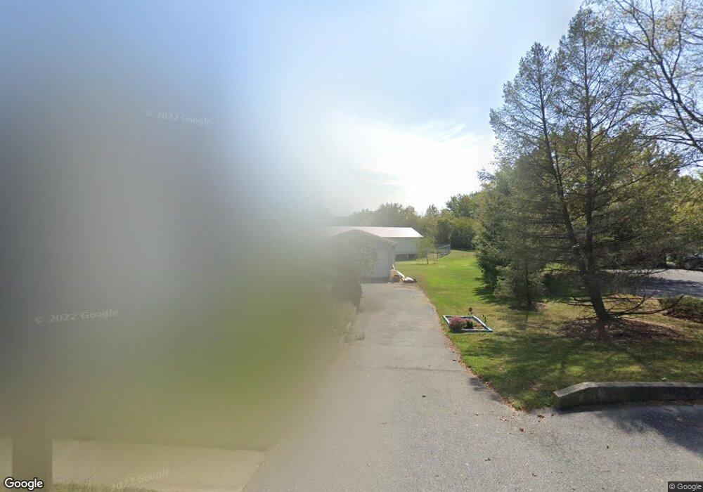
25 W Main St Reinholds, PA 17569
Estimated Value: $181,000 - $273,000
2
Beds
1
Bath
1,020
Sq Ft
$213/Sq Ft
Est. Value
About This Home
This home is located at 25 W Main St, Reinholds, PA 17569 and is currently estimated at $217,634, approximately $213 per square foot. 25 W Main St is a home located in Lancaster County with nearby schools including Cocalico Senior High School and West Cocalico Mennonite School.
Ownership History
Date
Name
Owned For
Owner Type
Purchase Details
Closed on
May 30, 2019
Sold by
Buck Bradley
Bought by
Beiswenger Robert O and Beiswenger Marilyn A
Current Estimated Value
Purchase Details
Closed on
Jun 23, 2016
Sold by
Buck Christopher R
Bought by
Buck Bradley
Home Financials for this Owner
Home Financials are based on the most recent Mortgage that was taken out on this home.
Original Mortgage
$82,000
Interest Rate
3.57%
Mortgage Type
New Conventional
Purchase Details
Closed on
Nov 7, 2005
Sold by
Lesher Samuel H and Lesher Nancy M
Bought by
Buck Christopher R
Home Financials for this Owner
Home Financials are based on the most recent Mortgage that was taken out on this home.
Original Mortgage
$62,000
Interest Rate
5.93%
Mortgage Type
Fannie Mae Freddie Mac
Create a Home Valuation Report for This Property
The Home Valuation Report is an in-depth analysis detailing your home's value as well as a comparison with similar homes in the area
Home Values in the Area
Average Home Value in this Area
Purchase History
| Date | Buyer | Sale Price | Title Company |
|---|---|---|---|
| Beiswenger Robert O | $105,000 | First Amer Abstract Of Pa | |
| Buck Bradley | $110,000 | Attorney | |
| Buck Christopher R | $87,000 | First American Title Ins Co |
Source: Public Records
Mortgage History
| Date | Status | Borrower | Loan Amount |
|---|---|---|---|
| Previous Owner | Buck Bradley | $82,000 | |
| Previous Owner | Buck Christopher R | $62,000 |
Source: Public Records
Tax History Compared to Growth
Tax History
| Year | Tax Paid | Tax Assessment Tax Assessment Total Assessment is a certain percentage of the fair market value that is determined by local assessors to be the total taxable value of land and additions on the property. | Land | Improvement |
|---|---|---|---|---|
| 2025 | $2,837 | $112,800 | $49,500 | $63,300 |
| 2024 | $2,837 | $112,800 | $49,500 | $63,300 |
| 2023 | $2,772 | $112,800 | $49,500 | $63,300 |
| 2022 | $2,699 | $112,800 | $49,500 | $63,300 |
| 2021 | $2,699 | $112,800 | $49,500 | $63,300 |
| 2020 | $2,699 | $112,800 | $49,500 | $63,300 |
| 2019 | $2,667 | $112,800 | $49,500 | $63,300 |
| 2018 | $1,927 | $112,800 | $49,500 | $63,300 |
| 2017 | $2,316 | $79,700 | $23,400 | $56,300 |
| 2016 | $2,316 | $79,700 | $23,400 | $56,300 |
| 2015 | $497 | $79,700 | $23,400 | $56,300 |
| 2014 | $1,779 | $79,700 | $23,400 | $56,300 |
Source: Public Records
Map
Nearby Homes
- 105 Galen Hall Rd
- 90 S Ridge Rd
- 131 Red Stone Cir
- 145 Red Stone Cir
- 195 Village Spring Ln
- 0 N Ridge Rd Unit PALA2069234
- 340 Galen Hall Rd
- 125 Brunners Grove Rd
- 25 Railroad St
- 1126 Dogwood Dr
- 585 N Ridge Rd
- 754 W Route 897
- 3 Dennis Dr
- 475 Horseshoe Trail Rd
- 2 Garvin Rd
- 324 Hawthorne Dr
- 9 Hawthorne Dr
- 575 Whitehall Rd
- 815 Laurel Ridge Rd
- 755 Poplar St
