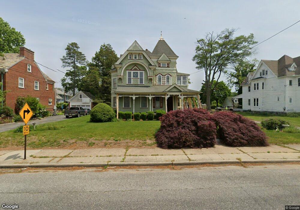
25 W Maple Ave Penns Grove, NJ 08069
Estimated Value: $298,000 - $580,000
--
Bed
--
Bath
4,037
Sq Ft
$105/Sq Ft
Est. Value
About This Home
This home is located at 25 W Maple Ave, Penns Grove, NJ 08069 and is currently estimated at $424,900, approximately $105 per square foot. 25 W Maple Ave is a home located in Salem County with nearby schools including Lafayette-Pershing Elementary School, Paul W. Carleton Elementary School, and Field Street Elementary School.
Ownership History
Date
Name
Owned For
Owner Type
Purchase Details
Closed on
May 15, 2002
Sold by
Rohach Catherine Anna
Bought by
Heisinger Bryant D and Heisinger Kathleen J
Current Estimated Value
Home Financials for this Owner
Home Financials are based on the most recent Mortgage that was taken out on this home.
Original Mortgage
$180,000
Outstanding Balance
$77,182
Interest Rate
7.15%
Estimated Equity
$347,718
Create a Home Valuation Report for This Property
The Home Valuation Report is an in-depth analysis detailing your home's value as well as a comparison with similar homes in the area
Home Values in the Area
Average Home Value in this Area
Purchase History
| Date | Buyer | Sale Price | Title Company |
|---|---|---|---|
| Heisinger Bryant D | $200,000 | -- |
Source: Public Records
Mortgage History
| Date | Status | Borrower | Loan Amount |
|---|---|---|---|
| Open | Heisinger Bryant D | $180,000 |
Source: Public Records
Tax History Compared to Growth
Tax History
| Year | Tax Paid | Tax Assessment Tax Assessment Total Assessment is a certain percentage of the fair market value that is determined by local assessors to be the total taxable value of land and additions on the property. | Land | Improvement |
|---|---|---|---|---|
| 2025 | $11,674 | $210,500 | $35,300 | $175,200 |
| 2024 | $11,283 | $210,500 | $35,300 | $175,200 |
| 2023 | $11,283 | $210,500 | $35,300 | $175,200 |
| 2022 | $10,877 | $210,500 | $35,300 | $175,200 |
| 2021 | $9,740 | $210,500 | $35,300 | $175,200 |
| 2020 | $10,544 | $210,500 | $35,300 | $175,200 |
| 2019 | $10,588 | $210,500 | $35,300 | $175,200 |
| 2018 | $12,445 | $250,000 | $38,300 | $211,700 |
| 2017 | $12,488 | $308,500 | $38,300 | $270,200 |
| 2016 | $12,016 | $308,500 | $38,300 | $270,200 |
| 2015 | $11,510 | $308,500 | $38,300 | $270,200 |
| 2014 | $11,384 | $308,500 | $38,300 | $270,200 |
Source: Public Records
Map
Nearby Homes
- 260 S Broad St
- 204 206 S Broad St
- 49 Delaware Dr
- 15 Spring St
- 213 Garnet St
- 0 Delaware Dr
- 65 S Broad St
- 121 Ash St
- 0 Park Ave Unit NJSA2013690
- 106 Sack Ave
- 85 State St
- 106 S Broad St
- 0 S Virginia Ave Unit NJSA2015906
- 32 Westminster Ave
- 91 Mill St
- 15 Walnut St
- 80 S Broad St
- 32 Walnut St
- 55 57 Walnut St
- 59-61 Walnut St