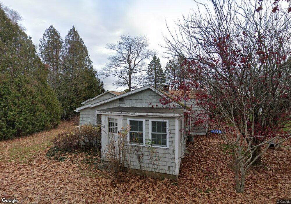
25 Wharf Rd Harpswell, ME 04079
Harpswell Neck NeighborhoodEstimated Value: $585,816 - $929,000
2
Beds
3
Baths
1,929
Sq Ft
$369/Sq Ft
Est. Value
About This Home
This home is located at 25 Wharf Rd, Harpswell, ME 04079 and is currently estimated at $711,704, approximately $368 per square foot. 25 Wharf Rd is a home located in Cumberland County with nearby schools including Mt Ararat High School.
Ownership History
Date
Name
Owned For
Owner Type
Purchase Details
Closed on
Mar 19, 2007
Sold by
Kley Sean C Est and Kley Ronald J
Bought by
Kley Ronald J and Kley Linda S
Current Estimated Value
Purchase Details
Closed on
Nov 10, 2005
Sold by
Adlerstein Lawrence J
Bought by
Kley Sean C
Purchase Details
Closed on
Aug 22, 2005
Sold by
Shaw David and Shaw Laura L
Bought by
Adlerstein Larry
Home Financials for this Owner
Home Financials are based on the most recent Mortgage that was taken out on this home.
Original Mortgage
$199,200
Outstanding Balance
$100,170
Interest Rate
5%
Mortgage Type
Adjustable Rate Mortgage/ARM
Estimated Equity
$611,534
Create a Home Valuation Report for This Property
The Home Valuation Report is an in-depth analysis detailing your home's value as well as a comparison with similar homes in the area
Home Values in the Area
Average Home Value in this Area
Purchase History
| Date | Buyer | Sale Price | Title Company |
|---|---|---|---|
| Kley Ronald J | -- | -- | |
| Kley Sean C | -- | -- | |
| Adlerstein Larry | -- | -- |
Source: Public Records
Mortgage History
| Date | Status | Borrower | Loan Amount |
|---|---|---|---|
| Open | Adlerstein Larry | $199,200 |
Source: Public Records
Tax History Compared to Growth
Tax History
| Year | Tax Paid | Tax Assessment Tax Assessment Total Assessment is a certain percentage of the fair market value that is determined by local assessors to be the total taxable value of land and additions on the property. | Land | Improvement |
|---|---|---|---|---|
| 2024 | $2,340 | $368,000 | $85,600 | $282,400 |
| 2023 | $2,245 | $368,000 | $85,600 | $282,400 |
| 2022 | $2,171 | $368,000 | $85,600 | $282,400 |
| 2021 | $1,868 | $276,300 | $76,600 | $199,700 |
| 2020 | $1,862 | $276,300 | $76,600 | $199,700 |
| 2019 | $1,851 | $276,300 | $76,600 | $199,700 |
| 2018 | $1,790 | $276,300 | $76,600 | $199,700 |
| 2017 | $1,785 | $276,300 | $76,600 | $199,700 |
| 2016 | $1,378 | $261,800 | $76,600 | $185,200 |
| 2015 | $1,225 | $196,300 | $76,600 | $119,700 |
| 2013 | $1,135 | $196,300 | $76,600 | $119,700 |
Source: Public Records
Map
Nearby Homes
- 270 Harpswell Neck Rd
- 11 Orion Point Way
- 37 & 38 S Dyers Cove Rd
- 242 Long Reach Ln
- Map 80 Lot 18-0 White Island
- Lot 129 Harpswell Neck Rd
- Lot 2A Allen Point Rd
- Lot 2B Allen Point Rd
- lot C Long Point Rd
- 41 Spruce Brook Dr
- 136 Bethel Point Rd
- 853 Mere Point Rd
- 46 Blackstone Club Rd
- 0 Bayview Rd Unit 2 1632776
- 0 Gundalo Gap Rd Unit 1638108
- 1 Mallard Pond Rd
- 83 Central Ave
- 646 Gurnet Rd
- 29 & 30 Nob Hill Ave
- 20 Long Point Island