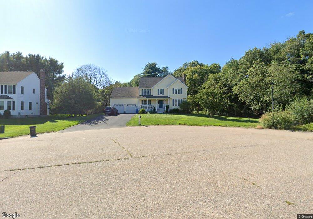
25 Whip Poor Will Cir Wrentham, MA 02093
Sheldonville NeighborhoodEstimated Value: $755,000 - $891,000
4
Beds
3
Baths
2,188
Sq Ft
$380/Sq Ft
Est. Value
About This Home
This home is located at 25 Whip Poor Will Cir, Wrentham, MA 02093 and is currently estimated at $831,954, approximately $380 per square foot. 25 Whip Poor Will Cir is a home located in Norfolk County with nearby schools including Delaney Elementary School, Charles E Roderick, and Mercymount Country Day School.
Ownership History
Date
Name
Owned For
Owner Type
Purchase Details
Closed on
Aug 8, 2001
Sold by
Ofena Corp
Bought by
Kennedy Charles R and Kennedy Audra L
Current Estimated Value
Home Financials for this Owner
Home Financials are based on the most recent Mortgage that was taken out on this home.
Original Mortgage
$304,900
Interest Rate
7.1%
Mortgage Type
Purchase Money Mortgage
Create a Home Valuation Report for This Property
The Home Valuation Report is an in-depth analysis detailing your home's value as well as a comparison with similar homes in the area
Home Values in the Area
Average Home Value in this Area
Purchase History
| Date | Buyer | Sale Price | Title Company |
|---|---|---|---|
| Kennedy Charles R | $381,127 | -- | |
| Kennedy Charles R | $381,127 | -- |
Source: Public Records
Mortgage History
| Date | Status | Borrower | Loan Amount |
|---|---|---|---|
| Open | Kennedy Charles R | $307,000 | |
| Closed | Kennedy Charles R | $304,900 | |
| Previous Owner | Kennedy Charles R | $274,425 |
Source: Public Records
Tax History Compared to Growth
Tax History
| Year | Tax Paid | Tax Assessment Tax Assessment Total Assessment is a certain percentage of the fair market value that is determined by local assessors to be the total taxable value of land and additions on the property. | Land | Improvement |
|---|---|---|---|---|
| 2025 | $8,664 | $747,500 | $284,200 | $463,300 |
| 2024 | $8,249 | $687,400 | $284,200 | $403,200 |
| 2023 | $7,933 | $628,600 | $258,400 | $370,200 |
| 2022 | $7,777 | $568,900 | $241,100 | $327,800 |
| 2021 | $7,205 | $512,100 | $210,400 | $301,700 |
| 2020 | $7,340 | $515,100 | $187,100 | $328,000 |
| 2019 | $7,063 | $500,200 | $187,100 | $313,100 |
| 2018 | $6,851 | $481,100 | $187,500 | $293,600 |
| 2017 | $6,709 | $470,800 | $183,800 | $287,000 |
| 2016 | $6,613 | $463,100 | $178,500 | $284,600 |
| 2015 | $6,636 | $443,000 | $171,600 | $271,400 |
| 2014 | $6,573 | $429,300 | $165,100 | $264,200 |
Source: Public Records
Map
Nearby Homes
- 440 Chestnut St
- 955 Summer St
- 80 Carriage House Ln
- 50 Green St
- 6 Woodchester Rd
- 0 Fall Ln
- 55 Lawrence Dr Unit 55
- 791 South St Unit 5
- 29 Lawrence Dr
- Lot 1 - Blueberry 2 Car Plan at King Philip Estates
- Lot 8 - Blueberry 2 Car Plan at King Philip Estates
- Lot 5 - Hughes 2 car Plan at King Philip Estates
- Lot 6 - Blueberry 3 Car Plan at King Philip Estates
- Lot 2 - Camden 2 Car Plan at King Philip Estates
- Lot 7 - Cedar Plan at King Philip Estates
- Lot 4 - Hemingway 2 Car Plan at King Philip Estates
- Lot 3 - Blueberry 2 Car Plan at King Philip Estates
- Lot 3 - 14 Earle Stewart Ln
- 1204 South St
- 1222 South St
- 15 Whip Poor Will Cir
- 2 Ingrid Dr
- 5 Whip Poor Will Cir
- 30 Whip Poor Will Cir
- 20 Whip Poor Will Cir
- 5 Ingrid Dr
- 10 Whip Poor Will Cir
- 308 Chestnut St
- 20 Ingrid Dr
- 260 Chestnut St
- 346 Chestnut St
- 348 Chestnut St
- 15 Ingrid Dr
- 277 Chestnut St
- 240 Chestnut St
- 267 Chestnut St
- 287 Chestnut St
- 352 Chestnut St
- 359 Chestnut St
- 349 Chestnut St