25 White Spruce Way Jim Thorpe, PA 18229
Estimated Value: $314,920 - $362,000
3
Beds
2
Baths
1,230
Sq Ft
$273/Sq Ft
Est. Value
About This Home
This home is located at 25 White Spruce Way, Jim Thorpe, PA 18229 and is currently estimated at $335,230, approximately $272 per square foot. 25 White Spruce Way is a home located in Carbon County with nearby schools including Jim Thorpe Area High School.
Ownership History
Date
Name
Owned For
Owner Type
Purchase Details
Closed on
Oct 8, 2013
Sold by
Mtglq Investors Lp
Bought by
Walker Robert D and Walker Joan E
Current Estimated Value
Home Financials for this Owner
Home Financials are based on the most recent Mortgage that was taken out on this home.
Original Mortgage
$107,920
Outstanding Balance
$81,157
Interest Rate
4.52%
Mortgage Type
New Conventional
Estimated Equity
$254,073
Purchase Details
Closed on
Aug 2, 2013
Sold by
Klotz Robin N and Klotz William J
Bought by
Mtglq Investors Lp
Purchase Details
Closed on
Apr 24, 2006
Sold by
Sibbach Paul A
Bought by
Klotz William J and Klotz Robin N
Home Financials for this Owner
Home Financials are based on the most recent Mortgage that was taken out on this home.
Original Mortgage
$185,500
Interest Rate
6.37%
Mortgage Type
New Conventional
Create a Home Valuation Report for This Property
The Home Valuation Report is an in-depth analysis detailing your home's value as well as a comparison with similar homes in the area
Home Values in the Area
Average Home Value in this Area
Purchase History
| Date | Buyer | Sale Price | Title Company |
|---|---|---|---|
| Walker Robert D | $134,900 | None Available | |
| Mtglq Investors Lp | $4,810 | None Available | |
| Klotz William J | $185,500 | None Available |
Source: Public Records
Mortgage History
| Date | Status | Borrower | Loan Amount |
|---|---|---|---|
| Open | Walker Robert D | $107,920 | |
| Previous Owner | Klotz William J | $185,500 |
Source: Public Records
Tax History Compared to Growth
Tax History
| Year | Tax Paid | Tax Assessment Tax Assessment Total Assessment is a certain percentage of the fair market value that is determined by local assessors to be the total taxable value of land and additions on the property. | Land | Improvement |
|---|---|---|---|---|
| 2025 | $4,290 | $69,734 | $4,350 | $65,384 |
| 2024 | $4,081 | $69,734 | $4,350 | $65,384 |
| 2023 | $3,693 | $63,934 | $4,350 | $59,584 |
| 2022 | $3,693 | $63,934 | $4,350 | $59,584 |
| 2021 | $3,693 | $63,934 | $4,350 | $59,584 |
| 2020 | $3,693 | $63,934 | $4,350 | $59,584 |
| 2019 | $3,566 | $63,934 | $4,350 | $59,584 |
| 2018 | $3,566 | $63,934 | $4,350 | $59,584 |
| 2017 | $3,566 | $63,934 | $4,350 | $59,584 |
| 2016 | -- | $63,934 | $4,350 | $59,584 |
| 2015 | -- | $63,934 | $4,350 | $59,584 |
| 2014 | -- | $67,700 | $4,350 | $63,350 |
Source: Public Records
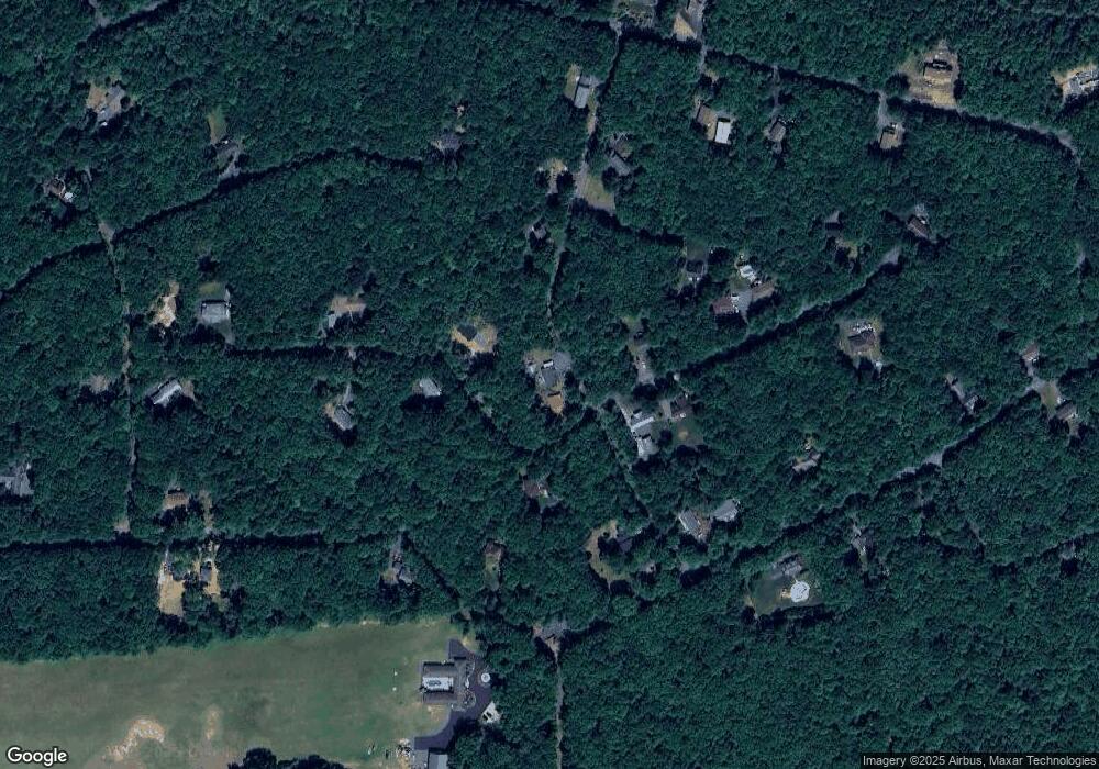
Map
Nearby Homes
- A278 Sunrise Dr
- A280 Sunrise Dr
- A279 Sunrise Dr
- A384 Sunset Dr
- A385 Sunset Dr
- 148 Broad Mountain View Dr
- 2281 Seneca & W Cherokee Trail
- 367 Sparrow Ln
- 367 & 368 Sparrow Ln
- A366 Sparrow Ln
- Lot# 367 & 368 Sparrow Ln
- 161 Quail Dr
- 219 Mountain View
- 23 Maple Dr
- 135 Rosewood Dr
- 7 State Route 903
- 24 Indian Trail Rd
- 29 Hollyberry Ln
- 180 Mountain View
- A141 Rosewood Dr
- 25 White Spruce Way Unit 291
- 322 Sunrise Dr
- Lot 311 Sunrise Dr
- 31 Sunrise Dr
- 304 Sunrise Dr
- 305 Sunrise Dr
- A284 & 290 Sunrise Dr
- 309 Sunrise Dr
- 282 Sunrise Dr
- 283 Sunrise Dr
- 308 Sunrise Dr
- 281 Sunrise Dr
- 312 Sunrise Dr
- 58 Sunrise Dr
- 61 Sunrise Dr
- 48 Sunrise Dr
- 62 Sunrise Dr
- Lot 286 Sunset Dr
- 32 White Spruce Way
- 76 Sunset Dr