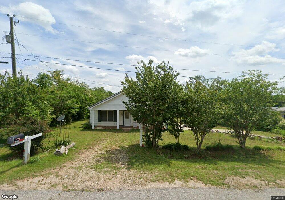
25 Wide Rd Griffin, GA 30224
Spalding County NeighborhoodEstimated Value: $157,415 - $261,000
3
Beds
2
Baths
1,326
Sq Ft
$156/Sq Ft
Est. Value
About This Home
This home is located at 25 Wide Rd, Griffin, GA 30224 and is currently estimated at $207,104, approximately $156 per square foot. 25 Wide Rd is a home located in Spalding County with nearby schools including Moreland Road Elementary School, Carver Road Middle School, and Griffin High School.
Ownership History
Date
Name
Owned For
Owner Type
Purchase Details
Closed on
Jan 23, 2013
Sold by
Williams Joe Louis
Bought by
Williams Catherine Harris
Current Estimated Value
Purchase Details
Closed on
Aug 18, 1976
Sold by
Cook Jesse
Bought by
Family Home Services
Purchase Details
Closed on
Dec 3, 1973
Sold by
Family Home Services
Bought by
Williams Joe and Williams Catherine
Purchase Details
Closed on
Oct 10, 1968
Sold by
Harris Elnora Etal
Bought by
Harris Elnora
Purchase Details
Closed on
Apr 9, 1968
Sold by
Kendall Johnnie C
Bought by
Harris Elnora Etal
Purchase Details
Closed on
Aug 22, 1941
Bought by
Kendall Johnnie C
Create a Home Valuation Report for This Property
The Home Valuation Report is an in-depth analysis detailing your home's value as well as a comparison with similar homes in the area
Home Values in the Area
Average Home Value in this Area
Purchase History
| Date | Buyer | Sale Price | Title Company |
|---|---|---|---|
| Williams Catherine Harris | -- | -- | |
| Family Home Services | -- | -- | |
| Williams Joe | $5,000 | -- | |
| Harris Elnora | -- | -- | |
| Cook Jesse | $500 | -- | |
| Harris Elnora Etal | $500 | -- | |
| Kendall Johnnie C | -- | -- |
Source: Public Records
Tax History Compared to Growth
Tax History
| Year | Tax Paid | Tax Assessment Tax Assessment Total Assessment is a certain percentage of the fair market value that is determined by local assessors to be the total taxable value of land and additions on the property. | Land | Improvement |
|---|---|---|---|---|
| 2024 | $143 | $41,152 | $2,700 | $38,452 |
| 2023 | $143 | $30,339 | $2,700 | $27,639 |
| 2022 | $88 | $24,619 | $2,340 | $22,279 |
| 2021 | $78 | $21,756 | $2,340 | $19,416 |
| 2020 | $81 | $21,756 | $2,340 | $19,416 |
| 2019 | $81 | $21,756 | $2,340 | $19,416 |
| 2018 | $75 | $19,925 | $2,340 | $17,585 |
| 2017 | $741 | $19,925 | $2,340 | $17,585 |
| 2016 | $75 | $19,925 | $2,340 | $17,585 |
| 2015 | $86 | $19,925 | $2,340 | $17,585 |
| 2014 | $86 | $19,925 | $2,340 | $17,585 |
Source: Public Records
Map
Nearby Homes
- 90 & 212 Kendall Dr
- 127 Canaan Ct
- 329 Maloy Rd
- 502 N Rover Rd
- 0 Newnan Rd Unit 10550410
- 474 N Rover Rd
- 0 Maloy Rd Unit 7407276
- 0 Maloy Rd Unit 10322485
- 120 Delray Cir Unit 2
- 103 Jacqueline Dr
- 3890 Newnan Rd
- 118 Jacqueline Dr
- 3861 Newnan Rd
- 145 Wilder Way
- 128 Wilder Way
- 1851 Abbey Rd
- 121 Wilder Way
- 1838 Abbey Rd
- 1818 Abbey Rd
- 1725 Wesminster Dr