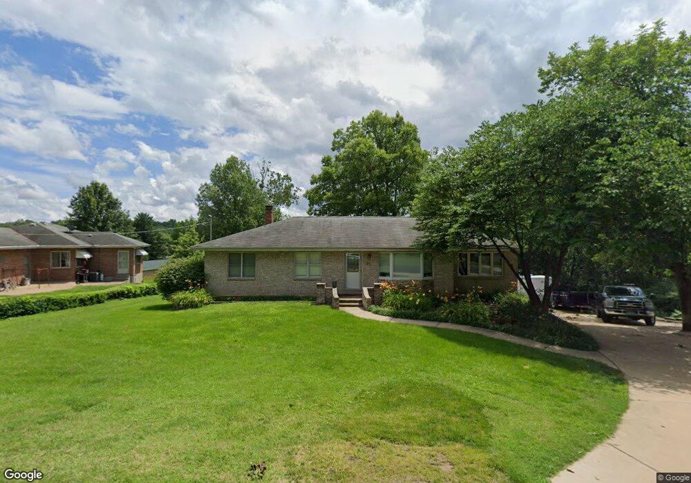
25 Will Dr Fenton, MO 63026
Estimated Value: $187,632 - $262,000
Studio
--
Bath
1,092
Sq Ft
$206/Sq Ft
Est. Value
About This Home
This home is located at 25 Will Dr, Fenton, MO 63026 and is currently estimated at $224,408, approximately $205 per square foot. 25 Will Dr is a home located in Jefferson County with nearby schools including Northwest High School, Messenger Christian School, and St. Paul School.
Ownership History
Date
Name
Owned For
Owner Type
Purchase Details
Closed on
Aug 30, 2000
Sold by
Dooley James E and Dooley Judith F
Bought by
Dooley John P and Dooley Roxanne M
Current Estimated Value
Home Financials for this Owner
Home Financials are based on the most recent Mortgage that was taken out on this home.
Original Mortgage
$76,312
Outstanding Balance
$27,557
Interest Rate
7.97%
Mortgage Type
FHA
Estimated Equity
$196,851
Purchase Details
Closed on
Aug 10, 1999
Sold by
Schaefer Ruth M
Bought by
Dooley James E and Dooley Judith F
Home Financials for this Owner
Home Financials are based on the most recent Mortgage that was taken out on this home.
Original Mortgage
$56,000
Interest Rate
7.76%
Purchase Details
Closed on
Mar 11, 1999
Sold by
Schaefer William and Schaefer Ruth
Bought by
Schaefer Stephen A and Soybel Mary K
Create a Home Valuation Report for This Property
The Home Valuation Report is an in-depth analysis detailing your home's value as well as a comparison with similar homes in the area
Home Values in the Area
Average Home Value in this Area
Purchase History
| Date | Buyer | Sale Price | Title Company |
|---|---|---|---|
| Dooley John P | -- | First American Title | |
| Dooley James E | -- | First American Title | |
| Schaefer Stephen A | -- | -- |
Source: Public Records
Mortgage History
| Date | Status | Borrower | Loan Amount |
|---|---|---|---|
| Open | Dooley John P | $76,312 | |
| Previous Owner | Dooley James E | $56,000 |
Source: Public Records
Tax History
| Year | Tax Paid | Tax Assessment Tax Assessment Total Assessment is a certain percentage of the fair market value that is determined by local assessors to be the total taxable value of land and additions on the property. | Land | Improvement |
|---|---|---|---|---|
| 2025 | $1,213 | $18,100 | $1,900 | $16,200 |
| 2024 | $1,213 | $16,800 | $1,900 | $14,900 |
| 2023 | $1,213 | $16,800 | $1,900 | $14,900 |
| 2022 | $1,136 | $15,800 | $1,900 | $13,900 |
| 2021 | $1,129 | $15,800 | $1,900 | $13,900 |
| 2020 | $1,046 | $14,300 | $1,600 | $12,700 |
| 2019 | $1,045 | $14,300 | $1,600 | $12,700 |
| 2018 | $1,059 | $14,300 | $1,600 | $12,700 |
| 2016 | $881 | $12,900 | $1,700 | $11,200 |
Source: Public Records
Map
Nearby Homes
- 800 Mary Lee Ct
- 811 Mary Lee Ct
- 711 Mosely Ct
- 818 Mary Lee Ct
- 100 Orchid Dr Unit 100
- 91 Poppy Dr Unit 91
- 1375 Mosswoods Dr
- 52 Glenwood Dr
- 26 W Lakewood Dr
- 1230 Summit Meadows Dr
- 916 Tree Trails Ln
- 53 Lois Ln
- 946 Tree Trails Ln
- 1812 Debbie Dr
- 1360 Premio Dr
- 998 Tree Trails Ln
- 1029 Ginger Root Dr
- 1829 Main Dr
- 000 Gravois Summit
- 927 Gravois Rd
Your Personal Tour Guide
Ask me questions while you tour the home.