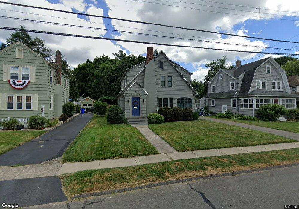
25 Woodland St Wethersfield, CT 06109
Estimated Value: $480,000 - $575,000
3
Beds
2
Baths
1,704
Sq Ft
$305/Sq Ft
Est. Value
About This Home
This home is located at 25 Woodland St, Wethersfield, CT 06109 and is currently estimated at $519,183, approximately $304 per square foot. 25 Woodland St is a home located in Hartford County with nearby schools including Alfred W. Hanmer School, Silas Deane Middle School, and Wethersfield High School.
Ownership History
Date
Name
Owned For
Owner Type
Purchase Details
Closed on
Mar 3, 2025
Sold by
Alrbycht Charles J and Alrbycht Eileen F
Bought by
Albrycht Peter D and Albrycht Jason M
Current Estimated Value
Purchase Details
Closed on
Oct 1, 2001
Sold by
Liska Carol E
Bought by
Albrycht Charles J and Albrycht Eileen F
Purchase Details
Closed on
Mar 28, 1994
Sold by
Austin Harold L and Austin Rose P
Bought by
Liska Carol E
Create a Home Valuation Report for This Property
The Home Valuation Report is an in-depth analysis detailing your home's value as well as a comparison with similar homes in the area
Home Values in the Area
Average Home Value in this Area
Purchase History
| Date | Buyer | Sale Price | Title Company |
|---|---|---|---|
| Albrycht Peter D | -- | None Available | |
| Albrycht Peter D | -- | None Available | |
| Albrycht Charles J | $240,000 | -- | |
| Albrycht Charles J | $240,000 | -- | |
| Liska Carol E | $148,000 | -- | |
| Liska Carol E | $148,000 | -- |
Source: Public Records
Mortgage History
| Date | Status | Borrower | Loan Amount |
|---|---|---|---|
| Previous Owner | Liska Carol E | $180,405 | |
| Previous Owner | Liska Carol E | $100,000 |
Source: Public Records
Tax History Compared to Growth
Tax History
| Year | Tax Paid | Tax Assessment Tax Assessment Total Assessment is a certain percentage of the fair market value that is determined by local assessors to be the total taxable value of land and additions on the property. | Land | Improvement |
|---|---|---|---|---|
| 2025 | $11,703 | $283,910 | $122,220 | $161,690 |
| 2024 | $7,907 | $182,940 | $81,200 | $101,740 |
| 2023 | $7,643 | $182,940 | $81,200 | $101,740 |
| 2022 | $7,515 | $182,940 | $81,200 | $101,740 |
| 2021 | $7,440 | $182,940 | $81,200 | $101,740 |
| 2020 | $7,444 | $182,940 | $81,200 | $101,740 |
| 2019 | $7,453 | $182,940 | $81,200 | $101,740 |
| 2018 | $7,565 | $185,500 | $79,200 | $106,300 |
| 2017 | $7,377 | $185,500 | $79,200 | $106,300 |
| 2016 | $7,149 | $185,500 | $79,200 | $106,300 |
| 2015 | $7,084 | $185,500 | $79,200 | $106,300 |
| 2014 | $6,815 | $185,500 | $79,200 | $106,300 |
Source: Public Records
Map
Nearby Homes
- 118 Church St
- 41 Hartford Ave
- 14 Fernwood St
- 317 Garden St Unit 319
- 226 Broad St Unit 1S
- 26 Tifton Rd
- 9 Avalon Place
- 493 Main St
- 18 Avalon Place
- 35 Stillwold Dr
- 442 Wolcott Hill Rd
- 48 Sharon Ln
- 7 Harmund Ct
- 108 Chamberlain Rd
- 159 Spring St Unit 159
- 193 Wolcott Hill Rd Unit 195
- 177 Spring St Unit 177
- 89 Longvue Dr
- 206 Middletown Ave
- 43 Dudley Rd