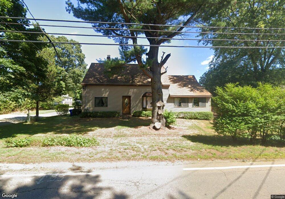
25 Worcester St Taunton, MA 02780
Oakland NeighborhoodEstimated Value: $598,140 - $670,000
6
Beds
3
Baths
2,499
Sq Ft
$257/Sq Ft
Est. Value
About This Home
This home is located at 25 Worcester St, Taunton, MA 02780 and is currently estimated at $641,785, approximately $256 per square foot. 25 Worcester St is a home located in Bristol County with nearby schools including Benjamin Friedman Middle School, Joseph C. Chamberlain Elementary School, and Taunton High School.
Ownership History
Date
Name
Owned For
Owner Type
Purchase Details
Closed on
Feb 28, 1983
Bought by
Bates Dirk O and Bates Margaret M
Current Estimated Value
Create a Home Valuation Report for This Property
The Home Valuation Report is an in-depth analysis detailing your home's value as well as a comparison with similar homes in the area
Home Values in the Area
Average Home Value in this Area
Purchase History
| Date | Buyer | Sale Price | Title Company |
|---|---|---|---|
| Bates Dirk O | -- | -- |
Source: Public Records
Mortgage History
| Date | Status | Borrower | Loan Amount |
|---|---|---|---|
| Open | Bates Dirk O | $10,950 | |
| Open | Bates Dirk O | $27,800 | |
| Open | Bates Dirk O | $145,300 |
Source: Public Records
Tax History Compared to Growth
Tax History
| Year | Tax Paid | Tax Assessment Tax Assessment Total Assessment is a certain percentage of the fair market value that is determined by local assessors to be the total taxable value of land and additions on the property. | Land | Improvement |
|---|---|---|---|---|
| 2025 | $6,036 | $551,700 | $140,100 | $411,600 |
| 2024 | $5,409 | $483,400 | $140,100 | $343,300 |
| 2023 | $5,120 | $424,900 | $140,100 | $284,800 |
| 2022 | $4,655 | $353,200 | $118,100 | $235,100 |
| 2021 | $3,413 | $320,200 | $108,100 | $212,100 |
| 2020 | $3,363 | $298,900 | $108,100 | $190,800 |
| 2019 | $3,258 | $267,000 | $113,100 | $153,900 |
| 2018 | $4,076 | $259,300 | $114,100 | $145,200 |
| 2017 | $3,797 | $241,700 | $108,800 | $132,900 |
| 2016 | $3,657 | $233,200 | $105,600 | $127,600 |
| 2015 | $3,346 | $222,900 | $105,600 | $117,300 |
| 2014 | $3,257 | $222,900 | $105,600 | $117,300 |
Source: Public Records
Map
Nearby Homes
- 166 Alfred Lord Blvd
- 10 1/2 Worcester St
- Lot 6 Tremont St
- 50 Rosewood Dr
- 76 Twin Brook Ln
- 13 Northway
- 115 Ice House Rd
- 80 Short St
- 0 Norton Ave Unit 73445127
- 17 Davis St
- 3 Jeffrey Ln
- 193 Fremont St
- 25 Wintergreen Ln
- 218 Dunbar St
- 90 Mello Dr
- 16 Hunter St Unit A
- 193 Tremont St Unit 95
- 588 Crane Ave S
- Lot 8 Joel Harvey Way
- 470 Hodges St
- 239 Alfred Lord Blvd
- 28 Worcester St
- 27 Worcester St
- 27R Worcester St
- 27 Worcester St Unit R
- 30 Worcester St
- 235 Alfred Lord Blvd
- 20 Worcester St
- 29 Worcester St
- 29R Worcester St
- 32 Worcester St
- 223 Alfred Lord Blvd
- 223 Alfred Lord Blvd Unit 1
- 23 Worcester St
- 31 1/2 Worcester St
- 31 Worcester St
- 249 Alfred Lord Blvd
- 33 Worcester St
- 34 Worcester St
- 211 Alfred Lord Blvd