25 Yiayias Way Alfred, ME 04002
Estimated Value: $512,000 - $644,735
3
Beds
--
Bath
1,568
Sq Ft
$375/Sq Ft
Est. Value
About This Home
This home is located at 25 Yiayias Way, Alfred, ME 04002 and is currently estimated at $587,934, approximately $374 per square foot. 25 Yiayias Way is a home with nearby schools including Massabesic High School.
Ownership History
Date
Name
Owned For
Owner Type
Purchase Details
Closed on
Feb 15, 2013
Sold by
Caramihalis K D Est and Caramihalis
Bought by
Cutten Ann C and Cutten Gordon R
Current Estimated Value
Home Financials for this Owner
Home Financials are based on the most recent Mortgage that was taken out on this home.
Original Mortgage
$160,000
Outstanding Balance
$110,906
Interest Rate
3.38%
Mortgage Type
New Conventional
Estimated Equity
$477,028
Create a Home Valuation Report for This Property
The Home Valuation Report is an in-depth analysis detailing your home's value as well as a comparison with similar homes in the area
Home Values in the Area
Average Home Value in this Area
Purchase History
| Date | Buyer | Sale Price | Title Company |
|---|---|---|---|
| Cutten Ann C | -- | -- | |
| Cutten Ann C | -- | -- |
Source: Public Records
Mortgage History
| Date | Status | Borrower | Loan Amount |
|---|---|---|---|
| Open | Cutten Ann C | $160,000 | |
| Closed | Cutten Ann C | $160,000 |
Source: Public Records
Tax History Compared to Growth
Tax History
| Year | Tax Paid | Tax Assessment Tax Assessment Total Assessment is a certain percentage of the fair market value that is determined by local assessors to be the total taxable value of land and additions on the property. | Land | Improvement |
|---|---|---|---|---|
| 2025 | $5,942 | $615,795 | $199,592 | $416,203 |
| 2024 | $5,819 | $615,795 | $199,592 | $416,203 |
| 2023 | $5,555 | $295,500 | $79,000 | $216,500 |
| 2022 | $5,121 | $284,500 | $68,000 | $216,500 |
| 2021 | $4,771 | $276,600 | $68,000 | $208,600 |
| 2020 | $4,536 | $276,600 | $68,000 | $208,600 |
| 2019 | $4,536 | $276,600 | $68,000 | $208,600 |
| 2018 | $4,398 | $276,600 | $68,000 | $208,600 |
| 2017 | $4,398 | $276,600 | $68,000 | $208,600 |
| 2016 | $4,190 | $276,600 | $68,000 | $208,600 |
| 2015 | $4,011 | $276,600 | $68,000 | $208,600 |
| 2014 | $3,715 | $260,700 | $68,000 | $192,700 |
| 2013 | $3,585 | $260,700 | $68,000 | $192,700 |
Source: Public Records
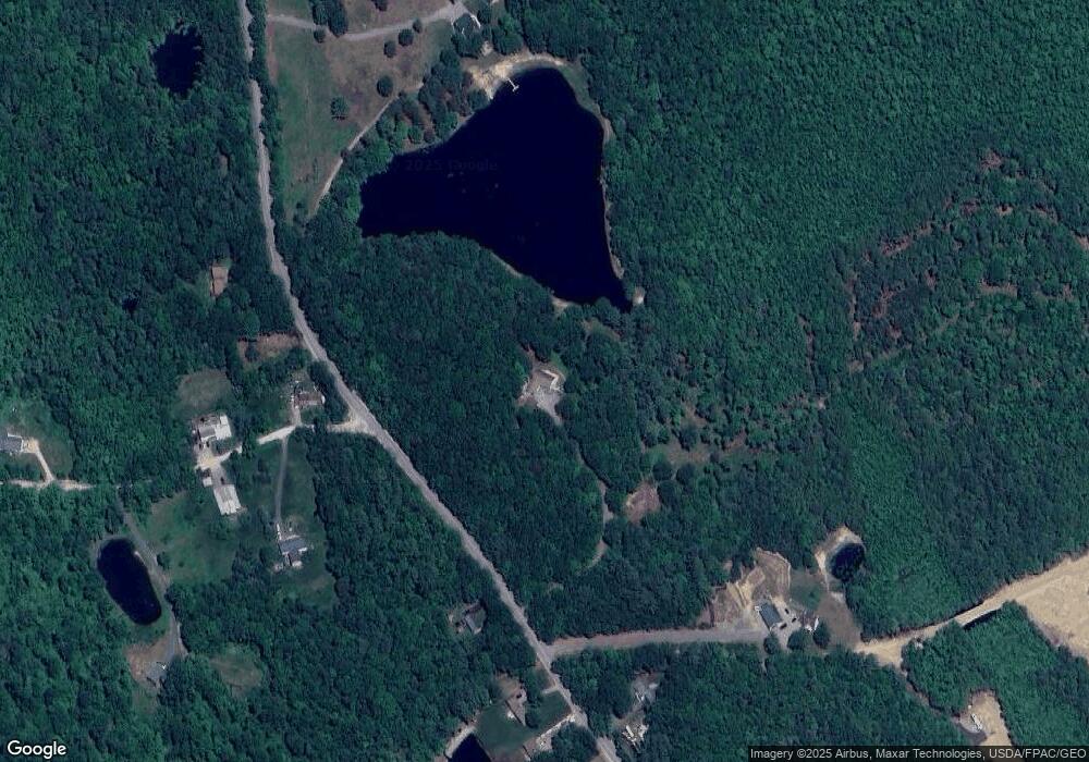
Map
Nearby Homes
- Lot 14 Milk Rd
- 9 Restful Way
- 255 Ross Corner Rd
- 26 Bradburn Rd
- 660 Ross Corner Rd
- 52 Long Causeway
- 450 West Rd
- 599 Gore Rd
- Map9 L46-5 Old Middle Rd
- 1090 Middle Rd
- 002-031-B Shapleigh Corner Rd
- 3 & 7 Back Rd
- 5 Cooper Way
- 410 Ossipee Hill Rd
- 95 Walnut Hill Rd
- 3 Forest View Ln Unit 3
- 691 Gore Rd
- 15 Scooter Way
- 19 Rodrigue Ln
- Map4lot2 Back Rd