250 Bigham Brown Rd Eagle Point, OR 97524
Estimated Value: $458,266 - $672,000
4
Beds
2
Baths
1,650
Sq Ft
$361/Sq Ft
Est. Value
About This Home
This home is located at 250 Bigham Brown Rd, Eagle Point, OR 97524 and is currently estimated at $595,089, approximately $360 per square foot. 250 Bigham Brown Rd is a home located in Jackson County with nearby schools including Table Rock Elementary School, White Mountain Middle School, and Eagle Point Middle School.
Ownership History
Date
Name
Owned For
Owner Type
Purchase Details
Closed on
Jul 28, 2011
Sold by
Boren Michael D and Boren Beverly A
Bought by
Hill Michael A and Hill Marti Lyn
Current Estimated Value
Home Financials for this Owner
Home Financials are based on the most recent Mortgage that was taken out on this home.
Original Mortgage
$176,500
Outstanding Balance
$119,815
Interest Rate
4.46%
Mortgage Type
New Conventional
Estimated Equity
$475,274
Create a Home Valuation Report for This Property
The Home Valuation Report is an in-depth analysis detailing your home's value as well as a comparison with similar homes in the area
Purchase History
| Date | Buyer | Sale Price | Title Company |
|---|---|---|---|
| Hill Michael A | $253,000 | First American |
Source: Public Records
Mortgage History
| Date | Status | Borrower | Loan Amount |
|---|---|---|---|
| Open | Hill Michael A | $176,500 |
Source: Public Records
Tax History
| Year | Tax Paid | Tax Assessment Tax Assessment Total Assessment is a certain percentage of the fair market value that is determined by local assessors to be the total taxable value of land and additions on the property. | Land | Improvement |
|---|---|---|---|---|
| 2026 | $2,683 | $226,180 | -- | -- |
| 2025 | $2,613 | $219,600 | $91,810 | $127,790 |
| 2024 | $2,613 | $213,210 | $89,140 | $124,070 |
| 2023 | $2,524 | $207,000 | $86,550 | $120,450 |
| 2022 | $2,458 | $207,000 | $86,550 | $120,450 |
| 2021 | $2,387 | $200,980 | $84,030 | $116,950 |
| 2020 | $2,570 | $195,130 | $81,580 | $113,550 |
| 2019 | $2,537 | $183,940 | $76,890 | $107,050 |
| 2018 | $2,480 | $178,590 | $74,650 | $103,940 |
| 2017 | $2,421 | $178,590 | $74,650 | $103,940 |
| 2016 | $2,359 | $168,340 | $70,350 | $97,990 |
| 2015 | $2,258 | $168,340 | $70,350 | $97,990 |
| 2014 | $2,193 | $158,680 | $66,310 | $92,370 |
Source: Public Records
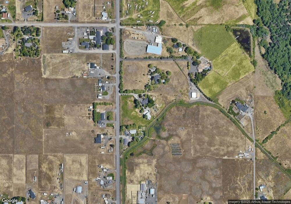
Map
Nearby Homes
- 597 Bigham Brown Rd
- 7314 Kershaw Rd
- 7735 Atlantic Ave
- 7843 Cadence Ln
- 6915 Kershaw Rd
- 3851 Agate Meadows Ct
- 7961 Isabella Way
- 7540 Rocio Dr
- 3973 Cole Dr
- 7894 Laura Ln
- 3775 Agate Meadows Ct
- 8268 29th St
- 3601 Avenue C Unit 11
- 3635 Antelope Rd Unit SPC 19
- 3501 Avenue C Unit SPC 35
- 7867 Houston Loop
- 7865 Houston Loop
- 7890 28th St
- 7859 28th St
- 7857 28th St
- 320 Bigham Brown Rd
- 203 Bigham Brown Rd
- 181 Bigham Brown Rd
- 297 Bigham Brown Rd
- 350 Bigham Brown Rd
- 404 Bigham Brown Rd
- 409 Bigham Brown Rd
- 97 Bigham Brown Rd
- 4865 Antelope Rd
- 441 Bigham Brown Rd
- 45 Bigham Brown Rd
- 4685 Antelope Rd
- 4592 Avenue E
- 501 Bigham Brown Rd
- 4750 Antelope Rd
- 4746 Antelope Rd
- 4867 Antelope Rd
- 4595 Avenue E
- 4666 Antelope Rd
- 4865 Antelope Rd
Your Personal Tour Guide
Ask me questions while you tour the home.