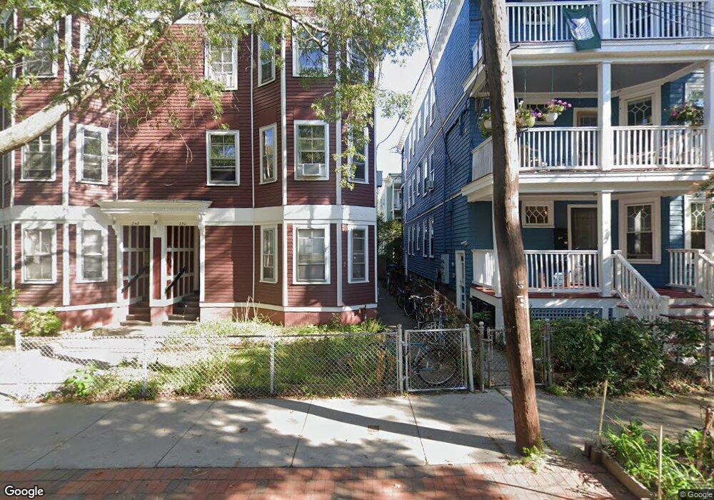
250 Brookline St Unit 2 Cambridge, MA 02139
Cambridgeport NeighborhoodEstimated Value: $585,804 - $860,000
2
Beds
1
Bath
854
Sq Ft
$868/Sq Ft
Est. Value
About This Home
This home is located at 250 Brookline St Unit 2, Cambridge, MA 02139 and is currently estimated at $741,201, approximately $867 per square foot. 250 Brookline St Unit 2 is a home located in Middlesex County with nearby schools including New England Hebrew Academy, Saint Paul's Choir School, and Boston University Academy.
Ownership History
Date
Name
Owned For
Owner Type
Purchase Details
Closed on
Dec 23, 2019
Sold by
Bridge 250 & 2 T
Bought by
B Line Properties Llc
Current Estimated Value
Home Financials for this Owner
Home Financials are based on the most recent Mortgage that was taken out on this home.
Original Mortgage
$4,000,000
Outstanding Balance
$3,491,776
Interest Rate
3.6%
Mortgage Type
New Conventional
Estimated Equity
-$2,750,575
Purchase Details
Closed on
Dec 21, 1989
Sold by
Bridge T
Bought by
Bridge #250-2 T
Create a Home Valuation Report for This Property
The Home Valuation Report is an in-depth analysis detailing your home's value as well as a comparison with similar homes in the area
Home Values in the Area
Average Home Value in this Area
Purchase History
| Date | Buyer | Sale Price | Title Company |
|---|---|---|---|
| B Line Properties Llc | -- | None Available | |
| Bridge #250-2 T | $30,793 | -- |
Source: Public Records
Mortgage History
| Date | Status | Borrower | Loan Amount |
|---|---|---|---|
| Open | B Line Properties Llc | $4,000,000 |
Source: Public Records
Tax History Compared to Growth
Tax History
| Year | Tax Paid | Tax Assessment Tax Assessment Total Assessment is a certain percentage of the fair market value that is determined by local assessors to be the total taxable value of land and additions on the property. | Land | Improvement |
|---|---|---|---|---|
| 2025 | $2,557 | $402,700 | $0 | $402,700 |
| 2024 | $2,340 | $395,200 | $0 | $395,200 |
| 2023 | $2,300 | $392,500 | $0 | $392,500 |
| 2022 | $2,290 | $386,900 | $0 | $386,900 |
| 2021 | $2,242 | $383,300 | $0 | $383,300 |
| 2020 | $2,170 | $377,400 | $0 | $377,400 |
| 2019 | $2,077 | $349,700 | $0 | $349,700 |
| 2018 | $2,016 | $320,500 | $0 | $320,500 |
| 2017 | $1,927 | $296,900 | $0 | $296,900 |
| 2016 | $1,560 | $223,200 | $0 | $223,200 |
| 2015 | $1,543 | $197,300 | $0 | $197,300 |
| 2014 | $1,517 | $181,000 | $0 | $181,000 |
Source: Public Records
Map
Nearby Homes
- 131 Erie St Unit 3
- 131 Erie St
- 161 Hamilton St
- 174 Hamilton St
- 260 Sidney St Unit 3R
- 214 Allston St
- 125 Brookline St Unit 4
- 8 Watson St Unit 8
- 6-8 Watson St Unit 8
- 127 Auburn St
- 129 Auburn St
- 1 Jay St
- 300 Franklin St Unit 5
- 300 Franklin St Unit 1
- 300 Franklin St Unit 2
- 53 Jay St Unit 2
- 2 Hingham St
- 12 Inman St Unit 55
- 149A Bishop Allen Unit A
- 863 Massachusetts Ave Unit 25
- 248 Brookline St Unit 3
- 248 Brookline St Unit 2
- 248 Brookline St Unit 1
- 248 Brookline St
- 250 Brookline St Unit 3
- 250 Brookline St Unit 1
- 250 Brookline St
- 244 Brookline St Unit 250
- 246 Brookline St Unit 2
- 246 Brookline St Unit 1
- 246 Brookline St
- 254 Brookline St
- 98 Allston St Unit 3
- 98 Allston St Unit 2
- 98 Allston St Unit 1
- 256 Brookline St
- 92 Allston St
- 238 Brookline St
- 238 Brookline St Unit 238
- 238 Brookline St