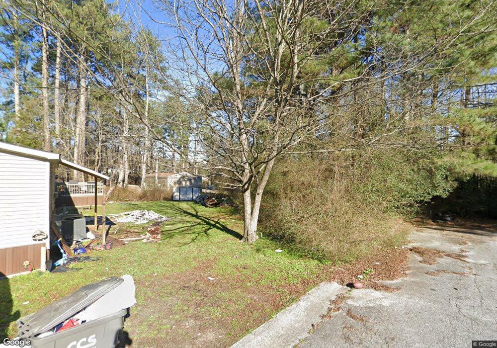
250 Cedar Heights Rd Unit 19 Carrollton, GA 30116
Estimated Value: $90,000 - $134,000
3
Beds
2
Baths
1,280
Sq Ft
$88/Sq Ft
Est. Value
About This Home
This home is located at 250 Cedar Heights Rd Unit 19, Carrollton, GA 30116 and is currently estimated at $112,000, approximately $87 per square foot. 250 Cedar Heights Rd Unit 19 is a home located in Carroll County with nearby schools including Central Elementary School, Central Middle School, and Central High School.
Ownership History
Date
Name
Owned For
Owner Type
Purchase Details
Closed on
Mar 29, 2013
Sold by
Thayer91234 Llc
Bought by
Roane Fam Partnership Lp
Current Estimated Value
Home Financials for this Owner
Home Financials are based on the most recent Mortgage that was taken out on this home.
Original Mortgage
$249,858
Interest Rate
3.52%
Mortgage Type
New Conventional
Purchase Details
Closed on
Oct 27, 2006
Sold by
Johnson Tony B
Bought by
Thomas Debra
Purchase Details
Closed on
Dec 20, 2000
Sold by
Roane Spencer B
Bought by
Roane Family Parters
Purchase Details
Closed on
Mar 4, 1994
Sold by
Realty Info Svc
Bought by
Roane Roane and Roane Proper
Purchase Details
Closed on
Sep 1, 1990
Bought by
Realty Info Svc
Create a Home Valuation Report for This Property
The Home Valuation Report is an in-depth analysis detailing your home's value as well as a comparison with similar homes in the area
Home Values in the Area
Average Home Value in this Area
Purchase History
| Date | Buyer | Sale Price | Title Company |
|---|---|---|---|
| Roane Fam Partnership Lp | $1,510,057 | -- | |
| Thomas Debra | $36,500 | -- | |
| Roane Family Parters | $157,500 | -- | |
| Norish Enterprises L | $350,000 | -- | |
| Roane Roane | $717,000 | -- | |
| Realty Info Svc | -- | -- |
Source: Public Records
Mortgage History
| Date | Status | Borrower | Loan Amount |
|---|---|---|---|
| Closed | Roane Fam Partnership Lp | $249,858 |
Source: Public Records
Tax History Compared to Growth
Tax History
| Year | Tax Paid | Tax Assessment Tax Assessment Total Assessment is a certain percentage of the fair market value that is determined by local assessors to be the total taxable value of land and additions on the property. | Land | Improvement |
|---|---|---|---|---|
| 2024 | $9,049 | $400,000 | $168,714 | $231,286 |
| 2023 | $12,626 | $503,430 | $107,016 | $396,414 |
| 2022 | $5,802 | $231,355 | $107,016 | $124,339 |
| 2021 | $5,707 | $222,619 | $107,016 | $115,603 |
| 2020 | $5,547 | $216,092 | $109,433 | $106,659 |
| 2019 | $5,592 | $216,092 | $109,433 | $106,659 |
| 2018 | $8,719 | $332,051 | $107,016 | $225,035 |
| 2017 | $7,858 | $216,092 | $107,016 | $109,076 |
Source: Public Records
Map
Nearby Homes
- 135 Gray Rd
- 605 Whooping Creek Rd
- 587 Whooping Creek Rd
- 420 Whooping Creek Rd
- 977 Whooping Creek Rd
- 400 Stripling Chapel Rd
- 50 Azalea Trail
- 1001 Whooping Creek Rd
- 472 Carrie Kathleen Terrace
- 484 Carrie Kathleen Terrace
- 221 Valley Ridge Dr
- 703 Central High Rd
- 50 Sue Alice Ln
- 1233 Whooping Creek Rd
- Plan 1643 at Windmill Park
- Plan 1830 at Windmill Park
- 203 Vineyard Walk Unit LOT 74
- Plan 2030 at Windmill Park
- 203 Vineyard Walk
- 250 Cedar Heights Rd
- 265 Cedar Heights Rd
- 0 Hickory Ln
- 0 Hickory Ln Unit 7153083
- 0 Hickory Ln Unit 3242569
- 0 Hickory Ln Unit 8152854
- 0 Hickory Ln Unit 8145980
- 0 Cedar Heights Rd
- 216 Cedar Heights Rd
- 100 Hickory Ln
- 100 Hickory Ln
- 110 Walker Woods Dr
- 140 Walker Woods Dr
- 106 Hickory Ln
- 105 Walker Woods Dr
- 119 Hickory Ln
- 22 S Creek Rd
- 112 Hickory Ln
- 12 S Creek Rd
- 176 Cedar Heights Rd
