250 Cherrington Rd Castle Rock, WA 98611
Estimated Value: $555,000 - $647,000
3
Beds
2
Baths
2,052
Sq Ft
$284/Sq Ft
Est. Value
About This Home
This home is located at 250 Cherrington Rd, Castle Rock, WA 98611 and is currently estimated at $583,551, approximately $284 per square foot. 250 Cherrington Rd is a home located in Cowlitz County with nearby schools including Castle Rock Elementary School, Castle Rock Middle School, and Castle Rock High School.
Ownership History
Date
Name
Owned For
Owner Type
Purchase Details
Closed on
Jul 26, 2005
Sold by
Cherrington Doug H and Cherrington Douglas H
Bought by
Cherrington Doug H and Cherrington Lora M
Current Estimated Value
Home Financials for this Owner
Home Financials are based on the most recent Mortgage that was taken out on this home.
Original Mortgage
$140,000
Interest Rate
5.56%
Mortgage Type
Construction
Create a Home Valuation Report for This Property
The Home Valuation Report is an in-depth analysis detailing your home's value as well as a comparison with similar homes in the area
Home Values in the Area
Average Home Value in this Area
Purchase History
| Date | Buyer | Sale Price | Title Company |
|---|---|---|---|
| Cherrington Doug H | -- | Cowlitz County Title |
Source: Public Records
Mortgage History
| Date | Status | Borrower | Loan Amount |
|---|---|---|---|
| Closed | Cherrington Doug H | $140,000 |
Source: Public Records
Tax History Compared to Growth
Tax History
| Year | Tax Paid | Tax Assessment Tax Assessment Total Assessment is a certain percentage of the fair market value that is determined by local assessors to be the total taxable value of land and additions on the property. | Land | Improvement |
|---|---|---|---|---|
| 2024 | $3,497 | $417,330 | $11,680 | $405,650 |
| 2023 | $3,183 | $452,000 | $11,510 | $440,490 |
| 2022 | $2,591 | $391,720 | $11,510 | $380,210 |
| 2021 | $2,340 | $287,710 | $11,510 | $276,200 |
| 2020 | $2,395 | $252,230 | $10,280 | $241,950 |
| 2019 | $1,981 | $268,974 | $10,124 | $258,850 |
| 2018 | $2,151 | $218,870 | $10,120 | $208,750 |
| 2017 | $1,714 | $205,660 | $9,740 | $195,920 |
| 2016 | $1,493 | $165,120 | $9,320 | $155,800 |
| 2015 | $1,463 | $154,400 | $9,220 | $145,180 |
| 2013 | -- | $135,810 | $8,820 | $126,990 |
Source: Public Records
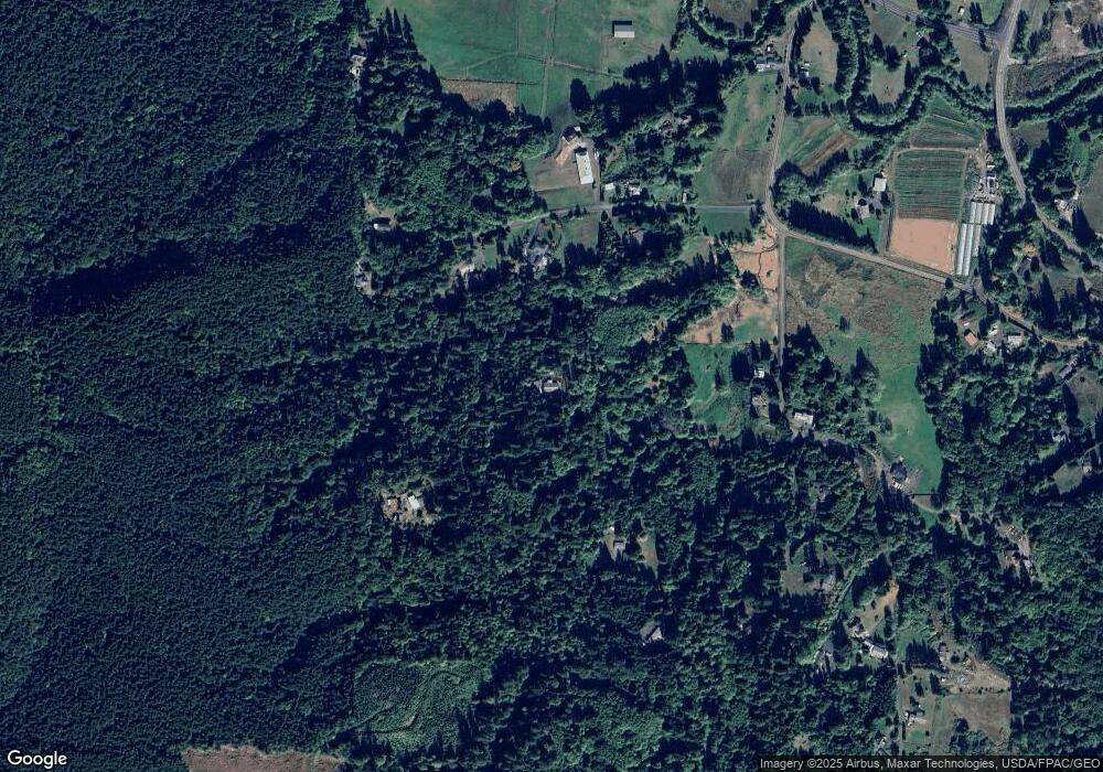
Map
Nearby Homes
- 6609 Westside Hwy
- 107 Guinevere Ct
- 642 5th Ave SW
- 1020 3rd Ave SW
- 546 4th Ave SW
- 410 Hicks Rd
- 237 C St SW
- 705 1st Ave SW
- 56 Shear St SW
- 1 D St SW
- 438 Front Ave SW
- 0 Huntington Ave S Unit NWM2336096
- 114 Cherry St NW
- 203 Roake Ave SE
- 385 Front Ave NW
- 411 Brierwood Ct SE
- 153 Green Acres Dr
- 3820 Westside Hwy
- 0 Pioneer Ave NE
- 611 Pioneer Ave NE
- 208 Timberwood Dr
- 176 Timberwood Dr
- 144 Timberwood Dr
- 0 LOT 7 Timberwood Dr
- 211 Timberwood Dr
- 0 XXX Timberwood Dr
- 162 Cherrington Rd
- 206 Cherrington Rd
- 202 White Rd
- 151 Timberwood Dr
- 232 Timberwood Dr
- 167 Timberwood Dr
- 231 Timberwood Dr
- 203 White Rd
- 151 Cherrington Rd
- 208 White Rd
- 215 Wren Loop Rd
- 209 White Rd
- 230 White Rd