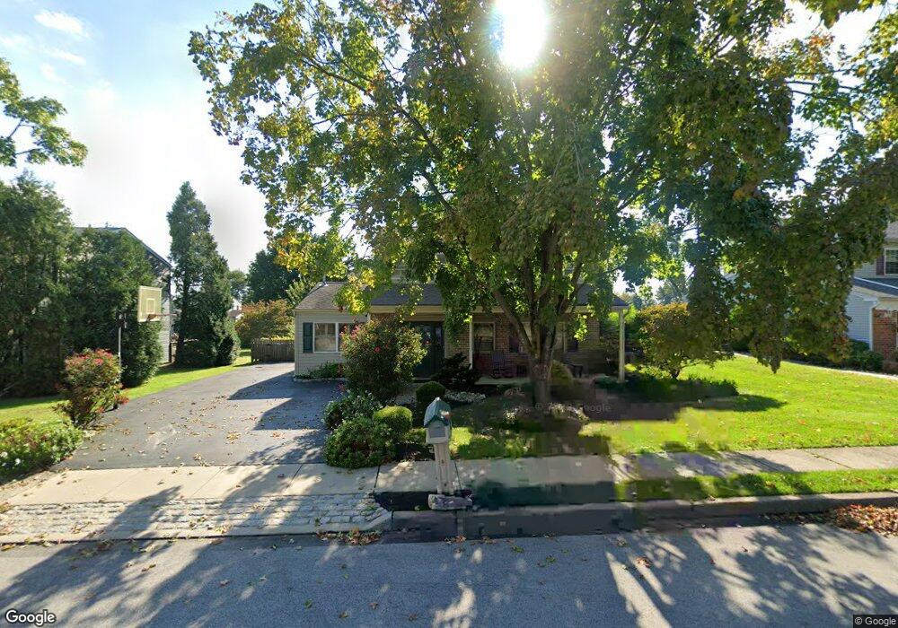
250 Emerson Dr Lafayette Hill, PA 19444
Estimated Value: $593,477 - $675,000
3
Beds
3
Baths
1,868
Sq Ft
$337/Sq Ft
Est. Value
About This Home
This home is located at 250 Emerson Dr, Lafayette Hill, PA 19444 and is currently estimated at $630,119, approximately $337 per square foot. 250 Emerson Dr is a home located in Montgomery County with nearby schools including Whitemarsh El School, Colonial Elementary School, and Colonial Middle School.
Ownership History
Date
Name
Owned For
Owner Type
Purchase Details
Closed on
Mar 10, 2018
Sold by
Glantz Matthew and Bevan Deborah Jean
Bought by
Bevan Deborah Jean
Current Estimated Value
Purchase Details
Closed on
Jul 21, 2005
Sold by
Gregan Lawrence J and Gregan Joan M
Bought by
Glantz Matthew and Glantz Deborah
Home Financials for this Owner
Home Financials are based on the most recent Mortgage that was taken out on this home.
Original Mortgage
$289,600
Interest Rate
5.63%
Mortgage Type
New Conventional
Create a Home Valuation Report for This Property
The Home Valuation Report is an in-depth analysis detailing your home's value as well as a comparison with similar homes in the area
Home Values in the Area
Average Home Value in this Area
Purchase History
| Date | Buyer | Sale Price | Title Company |
|---|---|---|---|
| Bevan Deborah Jean | -- | -- | |
| Glantz Matthew | $362,000 | -- |
Source: Public Records
Mortgage History
| Date | Status | Borrower | Loan Amount |
|---|---|---|---|
| Previous Owner | Glantz Matthew | $289,600 |
Source: Public Records
Tax History Compared to Growth
Tax History
| Year | Tax Paid | Tax Assessment Tax Assessment Total Assessment is a certain percentage of the fair market value that is determined by local assessors to be the total taxable value of land and additions on the property. | Land | Improvement |
|---|---|---|---|---|
| 2025 | $4,730 | $145,260 | -- | -- |
| 2024 | $4,730 | $145,260 | -- | -- |
| 2023 | $4,559 | $145,260 | $0 | $0 |
| 2022 | $4,455 | $145,260 | $0 | $0 |
| 2021 | $4,321 | $145,260 | $0 | $0 |
| 2020 | $4,163 | $145,260 | $0 | $0 |
| 2019 | $4,039 | $145,260 | $0 | $0 |
| 2018 | $1,096 | $145,260 | $0 | $0 |
| 2017 | $3,900 | $145,260 | $0 | $0 |
| 2016 | $3,843 | $145,260 | $0 | $0 |
| 2015 | $3,675 | $145,260 | $0 | $0 |
| 2014 | $3,675 | $145,260 | $0 | $0 |
Source: Public Records
Map
Nearby Homes
- 4133 Joshua Rd
- 357 Marianne Rd
- 4052 Center Ave
- 4040 N Warner Rd
- 4048 Friends Ln
- 117 Carriage Ct
- 25 E Germantown Pike
- 3018 Mathers Mill Rd
- 352 Stenton Ave
- 3059 Mitchell Ct
- 2622 Butler Pike
- 451 Ridge Pike
- 4109 Addison Ct
- 2134 Birch Dr
- 239 Birch Dr
- 4103 Laurel Dr
- 533 Evergreen Ln
- 6179 Creekside Dr
- 26 Cherry Ct
- 6150 Creekside Dr
- 248 Emerson Dr
- 252 Emerson Dr
- 246 Emerson Dr
- 4121 Franklin Way
- 254 Emerson Dr
- 247 Emerson Dr
- 249 Emerson Dr
- 245 Emerson Dr
- 244 Emerson Dr
- 4119 Franklin Way
- 251 Emerson Dr
- 243 Emerson Dr
- 4129 Franklin Way
- 242 Emerson Dr
- 250 Flourtown Rd
- 248 Flourtown Rd
- 300 Emerson Dr
- 241 Emerson Dr
- 252 Flourtown Rd
- 246 Flourtown Rd