250 Farmall Ln Hot Springs, VA 24445
Estimated Value: $307,000 - $691,874
3
Beds
3
Baths
2,760
Sq Ft
$181/Sq Ft
Est. Value
About This Home
This home is located at 250 Farmall Ln, Hot Springs, VA 24445 and is currently estimated at $499,437, approximately $180 per square foot. 250 Farmall Ln is a home located in Bath County with nearby schools including Bath County High School.
Ownership History
Date
Name
Owned For
Owner Type
Purchase Details
Closed on
Jun 17, 2025
Sold by
Fry Harold Lee
Bought by
Fry Harold Lee and Fry Linda Jean
Current Estimated Value
Purchase Details
Closed on
Mar 6, 2023
Sold by
Bath County Service Authority
Bought by
Fry Harold Lee
Purchase Details
Closed on
Jan 4, 2008
Sold by
Fry H Lee and Fry Carrol E
Bought by
Fry Harold Lee
Home Financials for this Owner
Home Financials are based on the most recent Mortgage that was taken out on this home.
Original Mortgage
$50,000
Interest Rate
6.02%
Mortgage Type
Credit Line Revolving
Create a Home Valuation Report for This Property
The Home Valuation Report is an in-depth analysis detailing your home's value as well as a comparison with similar homes in the area
Home Values in the Area
Average Home Value in this Area
Purchase History
| Date | Buyer | Sale Price | Title Company |
|---|---|---|---|
| Fry Harold Lee | -- | None Listed On Document | |
| Fry Harold Lee | -- | None Listed On Document | |
| Fry Harold Lee | -- | First American Title |
Source: Public Records
Mortgage History
| Date | Status | Borrower | Loan Amount |
|---|---|---|---|
| Previous Owner | Fry Harold Lee | $50,000 |
Source: Public Records
Tax History Compared to Growth
Tax History
| Year | Tax Paid | Tax Assessment Tax Assessment Total Assessment is a certain percentage of the fair market value that is determined by local assessors to be the total taxable value of land and additions on the property. | Land | Improvement |
|---|---|---|---|---|
| 2024 | $2,806 | $482,600 | $158,400 | $324,200 |
| 2023 | $2,806 | $482,600 | $158,400 | $324,200 |
| 2022 | $2,571 | $482,400 | $158,200 | $324,200 |
| 2021 | $2,093 | $391,600 | $132,300 | $259,300 |
| 2020 | $2,093 | $391,600 | $132,300 | $259,300 |
| 2019 | $1,903 | $391,600 | $132,300 | $259,300 |
| 2018 | $1,958 | $391,600 | $132,300 | $259,300 |
| 2017 | $1,958 | $391,600 | $132,300 | $259,300 |
| 2016 | -- | $435,000 | $155,200 | $279,800 |
| 2015 | -- | $0 | $0 | $0 |
| 2014 | -- | $0 | $0 | $0 |
| 2012 | -- | $0 | $0 | $0 |
Source: Public Records
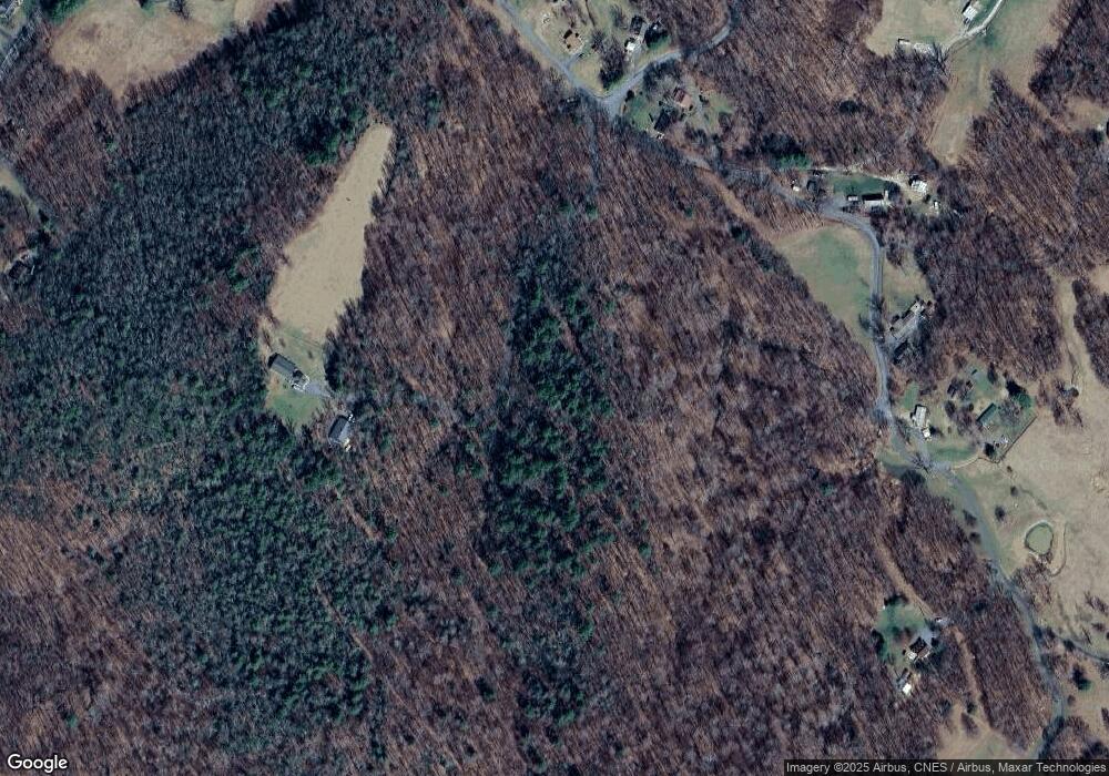
Map
Nearby Homes
- 95 Peery Hollow Rd
- 110 Mountain View Rd
- 0 Addison Patch Rd Unit LotWP001 22650260
- 0 Addison Patch Rd
- 1120 Sam Snead Hwy
- 2138 Sam Snead Hwy
- 2835 Airport Rd
- 0 Airport Rd Unit 2116781
- xx McGraw Gap Rd
- 419 Airport Dr
- 419 Airport Rd
- 8321 Jackson River Rd
- 65 Cubbley Rd
- 1972 Jackson River Turnpike
- 5446 Sam Snead Hwy
- 201 Forestry Rd
- 0 Coles Mountain Rd
- 45 Methodist Church Ln
- 144 Seven Ridges Rd
- 141 Seven Ridges Rd
- 1518 Sam Snead Hwy
- 1310 Sam Snead Hwy
- 1516 Sam Snead Hwy
- 1392 Sam Snead Hwy
- 245 Peery Hollow Rd
- 315 Peery Hollow Rd
- 1523 Sam Snead Hwy
- 1489 Sam Snead Hwy
- 1555 Sam Snead Hwy
- 1579 Sam Snead Hwy
- 1628 Sam Snead Hwy
- 197 Peery Hollow Rd
- 44 Mountain View Rd
- 44 Mountain View Rd
- 27 Mountain View Rd
- 139 Peery Hollow Rd
- 1260 Sam Snead Hwy
- 1645 Sam Snead Hwy
- 1754 Sam Snead Hwy
- 1291 Sam Snead Hwy Unit Route 220