250 Husson Ave Unit 1H Bangor, ME 04401
Estimated Value: $211,000 - $248,000
3
Beds
3
Baths
1,693
Sq Ft
$136/Sq Ft
Est. Value
About This Home
This home is located at 250 Husson Ave Unit 1H, Bangor, ME 04401 and is currently estimated at $230,188, approximately $135 per square foot. 250 Husson Ave Unit 1H is a home located in Penobscot County with nearby schools including Fruit Street School, Mary Snow School, and William S. Cohen School.
Ownership History
Date
Name
Owned For
Owner Type
Purchase Details
Closed on
Jan 13, 2011
Sold by
Corbett Terras I
Bought by
Okafor Benjamin C
Current Estimated Value
Home Financials for this Owner
Home Financials are based on the most recent Mortgage that was taken out on this home.
Original Mortgage
$11,000
Interest Rate
4.46%
Mortgage Type
Purchase Money Mortgage
Create a Home Valuation Report for This Property
The Home Valuation Report is an in-depth analysis detailing your home's value as well as a comparison with similar homes in the area
Home Values in the Area
Average Home Value in this Area
Purchase History
Date | Buyer | Sale Price | Title Company |
---|---|---|---|
Okafor Benjamin C | -- | -- |
Source: Public Records
Mortgage History
Date | Status | Borrower | Loan Amount |
---|---|---|---|
Closed | Okafor Benjamin C | $75,000 | |
Closed | Okafor Benjamin C | $50,000 | |
Closed | Okafor Benjamin C | $104,000 | |
Closed | Okafor Benjamin C | $11,000 |
Source: Public Records
Tax History Compared to Growth
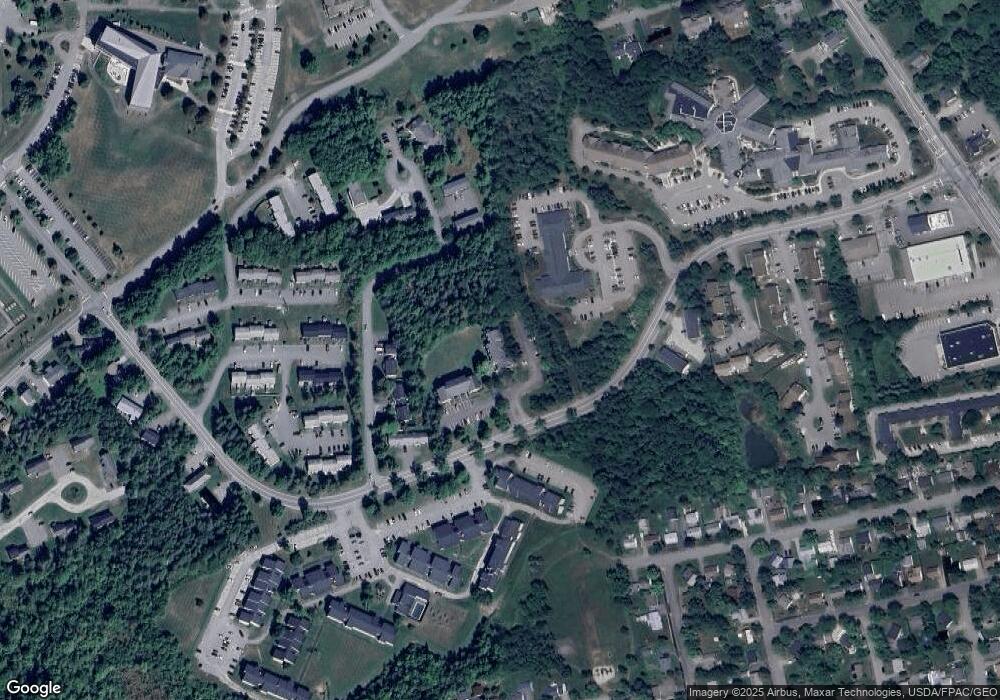
Tax History
Year | Tax Paid | Tax Assessment Tax Assessment Total Assessment is a certain percentage of the fair market value that is determined by local assessors to be the total taxable value of land and additions on the property. | Land | Improvement |
---|---|---|---|---|
2024 | $4,003 | $215,800 | $30,000 | $185,800 |
2023 | $2,895 | $151,200 | $12,800 | $138,400 |
2022 | $2,825 | $138,500 | $12,800 | $125,700 |
2021 | $2,814 | $126,200 | $11,800 | $114,400 |
2020 | $2,823 | $121,700 | $11,500 | $110,200 |
2019 | $2,751 | $119,600 | $11,500 | $108,100 |
2018 | $2,708 | $118,000 | $11,500 | $106,500 |
2017 | $2,614 | $115,900 | $11,500 | $104,400 |
2016 | $2,624 | $116,600 | $11,500 | $105,100 |
2015 | $2,586 | $117,800 | $11,500 | $106,300 |
2014 | $2,551 | $117,000 | $11,500 | $105,500 |
2013 | $2,317 | $111,400 | $11,500 | $99,900 |
Source: Public Records
Map
Nearby Homes
- 42 Blanchard St
- 840 Broadway
- 60 Jowett St
- 68 Laurel Cir
- 541 Kenduskeag Ave Unit A1
- 8 Sunbury Ave
- 10 Nash St
- 440 Kenduskeag Ave
- 649 Kenduskeag Ave
- 8 Orchard Hills Pkwy
- 10 Field St
- 135 Glenwood Dr
- 68 Baldwin Dr
- 55 Poplar St
- 80 Baldwin Dr
- 136 Lancaster Ave
- 37 Cortland Cir
- 57 Linden St
- 44 Cortland Cir
- 164 Dewitt Ave
- 250 Husson Ave Unit 1H
- 250 Husson Ave Unit 1G
- 250 Husson Ave Unit 1F
- 250 Husson Ave Unit 1E
- 250 Husson Ave Unit 1D
- 250 Husson Ave Unit 1C
- 250 Husson Ave Unit 1B
- 250 Husson Ave Unit 1A
- 250 Husson Ave Unit 250
- 238 Husson Ave Unit 2P
- 238 Husson Ave Unit 2N
- 238 Husson Ave Unit 2M
- 238 Husson Ave Unit 2L
- 238 Husson Ave Unit 2K
- 238 Husson Ave Unit 2J
- 238 Husson Ave Unit 2G
- 238 Husson Ave Unit 2F
- 238 Husson Ave Unit 2E
- 238 Husson Ave Unit 2D
- 238 Husson Ave Unit 2C