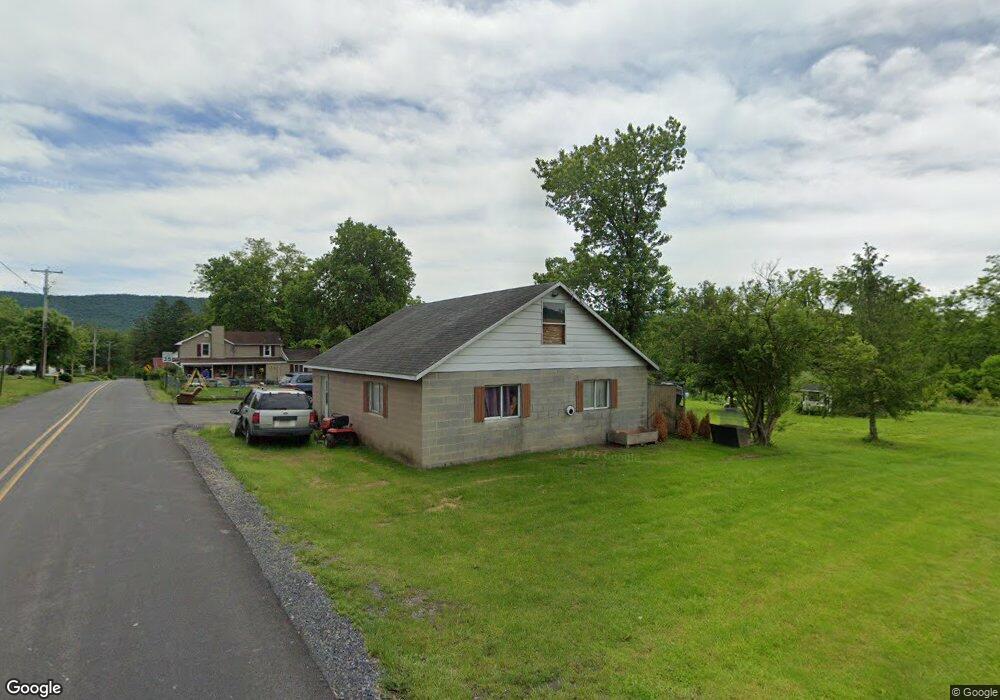
250 Loop Rd Lewistown, PA 17044
Estimated Value: $159,000 - $214,804
3
Beds
2
Baths
1,496
Sq Ft
$130/Sq Ft
Est. Value
About This Home
This home is located at 250 Loop Rd, Lewistown, PA 17044 and is currently estimated at $195,201, approximately $130 per square foot. 250 Loop Rd is a home located in Mifflin County with nearby schools including Strodes Mills Elementary School, Mifflin County Middle School, and Mifflin County Junior High School.
Ownership History
Date
Name
Owned For
Owner Type
Purchase Details
Closed on
Jul 12, 2016
Sold by
Ludington Mia I and Ludington Noah
Bought by
Pent Charles and Pent Doreen
Current Estimated Value
Home Financials for this Owner
Home Financials are based on the most recent Mortgage that was taken out on this home.
Original Mortgage
$73,115
Outstanding Balance
$33,104
Interest Rate
3.54%
Mortgage Type
Unknown
Estimated Equity
$162,097
Purchase Details
Closed on
Sep 30, 2003
Bought by
Ludington Mia I
Create a Home Valuation Report for This Property
The Home Valuation Report is an in-depth analysis detailing your home's value as well as a comparison with similar homes in the area
Home Values in the Area
Average Home Value in this Area
Purchase History
| Date | Buyer | Sale Price | Title Company |
|---|---|---|---|
| Pent Charles | $95,000 | None Available | |
| Ludington Mia I | $77,000 | -- |
Source: Public Records
Mortgage History
| Date | Status | Borrower | Loan Amount |
|---|---|---|---|
| Open | Pent Charles | $73,115 |
Source: Public Records
Tax History Compared to Growth
Tax History
| Year | Tax Paid | Tax Assessment Tax Assessment Total Assessment is a certain percentage of the fair market value that is determined by local assessors to be the total taxable value of land and additions on the property. | Land | Improvement |
|---|---|---|---|---|
| 2025 | $1,799 | $28,350 | $10,050 | $18,300 |
| 2024 | $1,799 | $28,350 | $10,050 | $18,300 |
| 2023 | $1,799 | $28,350 | $10,050 | $18,300 |
| 2022 | $1,742 | $28,350 | $10,050 | $18,300 |
| 2021 | $1,742 | $28,350 | $10,050 | $18,300 |
| 2020 | $1,742 | $28,350 | $10,050 | $18,300 |
| 2019 | $1,712 | $28,350 | $10,050 | $18,300 |
| 2018 | $1,719 | $28,350 | $10,050 | $18,300 |
| 2017 | $1,719 | $28,350 | $10,050 | $18,300 |
| 2016 | $1,669 | $28,350 | $10,050 | $18,300 |
| 2015 | -- | $28,350 | $10,050 | $18,300 |
| 2012 | -- | $28,350 | $10,050 | $18,300 |
Source: Public Records
Map
Nearby Homes
- 9487 Us Highway 522 S
- 65 Hillside Dr
- 67 Airport Hill Rd
- 1470 Middle Rd
- 18 Maple Ave
- 131 Snooks Hill Rd
- 4755 State Route 103 N
- 924 W 6th St
- 817 W 6th St
- 705-707 W 6th St
- 162 Birch Dr
- 78 Brannon Ln
- 622 W 5th St
- 616 W 5th St
- 620 W 6th St
- 1810 Lockport Rd
- 105 Grove Ave
- 41 Aspen Dr Unit 3
- 409 W 5th St
- Lot 1 Woods Ln