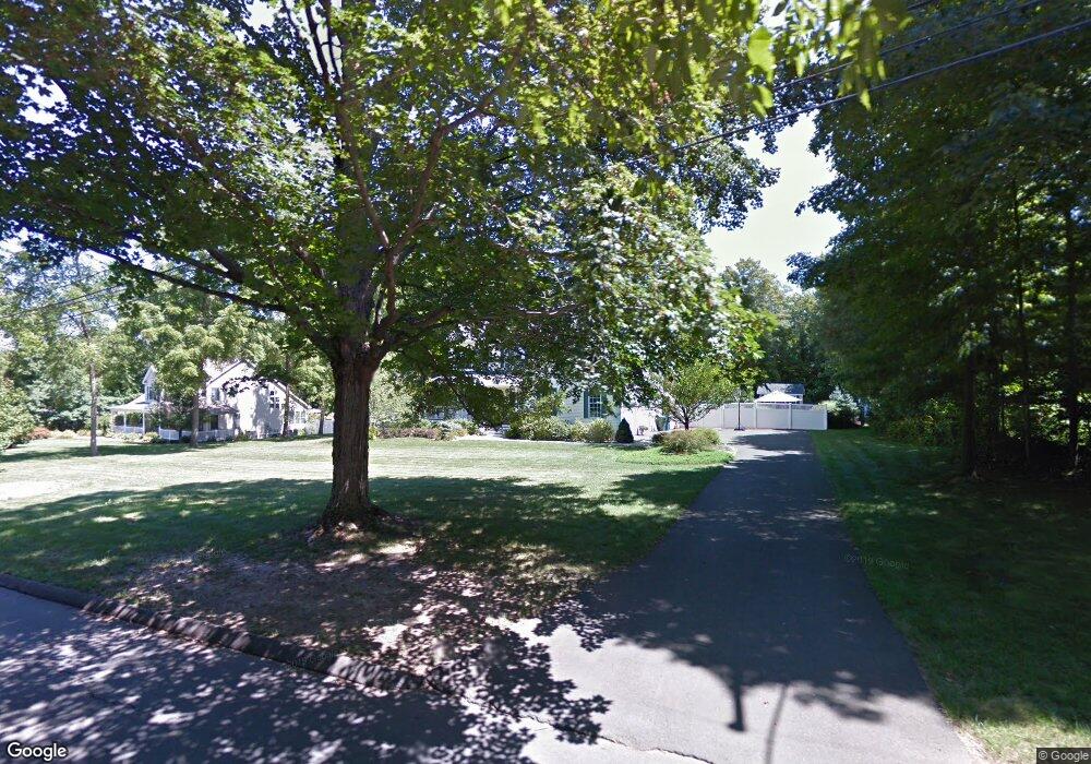
250 Maple Shade Rd Middletown, CT 06457
Estimated Value: $582,000 - $695,000
3
Beds
4
Baths
2,743
Sq Ft
$233/Sq Ft
Est. Value
About This Home
This home is located at 250 Maple Shade Rd, Middletown, CT 06457 and is currently estimated at $638,049, approximately $232 per square foot. 250 Maple Shade Rd is a home located in Middlesex County with nearby schools including Wesley School, St John Paul II School, and The Independent Day School.
Ownership History
Date
Name
Owned For
Owner Type
Purchase Details
Closed on
Mar 27, 2024
Sold by
Finkle Edward G and Finkle Mattea
Bought by
Finkle Edward G
Current Estimated Value
Purchase Details
Closed on
Apr 1, 1999
Sold by
Fazzino Anthony J and Fazzino Mario
Bought by
Finkle Edward G and Finkle Mattea
Create a Home Valuation Report for This Property
The Home Valuation Report is an in-depth analysis detailing your home's value as well as a comparison with similar homes in the area
Home Values in the Area
Average Home Value in this Area
Purchase History
| Date | Buyer | Sale Price | Title Company |
|---|---|---|---|
| Finkle Edward G | -- | None Available | |
| Finkle Edward G | -- | None Available | |
| Finkle Edward G | $235,000 | -- | |
| Finkle Edward G | $235,000 | -- |
Source: Public Records
Mortgage History
| Date | Status | Borrower | Loan Amount |
|---|---|---|---|
| Previous Owner | Finkle Edward G | $50,000 | |
| Previous Owner | Finkle Edward G | $209,500 | |
| Previous Owner | Finkle Edward G | $40,000 | |
| Previous Owner | Finkle Edward G | $184,300 |
Source: Public Records
Tax History Compared to Growth
Tax History
| Year | Tax Paid | Tax Assessment Tax Assessment Total Assessment is a certain percentage of the fair market value that is determined by local assessors to be the total taxable value of land and additions on the property. | Land | Improvement |
|---|---|---|---|---|
| 2025 | $13,560 | $366,380 | $65,560 | $300,820 |
| 2024 | $12,974 | $366,380 | $65,560 | $300,820 |
| 2023 | $12,314 | $366,380 | $65,560 | $300,820 |
| 2022 | $11,727 | $284,260 | $48,560 | $235,700 |
| 2021 | $11,675 | $284,260 | $48,560 | $235,700 |
| 2020 | $11,656 | $284,260 | $48,560 | $235,700 |
| 2019 | $11,712 | $284,260 | $48,560 | $235,700 |
| 2018 | $11,309 | $284,260 | $48,560 | $235,700 |
| 2017 | $10,488 | $271,140 | $57,440 | $213,700 |
| 2016 | $10,278 | $271,140 | $57,440 | $213,700 |
| 2015 | $10,051 | $271,140 | $57,440 | $213,700 |
| 2014 | $10,041 | $271,140 | $57,440 | $213,700 |
Source: Public Records
Map
Nearby Homes
- Lot 3 Coleman Rd
- 0 Arbutus St Unit 24065180
- Lot 2 Coleman Rd
- 491 Long Hill Rd
- 347 Farm Hill Rd
- 44 Trailside Crossing
- 30 Orange Rd Unit 30
- 55 Lorelei Cir
- 498 Pine St
- 120 Scenic View Dr
- 10 Lorelei Cir
- 50 Garfield Ave
- 17 Mckenna Dr
- 77 Lindsey Rd
- 66 Durant Terrace
- 73 Durant St
- 58 Durant Terrace
- 18 Talcott Ridge Dr
- 1 Russell St Unit 15
- 1 Russell St Unit 11
- 236 Maple Shade Rd
- 264 Maple Shade Rd
- 83 Cranberry Ln
- 93 Cranberry Ln
- 73 Cranberry Ln
- 63 Cranberry Ln
- 280 Maple Shade Rd
- 103 Cranberry Ln
- 37 Cranberry Ln
- 210 Maple Shade Rd
- 53 Cranberry Ln
- 80 Cranberry Ln
- 43 Cranberry Ln
- 113 Cranberry Ln
- 294 Maple Shade Rd
- 35 Cranberry Ln
- 66 Cranberry Ln
- 56 Cranberry Ln
- 25 Cranberry Ln
- 275 Maple Shade Rd