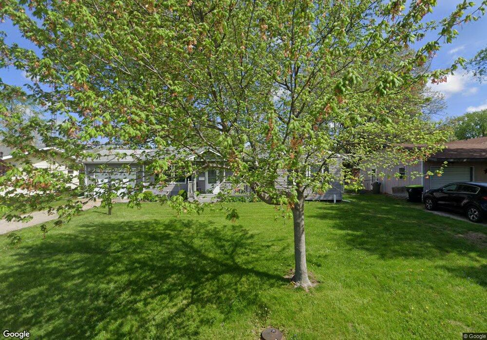
250 Mayfair Dr Lincoln, IL 62656
Estimated Value: $137,293 - $168,000
3
Beds
1
Bath
1,140
Sq Ft
$129/Sq Ft
Est. Value
About This Home
This home is located at 250 Mayfair Dr, Lincoln, IL 62656 and is currently estimated at $146,823, approximately $128 per square foot. 250 Mayfair Dr is a home located in Logan County with nearby schools including Washington-Monroe Elementary School, Adams Elementary School, and Lincoln Junior High School.
Ownership History
Date
Name
Owned For
Owner Type
Purchase Details
Closed on
May 14, 2025
Sold by
Awe Nancy Jo
Bought by
Awe Trust
Current Estimated Value
Purchase Details
Closed on
Jan 27, 2025
Sold by
Hankins Stephen J
Bought by
Hankins Trust
Purchase Details
Closed on
Apr 11, 2011
Sold by
Deutsche Bank National Trust Company
Bought by
Hankins Steve
Purchase Details
Closed on
Feb 3, 2011
Sold by
Sheriff Of Logan County
Bought by
Deutsche Bank National Trust Company
Create a Home Valuation Report for This Property
The Home Valuation Report is an in-depth analysis detailing your home's value as well as a comparison with similar homes in the area
Home Values in the Area
Average Home Value in this Area
Purchase History
| Date | Buyer | Sale Price | Title Company |
|---|---|---|---|
| Awe Trust | -- | None Available | |
| Hankins Trust | -- | None Available | |
| Hankins Steve | $29,000 | -- | |
| Deutsche Bank National Trust Company | -- | -- |
Source: Public Records
Tax History Compared to Growth
Tax History
| Year | Tax Paid | Tax Assessment Tax Assessment Total Assessment is a certain percentage of the fair market value that is determined by local assessors to be the total taxable value of land and additions on the property. | Land | Improvement |
|---|---|---|---|---|
| 2024 | $2,081 | $28,700 | $9,150 | $19,550 |
| 2023 | $1,945 | $26,570 | $8,470 | $18,100 |
| 2022 | $1,859 | $24,840 | $7,920 | $16,920 |
| 2021 | $2,360 | $23,840 | $7,600 | $16,240 |
| 2020 | $1,735 | $23,490 | $7,490 | $16,000 |
| 2019 | $1,687 | $23,030 | $7,340 | $15,690 |
| 2018 | $1,662 | $22,580 | $7,200 | $15,380 |
| 2017 | $1,653 | $22,580 | $7,200 | $15,380 |
| 2016 | $1,609 | $22,550 | $7,190 | $15,360 |
| 2015 | $1,353 | $20,050 | $6,950 | $13,100 |
| 2014 | $1,353 | $20,050 | $6,950 | $13,100 |
| 2013 | $1,353 | $19,030 | $6,600 | $12,430 |
| 2012 | $1,353 | $19,370 | $6,720 | $12,650 |
Source: Public Records
Map
Nearby Homes
- 145 Half Moon St
- 180 Regent St
- 102 Crestwood Dr
- 103 Crestwood Dr
- 1503 N Kankakee St
- 1019 N Mclean St
- 1208 N Kankakee St
- 1431 N Ottawa St
- 1204 N Ottawa St
- 1107 N Kankakee St
- 1354 Airport Rd
- 311 Davenport St
- 2294 Railsplitter Ave
- 2354 Railsplitter Ave
- 915 Peoria St
- 6 Meadow Ln
- 1624 Delavan St
- 620 Tremont St
- 1225 Delavan St
- 1227 Delavan St
- 240 Mayfair Dr
- 260 Mayfair Dr
- 230 Mayfair Dr
- 270 Mayfair Dr
- 165 Southgate St
- 255 Mayfair Dr
- 115 Bond St
- 265 Mayfair Dr
- 245 Mayfair Dr
- 155 Southgate St
- 175 Southgate St
- 125 Bond St
- 220 Mayfair Dr
- 275 Mayfair Dr
- 185 Southgate St
- 235 Mayfair Dr
- 285 Mayfair Dr
- 225 Mayfair Dr
- 280 Mayfair Dr
- 210 Mayfair Dr