Estimated Value: $314,000 - $487,000
Studio
--
Bath
1,176
Sq Ft
$341/Sq Ft
Est. Value
About This Home
This home is located at 250 New Bridge Rd, Acton, ME 04001 and is currently estimated at $401,391, approximately $341 per square foot. 250 New Bridge Rd is a home with nearby schools including Acton Elementary School.
Ownership History
Date
Name
Owned For
Owner Type
Purchase Details
Closed on
Feb 26, 2025
Sold by
Stevens Patrick H
Bought by
Stevens Patrick H
Current Estimated Value
Purchase Details
Closed on
Jul 12, 2013
Sold by
Stevens Richard H
Bought by
Lavery Jon and Lavery Angela
Create a Home Valuation Report for This Property
The Home Valuation Report is an in-depth analysis detailing your home's value as well as a comparison with similar homes in the area
Home Values in the Area
Average Home Value in this Area
Purchase History
| Date | Buyer | Sale Price | Title Company |
|---|---|---|---|
| Stevens Patrick H | -- | None Available | |
| Stevens Patrick H | -- | None Available | |
| Stevens Patrick H | -- | None Available | |
| Stevens Patrick H | -- | None Available | |
| Lavery Jon | -- | -- | |
| Lavery Jon | -- | -- |
Source: Public Records
Mortgage History
| Date | Status | Borrower | Loan Amount |
|---|---|---|---|
| Previous Owner | Lavery Jon | $40,000 |
Source: Public Records
Tax History
| Year | Tax Paid | Tax Assessment Tax Assessment Total Assessment is a certain percentage of the fair market value that is determined by local assessors to be the total taxable value of land and additions on the property. | Land | Improvement |
|---|---|---|---|---|
| 2025 | $2,141 | $297,010 | $142,950 | $154,060 |
| 2024 | $2,100 | $297,010 | $142,950 | $154,060 |
| 2023 | $1,916 | $297,010 | $142,950 | $154,060 |
| 2022 | $1,897 | $158,731 | $58,363 | $100,368 |
| 2021 | $1,897 | $158,731 | $58,363 | $100,368 |
| 2020 | $1,913 | $158,731 | $58,363 | $100,368 |
| 2019 | $1,913 | $158,731 | $58,363 | $100,368 |
| 2018 | $1,913 | $158,731 | $58,363 | $100,368 |
| 2017 | $1,889 | $158,731 | $58,363 | $100,368 |
| 2016 | $1,786 | $158,731 | $58,363 | $100,368 |
| 2015 | $1,833 | $158,731 | $58,363 | $100,368 |
| 2014 | $1,762 | $158,731 | $58,363 | $100,368 |
Source: Public Records
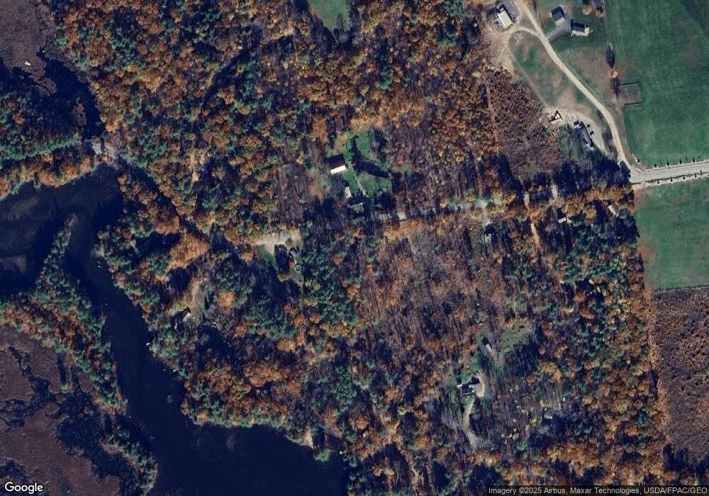
Map
Nearby Homes
- 163 Buzzell Rd
- Lot 13 Ridge Way
- Lot 11 Ridge Way
- 271 Red Gate Ln
- 2620 Maine 109
- 319 Asbury Ln
- 00 Racoon Rd
- 394 Raccoon Rd
- 97 Daniel Dr
- TBD Hopper
- 2106 Wakefield Rd
- Lot 4 Scribner Hill Extension
- 182 Hopper Rd
- 1656 Province Lake Rd Unit lot 1
- 189 Hopper Rd
- 29 Concord Ln
- 227 Meadow St
- Lots 30 + 18 Thornhill Rd
- Lot 5 St Laurent Way
- 202 Rines Rd
- 931 Youngs Ridge Rd
- 926 Youngs Ridge Rd
- 961 Youngs Ridge Rd
- 406 New Bridge Rd
- 881 Youngs Ridge Rd
- 168 Mountain View Dr
- 1499 Canal Rd
- 171 Mountain View Dr
- 1514 Canal Rd
- 523 New Bridge Rd
- 523 Newbridge Rd
- 851 Youngs Ridge Rd
- 135 Mountain View Dr
- 134 Mountain View Dr
- 11 Hams Camp Rd
- 384 New Bridge Rd
- 387 New Bridge Rd
- 25 Hams Camp Rd Unit Lot 25 & 3
- 117 Mountain View Dr
- 375 New Bridge Rd
Your Personal Tour Guide
Ask me questions while you tour the home.