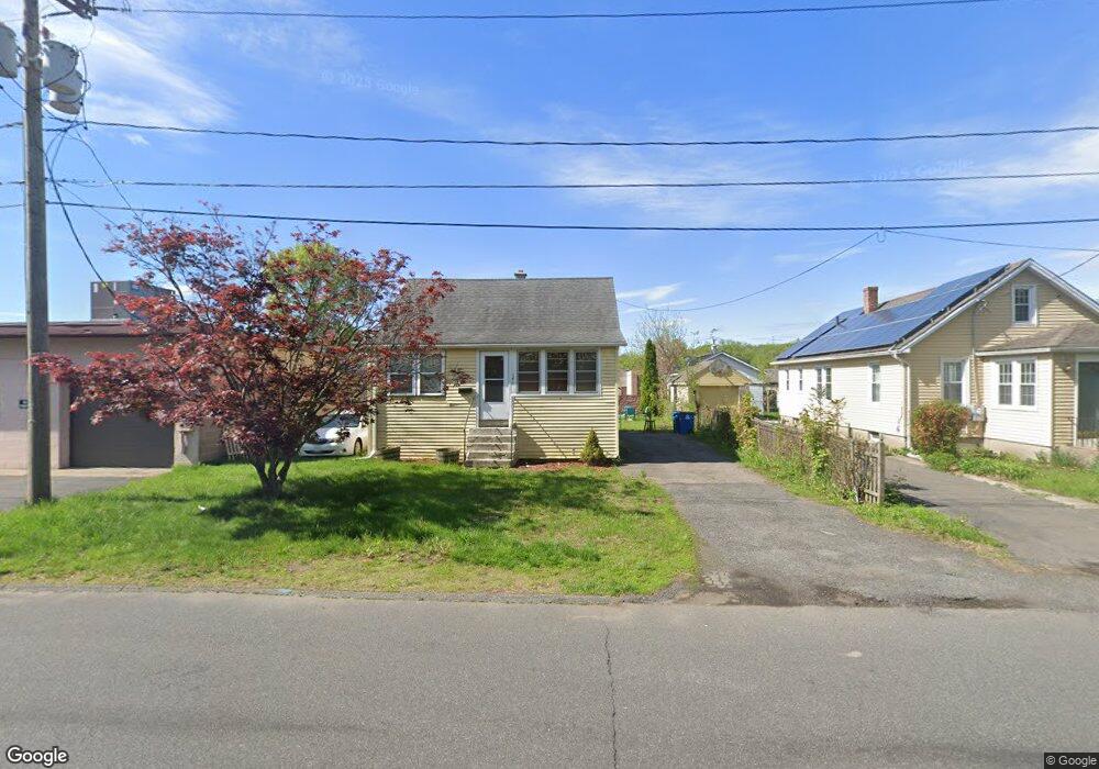
250 Norman St West Springfield, MA 01089
Estimated Value: $221,000 - $270,000
3
Beds
1
Bath
917
Sq Ft
$268/Sq Ft
Est. Value
About This Home
This home is located at 250 Norman St, West Springfield, MA 01089 and is currently estimated at $245,339, approximately $267 per square foot. 250 Norman St is a home located in Hampden County with nearby schools including West Springfield High School, Hampden Charter School of Science West, and St Thomas The Apostle School.
Ownership History
Date
Name
Owned For
Owner Type
Purchase Details
Closed on
Mar 17, 2010
Sold by
Laflamme Madeline L
Bought by
Champigny Richard J and Champigny Laflamme-Champigny M
Current Estimated Value
Home Financials for this Owner
Home Financials are based on the most recent Mortgage that was taken out on this home.
Original Mortgage
$70,000
Outstanding Balance
$46,557
Interest Rate
5.05%
Mortgage Type
Purchase Money Mortgage
Estimated Equity
$198,782
Purchase Details
Closed on
Feb 1, 2007
Sold by
Laflamme Leo R
Bought by
Laflamme Leo R and Laflamme Madeline L
Create a Home Valuation Report for This Property
The Home Valuation Report is an in-depth analysis detailing your home's value as well as a comparison with similar homes in the area
Home Values in the Area
Average Home Value in this Area
Purchase History
| Date | Buyer | Sale Price | Title Company |
|---|---|---|---|
| Champigny Richard J | $100,000 | -- | |
| Laflamme Leo R | -- | -- |
Source: Public Records
Mortgage History
| Date | Status | Borrower | Loan Amount |
|---|---|---|---|
| Open | Champigny Richard J | $70,000 |
Source: Public Records
Tax History Compared to Growth
Tax History
| Year | Tax Paid | Tax Assessment Tax Assessment Total Assessment is a certain percentage of the fair market value that is determined by local assessors to be the total taxable value of land and additions on the property. | Land | Improvement |
|---|---|---|---|---|
| 2025 | $2,688 | $180,800 | $84,900 | $95,900 |
| 2024 | $2,667 | $180,100 | $84,900 | $95,200 |
| 2023 | $2,490 | $160,200 | $84,900 | $75,300 |
| 2022 | $2,263 | $143,600 | $77,000 | $66,600 |
| 2021 | $1,986 | $117,500 | $61,300 | $56,200 |
| 2020 | $1,995 | $117,400 | $61,300 | $56,100 |
| 2019 | $1,991 | $117,400 | $61,300 | $56,100 |
| 2018 | $2,002 | $117,400 | $61,300 | $56,100 |
| 2017 | $2,002 | $117,400 | $61,300 | $56,100 |
| 2016 | $1,993 | $117,300 | $58,900 | $58,400 |
| 2015 | $2,076 | $122,200 | $57,800 | $64,400 |
| 2014 | $502 | $122,200 | $57,800 | $64,400 |
Source: Public Records
Map
Nearby Homes
- 369 Cold Spring Ave
- Lot 10 Ahiska Rd
- 32 Colony Rd Unit 1
- 31 Colony Rd
- 56 Exposition Terrace
- 44 Spring St
- 21 High St
- 120 Hampden St
- 67 Suffield St
- 27 Park Avenue Ct Unit 8
- 55 Bliss St
- 51 Reed St
- 95 Park Ave Unit 1
- 92 Grove St
- 44 Spring St
- 30 Chestnut St
- 53 Druids Ln
- 278 Elm St
- 37 Day St
- 138 Suffield St