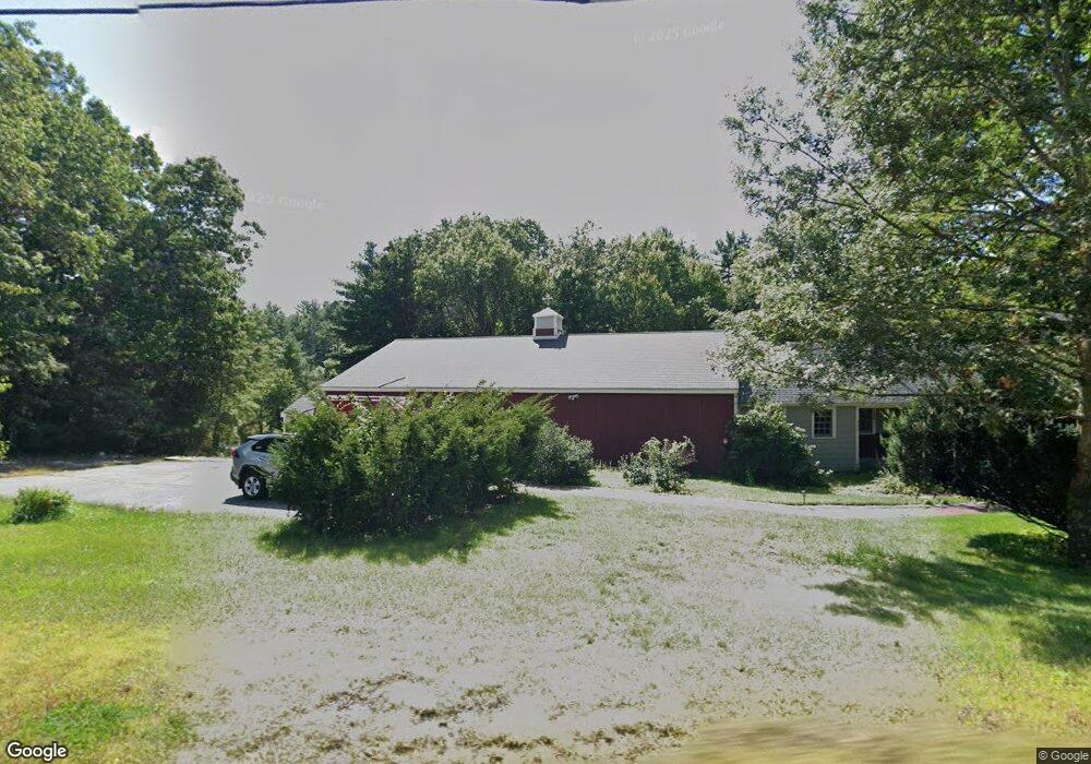
250 Pleasant St Dunstable, MA 01827
Estimated Value: $693,129 - $860,000
4
Beds
2
Baths
2,929
Sq Ft
$268/Sq Ft
Est. Value
About This Home
This home is located at 250 Pleasant St, Dunstable, MA 01827 and is currently estimated at $785,282, approximately $268 per square foot. 250 Pleasant St is a home located in Middlesex County with nearby schools including Groton Dunstable Regional High School.
Ownership History
Date
Name
Owned For
Owner Type
Purchase Details
Closed on
May 10, 2023
Sold by
B & Michelle Flynn Lt
Bought by
Brian J Flynn Lt
Current Estimated Value
Purchase Details
Closed on
Mar 27, 2014
Sold by
Flynn Brian J and Flynn Michelle M
Bought by
Brian and Brian Michelle Flynn
Create a Home Valuation Report for This Property
The Home Valuation Report is an in-depth analysis detailing your home's value as well as a comparison with similar homes in the area
Home Values in the Area
Average Home Value in this Area
Purchase History
| Date | Buyer | Sale Price | Title Company |
|---|---|---|---|
| Brian J Flynn Lt | -- | None Available | |
| Brian | -- | -- |
Source: Public Records
Tax History Compared to Growth
Tax History
| Year | Tax Paid | Tax Assessment Tax Assessment Total Assessment is a certain percentage of the fair market value that is determined by local assessors to be the total taxable value of land and additions on the property. | Land | Improvement |
|---|---|---|---|---|
| 2025 | $8,150 | $592,700 | $212,200 | $380,500 |
| 2024 | $8,848 | $633,800 | $195,800 | $438,000 |
| 2023 | $9,019 | $602,500 | $195,800 | $406,700 |
| 2022 | $8,935 | $585,900 | $195,800 | $390,100 |
| 2021 | $8,479 | $516,700 | $179,500 | $337,200 |
| 2020 | $6,842 | $503,200 | $179,500 | $323,700 |
| 2019 | $8,300 | $486,500 | $179,500 | $307,000 |
| 2018 | $7,826 | $446,200 | $179,500 | $266,700 |
| 2017 | $7,536 | $442,800 | $179,500 | $263,300 |
| 2016 | $6,883 | $415,900 | $171,300 | $244,600 |
| 2015 | $6,861 | $410,100 | $143,600 | $266,500 |
| 2014 | $6,347 | $402,500 | $143,600 | $258,900 |
Source: Public Records
Map
Nearby Homes
- 14 Cross St
- 46 Oak St
- 153 Off Pond St
- 32 Bear Hill Rd
- 8 Jamie Rd
- 0 Lowell St
- 120 1/2 Lowell Rd
- 2 Wildflower Ln
- 5 Doucet Ave
- 3 Doucet Ave Unit The Cub
- 1 Doucet Ave
- 67 Wilderness Dr Unit The Cub
- 63 Wilderness Dr Unit Derby 2
- 46 Wilderness Dr
- 58 Wilderness Dr
- 452 River St
- 2 Wilderness Dr
- 1 Wilderness Dr
- 50 Wilderness Dr
- 7 Wilderness Dr
- 243 Pleasant St
- 253 Pleasant St
- 262 Pleasant St
- 41 Groton St
- 44 Groton St
- 274 Pleasant St
- 257 Pleasant St
- 233 Pleasant St
- 0 Groton St (Next 337)
- 0 Groton St (Next 377)
- 275 Pleasant St
- 47 Groton St
- 59 Groton St
- 284 Pleasant St
- 58 Groton St
- 285 Pleasant St
- 223 Pleasant St
- 69 Groton St
- 0LOT3 Groton St
- 0LOT2 Groton St