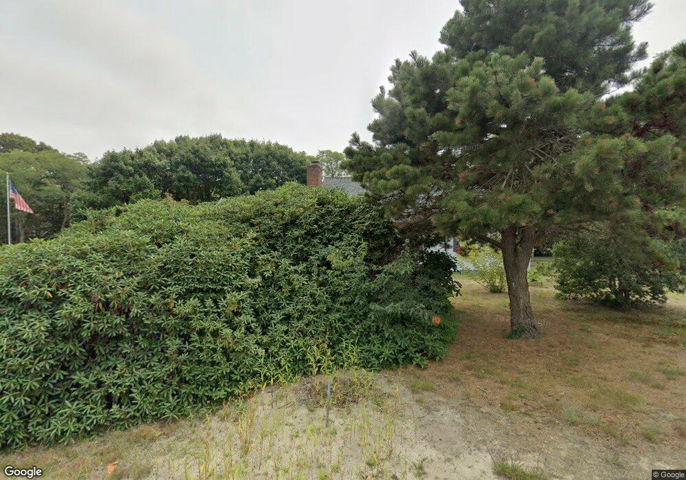
250 Quail Cover Ln Eastham, MA 02642
Estimated Value: $661,193 - $709,000
2
Beds
1
Bath
1,222
Sq Ft
$559/Sq Ft
Est. Value
About This Home
This home is located at 250 Quail Cover Ln, Eastham, MA 02642 and is currently estimated at $683,298, approximately $559 per square foot. 250 Quail Cover Ln is a home located in Barnstable County with nearby schools including Eastham Elementary School, Nauset Regional Middle School, and Nauset Regional High School.
Ownership History
Date
Name
Owned For
Owner Type
Purchase Details
Closed on
Aug 14, 2015
Sold by
Marguerite H Bremner T
Bought by
Grace Kevin
Current Estimated Value
Purchase Details
Closed on
Jul 20, 2015
Sold by
Bremner Marguerite H E
Bought by
Marguerite H Bremner T
Purchase Details
Closed on
Aug 26, 2014
Sold by
Bremner Robert M and Bremner Marguerite H
Bought by
Bremner Marguerite H
Purchase Details
Closed on
Feb 13, 1969
Bought by
Grace Kevin
Create a Home Valuation Report for This Property
The Home Valuation Report is an in-depth analysis detailing your home's value as well as a comparison with similar homes in the area
Home Values in the Area
Average Home Value in this Area
Purchase History
| Date | Buyer | Sale Price | Title Company |
|---|---|---|---|
| Grace Kevin | -- | -- | |
| Marguerite H Bremner T | -- | -- | |
| Bremner Marguerite H | -- | -- | |
| Grace Kevin | -- | -- |
Source: Public Records
Tax History Compared to Growth
Tax History
| Year | Tax Paid | Tax Assessment Tax Assessment Total Assessment is a certain percentage of the fair market value that is determined by local assessors to be the total taxable value of land and additions on the property. | Land | Improvement |
|---|---|---|---|---|
| 2025 | $4,505 | $584,300 | $266,700 | $317,600 |
| 2024 | $3,977 | $567,300 | $258,900 | $308,400 |
| 2023 | $3,657 | $505,100 | $239,700 | $265,400 |
| 2022 | $3,454 | $402,600 | $214,000 | $188,600 |
| 2021 | $3,358 | $365,800 | $194,500 | $171,300 |
| 2020 | $3,128 | $358,700 | $198,600 | $160,100 |
| 2019 | $2,892 | $350,600 | $192,800 | $157,800 |
| 2018 | $2,862 | $342,700 | $187,200 | $155,500 |
| 2017 | $2,671 | $338,100 | $183,500 | $154,600 |
| 2016 | $2,306 | $310,000 | $156,000 | $154,000 |
| 2015 | $2,162 | $304,500 | $152,900 | $151,600 |
Source: Public Records
Map
Nearby Homes
- 5 Striper Ave
- 95 Toland Dr
- 160 Toland Dr
- 125 Wamsutta Rd
- 5470 State Hwy
- 495 Aspinet Rd
- 100 Gigi Ln
- 1460 Massasoit Rd
- 1285 Massasoit Rd
- 140 Harvest Rd
- 25 Massasoit Trail
- 11 Whelpley Rd
- 115 Sparrowhawk Ln
- 230 Massasoit Trail
- 675 N Sunken Meadow Rd
- 176 Village Ln
- 35 Old County Rd Unit 1
- 210 West Rd Unit B9
- 210 West Rd Unit M-16
- 60 Turnip Field Rd
- 35 Leeward Way
- 230 Quail Cover Ln
- 255 Quail Cover Ln
- 190 Aspinet Rd
- 60 Leeward Way
- 30 Leeward Way
- 235 Quail Cover Ln
- 20 N Sunken Meadow Rd
- 90 Leeward Way
- 210 Quail Cover Ln
- 115 Leeward Way
- 165 Aspinet Rd
- 35 Wilson Ave
- 195 Aspinet Rd
- 205 Quail Cover Ln
- 120 Aspinet Rd
- 40 N Sunken Meadow Rd
- 65 Wilson Ave
- 135 Aspinet Rd
- 120 Leeward Way