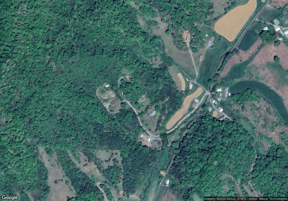
250 Ray Dr Mars Hill, NC 28754
Estimated Value: $440,302 - $541,000
Studio
1
Bath
1,620
Sq Ft
$303/Sq Ft
Est. Value
About This Home
This home is located at 250 Ray Dr, Mars Hill, NC 28754 and is currently estimated at $490,326, approximately $302 per square foot. 250 Ray Dr is a home with nearby schools including Madison Middle School.
Ownership History
Date
Name
Owned For
Owner Type
Purchase Details
Closed on
Nov 12, 2013
Sold by
Fannie Mae
Bought by
Lance Stephen Matthew Jay and Lance Kathryn Sandra
Current Estimated Value
Home Financials for this Owner
Home Financials are based on the most recent Mortgage that was taken out on this home.
Original Mortgage
$143,571
Interest Rate
4.29%
Mortgage Type
New Conventional
Purchase Details
Closed on
Oct 7, 2013
Sold by
Lunsford Roger B and Lunsford Latisha J
Bought by
Federal National Mortgage Association
Home Financials for this Owner
Home Financials are based on the most recent Mortgage that was taken out on this home.
Original Mortgage
$143,571
Interest Rate
4.29%
Mortgage Type
New Conventional
Purchase Details
Closed on
Jul 20, 2000
Bought by
Lance, Stephen Matthew Jay And Wife
Create a Home Valuation Report for This Property
The Home Valuation Report is an in-depth analysis detailing your home's value as well as a comparison with similar homes in the area
Home Values in the Area
Average Home Value in this Area
Purchase History
| Date | Buyer | Sale Price | Title Company |
|---|---|---|---|
| Lance Stephen Matthew Jay | -- | None Available | |
| Federal National Mortgage Association | $136,998 | None Available | |
| Lance, Stephen Matthew Jay And Wife | $6,500 | -- |
Source: Public Records
Mortgage History
| Date | Status | Borrower | Loan Amount |
|---|---|---|---|
| Previous Owner | Lance Stephen Matthew Jay | $143,571 |
Source: Public Records
Tax History
| Year | Tax Paid | Tax Assessment Tax Assessment Total Assessment is a certain percentage of the fair market value that is determined by local assessors to be the total taxable value of land and additions on the property. | Land | Improvement |
|---|---|---|---|---|
| 2024 | $1,940 | $391,037 | $44,029 | $347,008 |
| 2023 | $1,269 | $215,057 | $27,973 | $187,084 |
| 2022 | $1,269 | $215,057 | $27,973 | $187,084 |
| 2021 | $1,269 | $215,057 | $27,973 | $187,084 |
| 2020 | $1,269 | $215,057 | $27,973 | $187,084 |
| 2019 | $1,007 | $157,344 | $26,806 | $130,538 |
| 2018 | $960 | $0 | $0 | $0 |
| 2017 | $960 | $0 | $0 | $0 |
| 2016 | $960 | $0 | $0 | $0 |
| 2015 | -- | $0 | $0 | $0 |
| 2014 | -- | $157,344 | $26,806 | $130,538 |
| 2013 | -- | $157,344 | $26,806 | $130,538 |
Source: Public Records
Map
Nearby Homes
- E- 19 Red Wolf Run None
- 404 Amanda Dr
- 999 Red Wolf Run Unit 48
- E-18 & 17 Red Wolf Run None
- E- 17 Red Wolf Run None
- E- 15 Red Wolf Run None
- #10 & 44 Poplar Path
- E- 13 Red Wolf Run None
- Multiple lots Red Wolf Run None
- E- 8 Red Wolf Run None
- E- 6 Red Wolf Run None
- E- 18 Red Wolf Run None
- 48 Patriot Place Unit 37
- 00 Red Wolf Run None Unit 39
- 821 Crooked Creek Rd
- E- 7 Red Wolf Run
- Lot 15 Red Wolf Run Unit 15
- 00 Little Pond Pass Unit Lot 33
- 1 Pearl Way
- 55 Red Wolf Run
- 206 Ray Dr
- 333 Ray Dr
- 253 Ray Dr
- 253 Ray Dr Unit 7 & 8
- 145 Ray Dr
- 363 Ray Dr
- 5056 Paint Fork Rd
- 5056 Paint Fork Rd
- 4876 Paint Fork Rd
- 00 Rocky Ln
- 35 Cardinal Ln
- 90 Cardinal Ln
- 4698 Paint Fork Rd
- 9999 Paint Fork Rd
- 5272 Paint Fork Rd
- 4674 Paint Fork Rd
- 4796 Paint Fork Rd
- 523 Clyde Brown Rd
- 147 Ray Dr
- 166 Rocky Ln
