250 Running Deer Path Acworth, GA 30101
Cedarcrest NeighborhoodEstimated Value: $516,000 - $599,328
--
Bed
3
Baths
2,382
Sq Ft
$237/Sq Ft
Est. Value
About This Home
This home is located at 250 Running Deer Path, Acworth, GA 30101 and is currently estimated at $565,332, approximately $237 per square foot. 250 Running Deer Path is a home located in Paulding County with nearby schools including Floyd L. Shelton Elementary School at Crossroad, Sammy Mcclure Sr. Middle School, and North Paulding High School.
Ownership History
Date
Name
Owned For
Owner Type
Purchase Details
Closed on
Jan 15, 2004
Sold by
Scott Kenneth and Scott Angela R
Bought by
Russell Anderson L
Current Estimated Value
Home Financials for this Owner
Home Financials are based on the most recent Mortgage that was taken out on this home.
Original Mortgage
$186,000
Outstanding Balance
$86,683
Interest Rate
5.85%
Mortgage Type
New Conventional
Estimated Equity
$478,649
Create a Home Valuation Report for This Property
The Home Valuation Report is an in-depth analysis detailing your home's value as well as a comparison with similar homes in the area
Home Values in the Area
Average Home Value in this Area
Purchase History
| Date | Buyer | Sale Price | Title Company |
|---|---|---|---|
| Russell Anderson L | $269,900 | -- |
Source: Public Records
Mortgage History
| Date | Status | Borrower | Loan Amount |
|---|---|---|---|
| Open | Russell Anderson L | $186,000 |
Source: Public Records
Tax History Compared to Growth
Tax History
| Year | Tax Paid | Tax Assessment Tax Assessment Total Assessment is a certain percentage of the fair market value that is determined by local assessors to be the total taxable value of land and additions on the property. | Land | Improvement |
|---|---|---|---|---|
| 2024 | $5,053 | $206,380 | $62,560 | $143,820 |
| 2023 | $5,149 | $200,020 | $61,040 | $138,980 |
| 2022 | $4,539 | $175,992 | $49,080 | $126,912 |
| 2021 | $3,949 | $137,756 | $41,520 | $96,236 |
| 2020 | $3,719 | $127,056 | $41,520 | $85,536 |
| 2019 | $3,583 | $120,792 | $39,520 | $81,272 |
| 2018 | $3,117 | $105,332 | $31,040 | $74,292 |
| 2017 | $2,955 | $98,588 | $29,760 | $68,828 |
| 2016 | $2,457 | $83,136 | $27,960 | $55,176 |
| 2015 | $2,354 | $78,352 | $27,160 | $51,192 |
| 2014 | $2,189 | $71,208 | $24,560 | $46,648 |
| 2013 | -- | $67,040 | $26,800 | $40,240 |
Source: Public Records
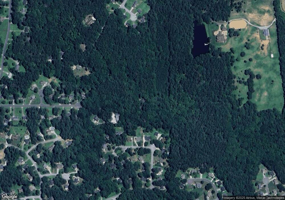
Map
Nearby Homes
- 3684 Autumn View Dr NW
- 39 Telfair Ct
- 64 Telfair Ct
- 254 Broadstone Blvd
- 138 Highcrest Dr
- 28 Vandiver Ct
- 71 Vandiver Ct
- 261 Highcrest Dr
- 427 Picketts Lake Dr
- 6206 Cedarcrest Rd NW
- 954 Carl Sanders Dr
- 6205 Arnall Ct NW
- 3465 Plantation Ridge NW
- 6335 Howell Cobb Ct
- 6323 Howell Cobb Ct
- 1022 Carl Sanders Dr
- 300 Carl Sanders Dr
- 681 Carl Sanders Dr
- 342 Picketts Mill Run
- 330 Picketts Mill Run Unit VI
- 310 Picketts Mill Run
- 310 Picketts Mill Run Unit VI
- 354 Picketts Mill Run
- 376 Picketts Mill Run
- 2 Willowbrook Ct
- 306 Picketts Mill Run
- 390 Picketts Mill Run
- 1 Willowbrook Ct
- 302 Picketts Mill Run
- 271 Picketts Mill Run
- 430 Picketts Mill Run
- 6 Willowbrook Ct
- 398 Picketts Mill Run
- 268 Picketts Mill Run
- 9 Willowbrook Ct
- 420 Picketts Mill Run Unit 6
- 249 Pickett's Mill Run
- 249 Picketts Mill Run