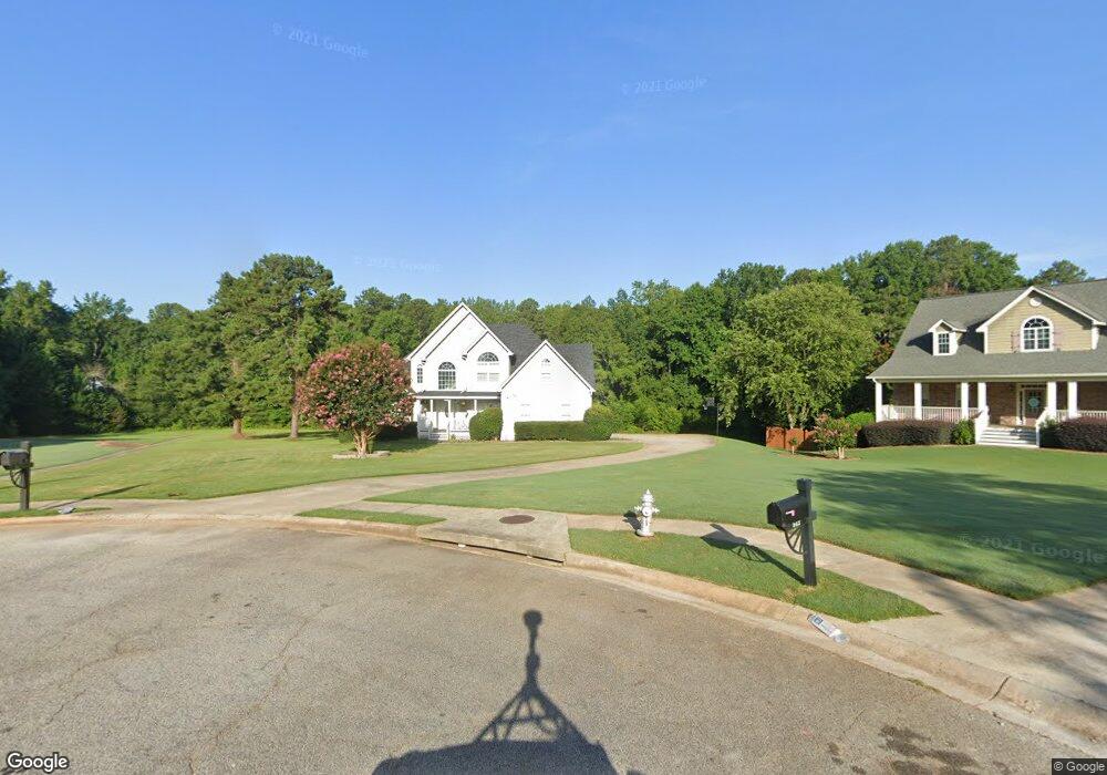
250 S Fork Rd Unit 26 Tyrone, GA 30290
Estimated Value: $615,000 - $708,000
About This Home
This home is located at 250 S Fork Rd Unit 26, Tyrone, GA 30290 and is currently estimated at $655,283, approximately $152 per square foot. 250 S Fork Rd Unit 26 is a home located in Fayette County with nearby schools including Crabapple Lane Elementary School, Flat Rock Middle School, and Sandy Creek High School.
Ownership History
We collect this data history from publicly available records. To have your information removed, we recommend requesting removal directly through your county’s website.
Purchase Details
Home Financials for this Owner
Home Financials are based on the most recent Mortgage that was taken out on this home.Purchase Details
Home Financials for this Owner
Home Financials are based on the most recent Mortgage that was taken out on this home.Purchase Details
Home Financials for this Owner
Home Financials are based on the most recent Mortgage that was taken out on this home.Purchase Details
Home Financials for this Owner
Home Financials are based on the most recent Mortgage that was taken out on this home.Purchase Details
Home Financials for this Owner
Home Financials are based on the most recent Mortgage that was taken out on this home.Home Values in the Area
Average Home Value in this Area
Purchase History
We collect this data history from publicly available records. To have your information removed, we recommend requesting removal directly through your county’s website.
| Date | Buyer | Sale Price | Title Company |
|---|---|---|---|
| -- | -- | ||
| $335,000 | -- | ||
| -- | -- | ||
| $193,500 | -- | ||
| $255,000 | -- | ||
| $43,900 | -- |
Mortgage History
We collect this data history from publicly available records. To have your information removed, we recommend requesting removal directly through your county’s website.
| Date | Status | Borrower | Loan Amount |
|---|---|---|---|
| Open | $342,202 | ||
| Closed | $342,202 | ||
| Previous Owner | $224,867 | ||
| Previous Owner | $188,594 | ||
| Previous Owner | $229,500 | ||
| Previous Owner | $177,675 |
Tax History
We collect this data history from publicly available records. To have your information removed, we recommend requesting removal directly through your county’s website.
| Year | Tax Paid | Tax Assessment Tax Assessment Total Assessment is a certain percentage of the fair market value that is determined by local assessors to be the total taxable value of land and additions on the property. | Land | Improvement |
|---|---|---|---|---|
| 2025 | $5,494 | $246,156 | $34,240 | $211,916 |
| 2024 | $5,350 | $230,052 | $32,000 | $198,052 |
| 2023 | $4,715 | $206,640 | $32,000 | $174,640 |
| 2022 | $4,918 | $191,080 | $32,000 | $159,080 |
| 2021 | $4,714 | $175,120 | $18,000 | $157,120 |
| 2020 | $4,845 | $157,640 | $18,000 | $139,640 |
| 2019 | $4,702 | $151,600 | $18,000 | $133,600 |
| 2018 | $4,191 | $134,000 | $16,840 | $117,160 |
| 2017 | $4,993 | $156,120 | $18,000 | $138,120 |
| 2016 | $4,339 | $132,920 | $18,000 | $114,920 |
| 2015 | $4,076 | $122,800 | $18,000 | $104,800 |
| 2014 | $3,520 | $104,200 | $18,000 | $86,200 |
| 2013 | -- | $102,320 | $0 | $0 |
Map
- 160 Kylemore Pass
- 100 Clydesdale Ct
- 115 Strandhill Rd
- 200 Chaparral Trace
- 2080 Castle Lake Dr
- 105 Laurel Forest Dr
- 535 Laurelwood Dr
- 135 Crimson Ridge
- 110 Beresford Rd
- 230 Ridge Rd
- 26 Parlor Cir
- 599 Mcdade St
- 300 Briarwood Rd
- 137 Kenmare Row
- 1.00 Briarwood Rd
- 101 Line Creek Way
- 30 Citron Ct
- 100 London Berry Ct
- 113 Kenmare Row
- 135 London Berry Ct
- 250 S Fork Rd
- 250 South Fork Rd
- 240 South Fork Rd
- 245 South Fork Rd
- 230 South Fork Rd
- 230 S Fork Rd
- 235 S Fork Rd
- 235 South Fork Rd
- 215 Strandhill Rd
- 220 Strandhill Rd
- 220 Standhill Rd
- 220 South Fork Rd
- 215 Drumcliff Ct
- 220 S Fork Rd Unit 29
- 220 S Fork Rd
- 225 S Fork Rd
- 225 South Fork Rd
- 205 Drumcliff Ct
- 210 S Fork Rd
- 210 South Fork Rd
Ask me questions while you tour the home.