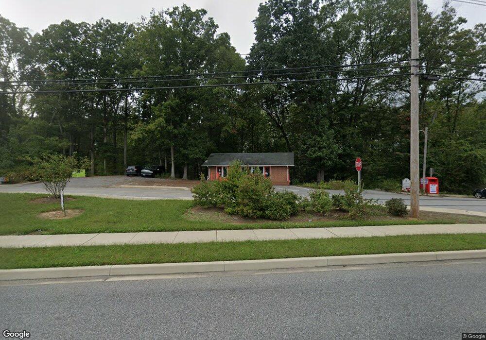
250 Solomons Island Rd N Prince Frederick, MD 20678
Estimated Value: $703,438
--
Bed
--
Bath
1,400
Sq Ft
$502/Sq Ft
Est. Value
About This Home
This home is located at 250 Solomons Island Rd N, Prince Frederick, MD 20678 and is currently estimated at $703,438, approximately $502 per square foot. 250 Solomons Island Rd N is a home located in Calvert County with nearby schools including Barstow Elementary School, Calvert Middle School, and Calvert High School.
Ownership History
Date
Name
Owned For
Owner Type
Purchase Details
Closed on
Oct 24, 2016
Sold by
Gibson Gail S
Bought by
Handrick Patrick J and Handrick Marcia H
Current Estimated Value
Home Financials for this Owner
Home Financials are based on the most recent Mortgage that was taken out on this home.
Original Mortgage
$560,000
Outstanding Balance
$411,545
Interest Rate
3.48%
Mortgage Type
Commercial
Estimated Equity
$291,893
Create a Home Valuation Report for This Property
The Home Valuation Report is an in-depth analysis detailing your home's value as well as a comparison with similar homes in the area
Home Values in the Area
Average Home Value in this Area
Purchase History
| Date | Buyer | Sale Price | Title Company |
|---|---|---|---|
| Handrick Patrick J | $700,000 | Titlemax Llc |
Source: Public Records
Mortgage History
| Date | Status | Borrower | Loan Amount |
|---|---|---|---|
| Open | Handrick Patrick J | $560,000 |
Source: Public Records
Tax History Compared to Growth
Tax History
| Year | Tax Paid | Tax Assessment Tax Assessment Total Assessment is a certain percentage of the fair market value that is determined by local assessors to be the total taxable value of land and additions on the property. | Land | Improvement |
|---|---|---|---|---|
| 2025 | $7,578 | $695,400 | $0 | $0 |
| 2024 | $7,578 | $687,800 | $392,000 | $295,800 |
| 2023 | $6,692 | $629,233 | $0 | $0 |
| 2022 | $6,080 | $570,667 | $0 | $0 |
| 2021 | $12,160 | $512,100 | $392,000 | $120,100 |
| 2020 | $5,491 | $512,100 | $392,000 | $120,100 |
| 2019 | $5,372 | $512,100 | $392,000 | $120,100 |
| 2018 | $5,648 | $538,400 | $392,000 | $146,400 |
| 2017 | $6,378 | $588,100 | $0 | $0 |
| 2016 | -- | $587,900 | $0 | $0 |
| 2015 | $6,317 | $587,700 | $0 | $0 |
| 2014 | $6,317 | $587,700 | $0 | $0 |
Source: Public Records
Map
Nearby Homes
- The Benedict B2 Plan at Patuxent Commons
- The Benedict A Plan at Patuxent Commons
- The Benedict C Plan at Patuxent Commons
- 0 Armory Rd
- 31 Gray Inn Ct
- 395 Cambridge Place
- 419 Cambridge Place
- 444 English Oak Ln
- 49 Thoroughbred Dr
- 500 Falcon Place
- 512 Falcon Place
- 447 Dark Star Way
- 139 Thoroughbred Dr
- 1795 Hallowing Point Rd
- 103 Westlake Blvd
- 360 Whirlaway Dr
- 408 Westlake Blvd
- 85 Mason Rd
- 100 Mason Rd
- 240 Mason Rd
- 300 Solomons Island Rd N
- 1 Main St
- 220 Solomons Island Rd N
- 55 Commerce Ln
- 200 W Dares Beach Rd
- 410 W Dares Beach Rd
- 80 W Dares Beach Rd
- 155 Central Square Dr
- 141 Central Square Dr
- 137 Central Square Dr
- 137 Central Square Dr Unit 155, 141, 151
- 135 Central Square Dr
- 60 Commerce Ln
- 80 Central Square Dr
- 170 Solomons Island Rd N
- 350 Solomons Island Rd N
- 30 Heritage Blvd
- 60 Main St
- 60 Central Square Dr
- 90 Central Square Dr