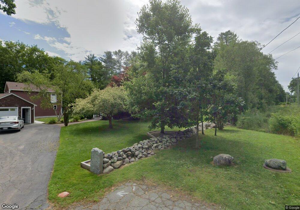
250 Stetson St Whitman, MA 02382
Estimated Value: $506,000 - $584,000
3
Beds
2
Baths
1,668
Sq Ft
$319/Sq Ft
Est. Value
About This Home
This home is located at 250 Stetson St, Whitman, MA 02382 and is currently estimated at $532,307, approximately $319 per square foot. 250 Stetson St is a home located in Plymouth County with nearby schools including St Bridget School.
Ownership History
Date
Name
Owned For
Owner Type
Purchase Details
Closed on
Apr 19, 2022
Sold by
Smith Dennis F and Smith Terri A
Bought by
Smith Ft
Current Estimated Value
Create a Home Valuation Report for This Property
The Home Valuation Report is an in-depth analysis detailing your home's value as well as a comparison with similar homes in the area
Home Values in the Area
Average Home Value in this Area
Purchase History
| Date | Buyer | Sale Price | Title Company |
|---|---|---|---|
| Smith Ft | -- | None Available |
Source: Public Records
Tax History Compared to Growth
Tax History
| Year | Tax Paid | Tax Assessment Tax Assessment Total Assessment is a certain percentage of the fair market value that is determined by local assessors to be the total taxable value of land and additions on the property. | Land | Improvement |
|---|---|---|---|---|
| 2025 | $4,723 | $360,000 | $209,100 | $150,900 |
| 2024 | $5,175 | $406,200 | $198,400 | $207,800 |
| 2023 | $5,405 | $398,300 | $189,800 | $208,500 |
| 2022 | $5,284 | $362,900 | $172,900 | $190,000 |
| 2021 | $5,199 | $335,400 | $162,200 | $173,200 |
| 2020 | $4,988 | $314,700 | $151,500 | $163,200 |
| 2019 | $4,666 | $303,400 | $151,500 | $151,900 |
| 2018 | $4,173 | $274,300 | $136,600 | $137,700 |
| 2017 | $4,136 | $274,300 | $136,600 | $137,700 |
| 2016 | $3,996 | $256,300 | $135,500 | $120,800 |
| 2015 | $4,001 | $256,300 | $135,500 | $120,800 |
Source: Public Records
Map
Nearby Homes
- 22 Old Coach Rd
- 20 Elm Place
- 48 Day St
- 159 Auburn St
- 154 Auburn St
- 150 Harvard St
- 532 Washington St
- 110 South Ave Unit 14
- 110 South Ave
- 53 Temple St
- 101 Washington St Unit 4
- 35 Dana St
- 135-137 Temple St
- 214 Winter St
- 23 Reed Place
- Plan B Northville Village Unit Plan B
- Unit 12 Northville Village Unit 12
- Unit 11 Northville Village Unit 11
- Plan A Northville Village Unit Plan A
- Plan A Northville Village
- 238 Stetson St
- 237 Stetson St
- 6 Constitution Cir
- 5 Freedom Ln
- 4 Constitution Cir
- 226 Stetson St
- 20 Old Colony Way
- 225 Stetson St
- 18 Old Colony Way
- 22 Old Colony Way
- 222 Stetson St
- 3 Freedom Ln
- 10 Patriot Ln
- 2 Constitution Cir
- 214 Stetson St
- 221 Stetson St
- 5 Constitution Cir
- 40 Railroad Ave
- 44 Railroad Ave
- 210 Stetson St