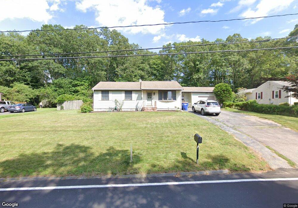
250 Tickle Rd Westport, MA 02790
North Westport NeighborhoodEstimated Value: $390,000 - $509,000
3
Beds
--
Bath
1,048
Sq Ft
$429/Sq Ft
Est. Value
About This Home
This home is located at 250 Tickle Rd, Westport, MA 02790 and is currently estimated at $449,593, approximately $429 per square foot. 250 Tickle Rd is a home located in Bristol County with nearby schools including Alice A. Macomber Primary School, Westport Elementary School, and Westport Middle-High School.
Ownership History
Date
Name
Owned For
Owner Type
Purchase Details
Closed on
Feb 26, 2021
Sold by
Pavao Caroline B and Smith Sharon M
Bought by
Smith Brianne
Current Estimated Value
Home Financials for this Owner
Home Financials are based on the most recent Mortgage that was taken out on this home.
Original Mortgage
$260,000
Outstanding Balance
$233,072
Interest Rate
2.7%
Mortgage Type
Purchase Money Mortgage
Estimated Equity
$216,521
Create a Home Valuation Report for This Property
The Home Valuation Report is an in-depth analysis detailing your home's value as well as a comparison with similar homes in the area
Home Values in the Area
Average Home Value in this Area
Purchase History
| Date | Buyer | Sale Price | Title Company |
|---|---|---|---|
| Smith Brianne | $320,000 | None Available |
Source: Public Records
Mortgage History
| Date | Status | Borrower | Loan Amount |
|---|---|---|---|
| Open | Smith Brianne | $260,000 |
Source: Public Records
Tax History Compared to Growth
Tax History
| Year | Tax Paid | Tax Assessment Tax Assessment Total Assessment is a certain percentage of the fair market value that is determined by local assessors to be the total taxable value of land and additions on the property. | Land | Improvement |
|---|---|---|---|---|
| 2025 | $2,700 | $362,400 | $175,900 | $186,500 |
| 2024 | $2,682 | $346,900 | $162,900 | $184,000 |
| 2023 | $2,544 | $311,800 | $142,800 | $169,000 |
| 2022 | $2,287 | $278,300 | $142,800 | $135,500 |
| 2021 | $2,287 | $265,300 | $129,800 | $135,500 |
| 2020 | $2,193 | $260,100 | $124,600 | $135,500 |
| 2019 | $2,013 | $243,400 | $108,400 | $135,000 |
| 2018 | $1,987 | $243,200 | $116,600 | $126,600 |
| 2017 | $1,908 | $239,400 | $116,600 | $122,800 |
| 2016 | $1,803 | $228,000 | $116,600 | $111,400 |
| 2015 | $1,718 | $216,600 | $116,600 | $100,000 |
Source: Public Records
Map
Nearby Homes
- 51 Newton St
- 219 Tickle Rd
- 0 Tickle Rd Unit 73453134
- 100 Cory's Ln
- 33 Moniz Dr
- 100 Corys Ln
- 47 Devol Ave
- 40 Robert St
- 75 Montgomery St
- 218 American Legion Hwy
- 14 Glendale Ave
- 1125 Stafford Rd Unit 5
- 771 Sanford Rd
- 8 Campion Ave
- 71 Blackbird St
- 0 Crandall Rd
- 9 Blackbird St
- 47 Robert St
- 447 Stafford Rd Unit E7
- 447 Stafford Rd Unit E4