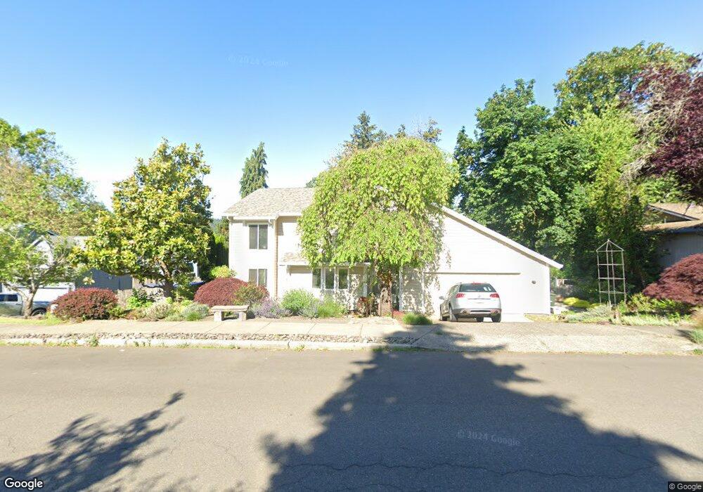
2500 Debok Rd West Linn, OR 97068
Willamette NeighborhoodEstimated Value: $661,000 - $694,000
4
Beds
3
Baths
2,088
Sq Ft
$321/Sq Ft
Est. Value
About This Home
This home is located at 2500 Debok Rd, West Linn, OR 97068 and is currently estimated at $671,160, approximately $321 per square foot. 2500 Debok Rd is a home located in Clackamas County with nearby schools including Willamette Primary School, Athey Creek Middle School, and West Linn High School.
Ownership History
Date
Name
Owned For
Owner Type
Purchase Details
Closed on
May 28, 2020
Sold by
Hansen Paula S
Bought by
Hansen Paula Sue and Hansen Family Trust
Current Estimated Value
Purchase Details
Closed on
Jun 25, 2015
Sold by
Franklin Blair and Franklin Julie S
Bought by
Hansen Paula S
Purchase Details
Closed on
Aug 3, 2005
Sold by
Dippold Eric R and Dippold Joyce M
Bought by
Franklin Blair and Franklin Julie S
Home Financials for this Owner
Home Financials are based on the most recent Mortgage that was taken out on this home.
Original Mortgage
$240,000
Interest Rate
5.46%
Mortgage Type
Fannie Mae Freddie Mac
Create a Home Valuation Report for This Property
The Home Valuation Report is an in-depth analysis detailing your home's value as well as a comparison with similar homes in the area
Home Values in the Area
Average Home Value in this Area
Purchase History
| Date | Buyer | Sale Price | Title Company |
|---|---|---|---|
| Hansen Paula Sue | -- | None Available | |
| Hansen Paula S | $387,500 | Ticor Title | |
| Franklin Blair | $319,900 | Fidelity Natl Title Co Of Or |
Source: Public Records
Mortgage History
| Date | Status | Borrower | Loan Amount |
|---|---|---|---|
| Previous Owner | Franklin Blair | $240,000 |
Source: Public Records
Tax History
| Year | Tax Paid | Tax Assessment Tax Assessment Total Assessment is a certain percentage of the fair market value that is determined by local assessors to be the total taxable value of land and additions on the property. | Land | Improvement |
|---|---|---|---|---|
| 2025 | $6,269 | $325,276 | -- | -- |
| 2024 | $6,034 | $315,802 | -- | -- |
| 2023 | $6,034 | $306,604 | -- | -- |
| 2022 | $5,695 | $297,674 | $0 | $0 |
| 2021 | $5,406 | $289,004 | $0 | $0 |
| 2020 | $5,443 | $280,587 | $0 | $0 |
| 2019 | $5,191 | $272,415 | $0 | $0 |
| 2018 | $4,959 | $264,481 | $0 | $0 |
| 2017 | $4,766 | $256,778 | $0 | $0 |
| 2016 | $4,643 | $249,299 | $0 | $0 |
| 2015 | $4,476 | $242,038 | $0 | $0 |
| 2014 | -- | $234,988 | $0 | $0 |
Source: Public Records
Map
Nearby Homes
- 2445 Debok Rd
- 2420 Margery St
- 1640 Village Park Place
- 1620 Village Park Place
- 2050 Alpine Dr
- 3135 Summerlinn Dr Unit 40
- 640 Springtree Ln
- 6840 Summerlinn Way Unit 93
- 6795 Summerlinn Way Unit 90
- 6535 Summerlinn Way Unit 81
- 850 Springtree Ln Unit 850
- 22998 Bland Cir
- 22994 Bland Cir
- 3850 Summerlinn Dr Unit 58
- 3870 Summerlinn Dr Unit 60
- 975 Springtree Ln
- 2134 Eleanor Rd
- 4335 Summerlinn Dr
- 23000 Bland Cir
- 4650 Summerlinn Way
Your Personal Tour Guide
Ask me questions while you tour the home.