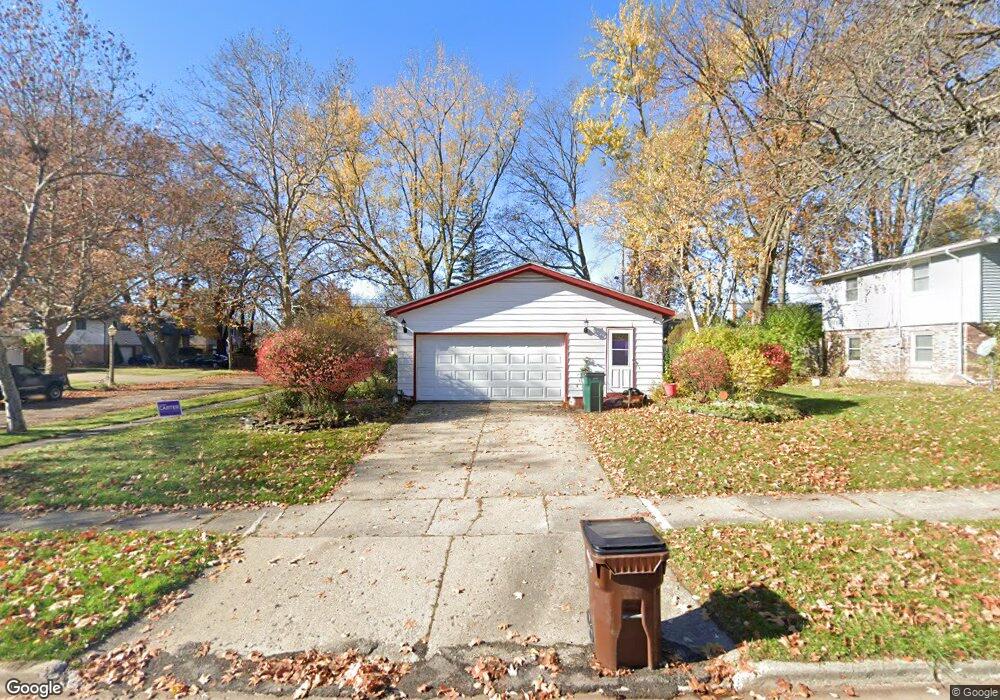
2500 Hanover Dr Lansing, MI 48911
Lewton Rich NeighborhoodEstimated Value: $237,000 - $250,000
3
Beds
3
Baths
1,772
Sq Ft
$139/Sq Ft
Est. Value
About This Home
This home is located at 2500 Hanover Dr, Lansing, MI 48911 and is currently estimated at $245,636, approximately $138 per square foot. 2500 Hanover Dr is a home located in Ingham County with nearby schools including Averill Elementary School, Attwood School, and J.W. Sexton High School.
Ownership History
Date
Name
Owned For
Owner Type
Purchase Details
Closed on
Jan 8, 2024
Sold by
Boles David M and Boles Flora M
Bought by
David M Boles And Flora M Boles Living Trust and Boles
Current Estimated Value
Create a Home Valuation Report for This Property
The Home Valuation Report is an in-depth analysis detailing your home's value as well as a comparison with similar homes in the area
Home Values in the Area
Average Home Value in this Area
Purchase History
| Date | Buyer | Sale Price | Title Company |
|---|---|---|---|
| David M Boles And Flora M Boles Living Trust | -- | None Listed On Document |
Source: Public Records
Tax History
| Year | Tax Paid | Tax Assessment Tax Assessment Total Assessment is a certain percentage of the fair market value that is determined by local assessors to be the total taxable value of land and additions on the property. | Land | Improvement |
|---|---|---|---|---|
| 2025 | $4,028 | $118,200 | $15,000 | $103,200 |
| 2024 | $32 | $106,000 | $15,000 | $91,000 |
| 2023 | $3,775 | $93,100 | $15,000 | $78,100 |
| 2022 | $3,400 | $81,700 | $13,000 | $68,700 |
| 2021 | $3,329 | $75,400 | $12,000 | $63,400 |
| 2020 | $3,309 | $72,400 | $12,000 | $60,400 |
| 2019 | $3,174 | $65,400 | $12,000 | $53,400 |
| 2018 | $2,972 | $59,500 | $12,000 | $47,500 |
| 2017 | $2,846 | $59,500 | $12,000 | $47,500 |
| 2016 | $2,722 | $52,200 | $12,000 | $40,200 |
| 2015 | $2,722 | $49,700 | $24,000 | $25,700 |
| 2014 | $2,722 | $48,800 | $24,000 | $24,800 |
Source: Public Records
Map
Nearby Homes
- 2200 Rossiter Place
- 2924 Woodview Dr
- 2505 Fairfax Rd
- 2409 Victor Ave
- 1533 Cambridge Rd
- 3000 Westchester Rd
- 3215 S Cambridge Rd
- 2500 Skye Rd
- 1740 Wellington Rd Unit 103
- 3508 Muirfield Dr
- 3425 Cooley Dr
- 3125 Boston Blvd
- 3601 Muirfield Dr
- 3522 Saint Andrews Cir Unit 33
- 1618 Loraine Ave
- 3612 Muirfield Dr Unit 5
- 1341 Cambridge Rd
- 1517 Lenore Ave
- 2838 Sunderland Rd
- 3211 S Deerfield Ave
- 2606 Hanover Dr
- 2117 Edwin Place
- 2110 Wellesley Dr
- 2424 Hanover Dr
- 2111 Edwin Place
- 2605 Hanover Dr
- 2101 Wellesley Dr
- 2107 Edwin Place
- 2425 Hanover Dr
- 2100 Wellesley Dr
- 2609 Hanover Dr
- 2210 Wellesley Dr
- 2414 Hanover Dr
- 2101 Edwin Place
- 2215 Wellesley Dr
- 2415 Hanover Dr
- 2122 Edwin Place
- 2222 Wellesley Dr
- 2711 Cooley Dr
- 2700 Cooley Dr
Your Personal Tour Guide
Ask me questions while you tour the home.