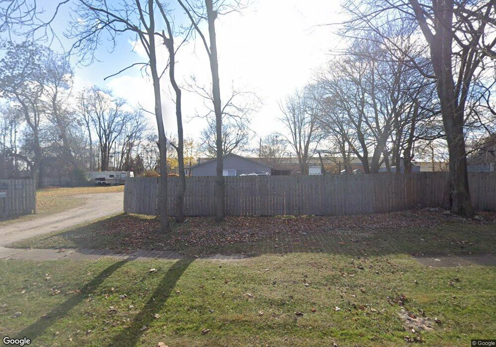
2500 Little St Port Huron, MI 48060
Estimated Value: $59,000 - $151,000
--
Bed
--
Bath
--
Sq Ft
4,704
Sq Ft Lot
About This Home
This home is located at 2500 Little St, Port Huron, MI 48060 and is currently estimated at $105,000. 2500 Little St is a home located in St. Clair County with nearby schools including Cleveland Elementary School, Central Middle School, and Port Huron High School.
Ownership History
Date
Name
Owned For
Owner Type
Purchase Details
Closed on
Jun 30, 2023
Sold by
Curry Joseph G
Bought by
Curry Carmen J
Current Estimated Value
Purchase Details
Closed on
Dec 28, 2009
Sold by
Mowatt Tiffany and Mowatt Terry Lee
Bought by
Curry Joseph
Purchase Details
Closed on
May 8, 2006
Sold by
Mowatt Tiffany
Bought by
Mowatt Tiffany and Mowatt Terry Lee
Home Financials for this Owner
Home Financials are based on the most recent Mortgage that was taken out on this home.
Original Mortgage
$81,000
Interest Rate
6.54%
Mortgage Type
New Conventional
Create a Home Valuation Report for This Property
The Home Valuation Report is an in-depth analysis detailing your home's value as well as a comparison with similar homes in the area
Home Values in the Area
Average Home Value in this Area
Purchase History
| Date | Buyer | Sale Price | Title Company |
|---|---|---|---|
| Curry Carmen J | -- | None Listed On Document | |
| Curry Joseph | $15,000 | Devon Title Agency | |
| Mowatt Tiffany | -- | None Available |
Source: Public Records
Mortgage History
| Date | Status | Borrower | Loan Amount |
|---|---|---|---|
| Previous Owner | Mowatt Tiffany | $81,000 |
Source: Public Records
Tax History Compared to Growth
Tax History
| Year | Tax Paid | Tax Assessment Tax Assessment Total Assessment is a certain percentage of the fair market value that is determined by local assessors to be the total taxable value of land and additions on the property. | Land | Improvement |
|---|---|---|---|---|
| 2025 | $51 | $2,700 | $0 | $0 |
| 2024 | $46 | $2,100 | $0 | $0 |
| 2023 | $44 | $1,600 | $0 | $0 |
| 2022 | $49 | $1,100 | $0 | $0 |
| 2021 | $48 | $1,100 | $0 | $0 |
| 2020 | $49 | $1,100 | $1,100 | $0 |
| 2019 | $49 | $1,100 | $0 | $0 |
| 2018 | $50 | $1,100 | $0 | $0 |
| 2017 | $45 | $1,100 | $0 | $0 |
| 2016 | $39 | $1,100 | $0 | $0 |
| 2015 | $39 | $1,100 | $1,100 | $0 |
| 2014 | $39 | $1,100 | $1,100 | $0 |
| 2013 | -- | $1,100 | $0 | $0 |
Source: Public Records
Map
Nearby Homes
- 2506 Vanness St
- 2511 Vanness St
- 2513 Vanness St
- 2600 Vanness St
- 3230 Ashland Ct
- 2702 Vanness St
- 9999 Cleveland Ave
- 3830 Military St
- 3136 Military St
- 3104 Sturges St
- 0 Dove Rd Unit G31368528
- 000 Gratiot Blvd
- 00 Gratiot Blvd
- 2627 24th St
- 69 Gratiot Blvd
- 3548 Cleveland St
- 105 Gratiot Blvd
- 3333 Ravenswood Rd Unit 4A
- 3333 Ravenswood Rd
- 9999 24th St