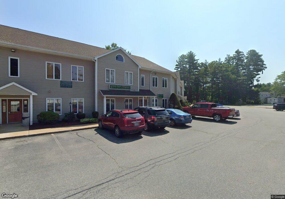
2500 Main St Unit 205 Tewksbury, MA 01876
Estimated Value: $125,991
--
Bed
1
Bath
740
Sq Ft
$170/Sq Ft
Est. Value
About This Home
This home is located at 2500 Main St Unit 205, Tewksbury, MA 01876 and is currently estimated at $125,991, approximately $170 per square foot. 2500 Main St Unit 205 is a home located in Middlesex County with nearby schools including Heath-Brook Elementary School, John W. Wynn Middle School, and John F. Ryan Elementary School.
Ownership History
Date
Name
Owned For
Owner Type
Purchase Details
Closed on
May 15, 2008
Sold by
Krm Rt and Bennett
Bought by
Butler 4Th James R
Current Estimated Value
Purchase Details
Closed on
Jun 30, 1998
Sold by
Stoneham Coop Bank
Bought by
Krm Rt
Home Financials for this Owner
Home Financials are based on the most recent Mortgage that was taken out on this home.
Original Mortgage
$17,600
Interest Rate
7.09%
Mortgage Type
Commercial
Purchase Details
Closed on
Jan 13, 1994
Sold by
Riddle Albert L
Bought by
Bankers T
Purchase Details
Closed on
Mar 2, 1993
Sold by
Riddle Albert L
Bought by
Stoneham Coop Bk
Create a Home Valuation Report for This Property
The Home Valuation Report is an in-depth analysis detailing your home's value as well as a comparison with similar homes in the area
Home Values in the Area
Average Home Value in this Area
Purchase History
| Date | Buyer | Sale Price | Title Company |
|---|---|---|---|
| Butler 4Th James R | $57,500 | -- | |
| Butler 4Th James R | $57,500 | -- | |
| Krm Rt | $22,000 | -- | |
| Krm Rt | $22,000 | -- | |
| Bankers T | $68,700 | -- | |
| Bankers T | $68,700 | -- | |
| Stoneham Coop Bk | $30,000 | -- |
Source: Public Records
Mortgage History
| Date | Status | Borrower | Loan Amount |
|---|---|---|---|
| Previous Owner | Stoneham Coop Bk | $17,600 |
Source: Public Records
Tax History Compared to Growth
Tax History
| Year | Tax Paid | Tax Assessment Tax Assessment Total Assessment is a certain percentage of the fair market value that is determined by local assessors to be the total taxable value of land and additions on the property. | Land | Improvement |
|---|---|---|---|---|
| 2025 | $1,403 | $56,200 | $0 | $56,200 |
| 2024 | $1,186 | $47,000 | $0 | $47,000 |
| 2023 | $1,213 | $45,600 | $0 | $45,600 |
| 2022 | $1,243 | $45,600 | $0 | $45,600 |
| 2021 | $1,187 | $43,000 | $0 | $43,000 |
| 2020 | $1,204 | $43,000 | $0 | $43,000 |
| 2019 | $1,210 | $43,800 | $0 | $43,800 |
| 2018 | $1,201 | $43,300 | $0 | $43,300 |
| 2017 | $1,527 | $54,900 | $0 | $54,900 |
| 2016 | $1,411 | $51,400 | $0 | $51,400 |
| 2015 | $1,420 | $51,400 | $0 | $51,400 |
| 2014 | $1,265 | $47,500 | $0 | $47,500 |
Source: Public Records
Map
Nearby Homes
- 2500 Main St
- 2500 Main St Unit 204
- 2500 Main St Unit 210
- 2500 Main St Unit Multi
- 2500 Main St Unit 209
- 2500 Main St Unit 101
- 2500 Main St Unit 110
- 2500 Main St Unit 208209
- 2500 Main St Unit 211
- 2500 Main St Unit 102
- 2500 Main St Unit 207
- 2500 Main St Unit 208
- 2500 Main St Unit 108
- 2500 Main St Unit 206
- 2500 Main St Unit 111
- 2500 Main St Unit 112
- 2500 Main St Unit 107
- 2500 Main St Unit 203
- 2500 Main St Unit 212
- 2500 Main St