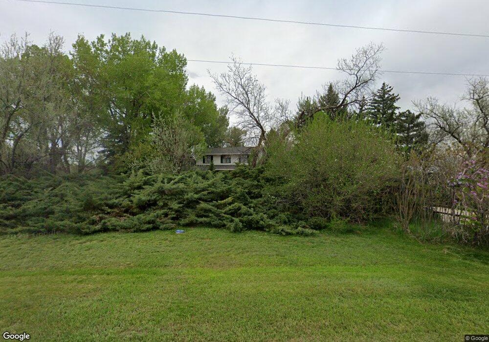
2500 Pheasant Run Berthoud, CO 80513
Estimated Value: $884,167 - $1,056,000
4
Beds
3
Baths
2,408
Sq Ft
$412/Sq Ft
Est. Value
About This Home
This home is located at 2500 Pheasant Run, Berthoud, CO 80513 and is currently estimated at $992,792, approximately $412 per square foot. 2500 Pheasant Run is a home located in Larimer County with nearby schools including Berthoud Elementary School, Turner Middle School, and Berthoud High School.
Ownership History
Date
Name
Owned For
Owner Type
Purchase Details
Closed on
Jul 21, 2005
Sold by
Callies Micheal David and West Heidi Anne
Bought by
Smith Lynn Harrison
Current Estimated Value
Purchase Details
Closed on
Apr 28, 2000
Sold by
Callies Michael D
Bought by
Callies Roberta A
Purchase Details
Closed on
Apr 14, 2000
Sold by
Callies Michael D Roberta A
Bought by
Callies Michael D
Purchase Details
Closed on
Jul 1, 1986
Bought by
Callies Michael D
Create a Home Valuation Report for This Property
The Home Valuation Report is an in-depth analysis detailing your home's value as well as a comparison with similar homes in the area
Home Values in the Area
Average Home Value in this Area
Purchase History
| Date | Buyer | Sale Price | Title Company |
|---|---|---|---|
| Smith Lynn Harrison | $456,000 | -- | |
| Callies Roberta A | -- | -- | |
| Callies Michael D | -- | -- | |
| Callies Michael D | $180,000 | -- |
Source: Public Records
Tax History
| Year | Tax Paid | Tax Assessment Tax Assessment Total Assessment is a certain percentage of the fair market value that is determined by local assessors to be the total taxable value of land and additions on the property. | Land | Improvement |
|---|---|---|---|---|
| 2025 | $4,559 | $57,775 | $24,250 | $33,525 |
| 2024 | $4,434 | $61,553 | $25,996 | $35,557 |
| 2022 | $3,591 | $46,898 | $9,139 | $37,759 |
| 2021 | $3,711 | $48,248 | $9,402 | $38,846 |
| 2020 | $3,180 | $42,135 | $15,301 | $26,834 |
| 2019 | $3,132 | $42,135 | $15,301 | $26,834 |
| 2018 | $2,825 | $37,231 | $11,520 | $25,711 |
| 2017 | $2,477 | $37,231 | $11,520 | $25,711 |
| 2016 | $2,113 | $33,066 | $12,736 | $20,330 |
| 2015 | $2,694 | $33,070 | $12,740 | $20,330 |
| 2014 | $2,225 | $25,990 | $12,740 | $13,250 |
Source: Public Records
Map
Nearby Homes
- 1796 Serene Place
- 1785 Serene Place
- 1720 Chaparro Cir
- 3000 Sundown Dr
- 1901 Callado Ct
- 1332 Sweetwater Ln
- 953 William Way
- 927 William Way
- 0 Rodney Ln Unit 1030974
- 1427 Swan Peter Dr
- 2316 Horseshoe Cir
- 1405 Swan Peter Dr
- 1424 Burt Ave
- 1402 Burt Ave
- 3704 W County Road 4
- 1477 Art Dr
- 1369 Burt Ave
- 1388 Eliza Ave
- 1366 Eliza Ave
- 1346 Burt Ave
- 2494 Pheasant Run
- 2512 Pheasant Run
- 2495 Pheasant Run
- 2488 Pheasant Run
- 2488 Pheasant Run
- 2613 Pheasant Run
- 2489 Pheasant Run
- 2489 Pheasant Run
- 2600 Pheasant Run
- 2612 Pheasant Run
- 2480 Pheasant Run
- 2480 Pheasant Run
- 1105 Burger Dr
- 2701 Pheasant Run
- 2471 Pheasant Run
- 1010 Burger Dr
- 2700 Pheasant Run
- 0 Cottonwood Ln
- 2801 Pheasant Run
- 2609 Martingale Dr
Your Personal Tour Guide
Ask me questions while you tour the home.