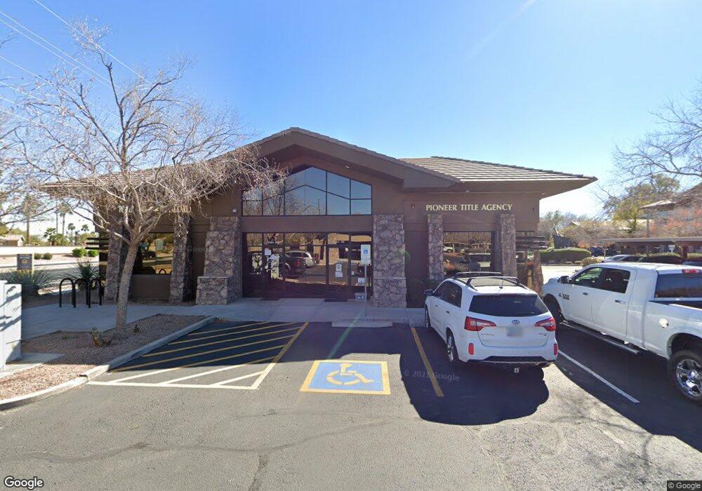
2500 S Power Rd Unit 124 Mesa, AZ 85209
Superstition Springs NeighborhoodEstimated Value: $493,563
--
Bed
--
Bath
1,800
Sq Ft
$274/Sq Ft
Est. Value
About This Home
This home is located at 2500 S Power Rd Unit 124, Mesa, AZ 85209 and is currently estimated at $493,563, approximately $274 per square foot. 2500 S Power Rd Unit 124 is a home located in Maricopa County with nearby schools including Towne Meadows Elementary School, Highland Jr High School, and Highland High School.
Ownership History
Date
Name
Owned For
Owner Type
Purchase Details
Closed on
Jul 22, 2022
Sold by
Cpa Investment Properties Llc
Bought by
Moore Diversified Llc
Current Estimated Value
Home Financials for this Owner
Home Financials are based on the most recent Mortgage that was taken out on this home.
Original Mortgage
$770,000
Outstanding Balance
$735,317
Interest Rate
5.7%
Mortgage Type
New Conventional
Estimated Equity
-$241,754
Purchase Details
Closed on
Jun 15, 2002
Sold by
Fairways Ss Development Lc
Bought by
Cpa Investment Properties Llc
Home Financials for this Owner
Home Financials are based on the most recent Mortgage that was taken out on this home.
Original Mortgage
$330,000
Interest Rate
6.43%
Mortgage Type
Commercial
Create a Home Valuation Report for This Property
The Home Valuation Report is an in-depth analysis detailing your home's value as well as a comparison with similar homes in the area
Home Values in the Area
Average Home Value in this Area
Purchase History
| Date | Buyer | Sale Price | Title Company |
|---|---|---|---|
| Moore Diversified Llc | $550,000 | Lawyers Title | |
| Cpa Investment Properties Llc | $338,400 | Lawyers Title Of Arizona Inc |
Source: Public Records
Mortgage History
| Date | Status | Borrower | Loan Amount |
|---|---|---|---|
| Open | Moore Diversified Llc | $770,000 | |
| Previous Owner | Cpa Investment Properties Llc | $330,000 |
Source: Public Records
Tax History Compared to Growth
Tax History
| Year | Tax Paid | Tax Assessment Tax Assessment Total Assessment is a certain percentage of the fair market value that is determined by local assessors to be the total taxable value of land and additions on the property. | Land | Improvement |
|---|---|---|---|---|
| 2025 | $3,205 | $35,302 | -- | -- |
| 2024 | $3,297 | $34,671 | -- | -- |
| 2023 | $3,297 | $57,341 | $11,458 | $45,883 |
| 2022 | $3,301 | $51,503 | $10,290 | $41,213 |
| 2021 | $3,511 | $50,256 | $10,044 | $40,212 |
| 2020 | $3,459 | $49,824 | $9,954 | $39,870 |
| 2019 | $3,214 | $46,836 | $9,360 | $37,476 |
| 2018 | $3,125 | $41,130 | $8,226 | $32,904 |
| 2017 | $3,023 | $36,270 | $7,254 | $29,016 |
| 2016 | $3,099 | $34,056 | $6,804 | $27,252 |
| 2015 | $2,905 | $32,579 | $6,512 | $26,067 |
Source: Public Records
Map
Nearby Homes
- 1102 N Blackbird Dr
- 4537 E Towne Ln
- 6956 E Milagro Ave
- 4532 E Douglas Ave
- 907 N Falcon Dr
- 699 N Sparrow Ct
- 2414 S Revolta
- 4338 E Douglas Ave
- 4704 E Laurel Ave
- 4786 E Laurel Ct
- 4618 E Laurel Ct
- 7137 E Laguna Azul Ave
- 4337 E Desert Ln
- 4535 E Laurel Ave
- 4219 E San Remo Ave
- 4632 E Harwell St
- 2622 S Athena
- 7149 E Plata Ave
- 2617 S Athena
- 4744 E Olney Ave
- 2500 S Power Rd Unit 221
- 2500 S Power Rd Unit Bldg 2
- 2500 S Power Rd Unit OFC
- 2500 S Power Rd Unit Bldg 9
- 2500 S Power Rd Unit Multipl
- 2500 S Power Rd Unit 109
- 2500 S Power Rd Unit 138
- 2500 S Power Rd Unit 110
- 2500 S Power Rd Unit 127
- 2500 S Power Rd Unit 111
- 2500 S Power Rd Unit 126-3
- 2500 S Power Rd Unit 126-2
- 2500 S Power Rd Unit 217
- 2500 S Power Rd Unit 103
- 2500 S Power Rd Unit 222
- 2500 S Power Rd Unit 106
- 2500 S Power Rd Unit 113
- 2500 S Power Rd Unit 102
- 2500 S Power Rd Unit 126
- 2500 S Power Rd Unit 126-4