2500 W Broad St Unit 609 Athens, GA 30606
Beechwood NeighborhoodEstimated Value: $2,519,498
--
Bed
--
Bath
196
Sq Ft
$12,855/Sq Ft
Est. Value
About This Home
This home is located at 2500 W Broad St Unit 609, Athens, GA 30606 and is currently estimated at $2,519,498, approximately $12,854 per square foot. 2500 W Broad St Unit 609 is a home located in Clarke County with nearby schools including Bettye Henderson Holston Elementary School, Clarke Middle School, and Clarke Central High School.
Ownership History
Date
Name
Owned For
Owner Type
Purchase Details
Closed on
Dec 12, 2019
Sold by
Kajal Enterprise Llc
Bought by
Reuse Partners Llc
Current Estimated Value
Purchase Details
Closed on
Aug 27, 2008
Sold by
Jackson C Jean
Bought by
Kajal Enterprise Llc
Purchase Details
Closed on
Oct 29, 2001
Sold by
Jackson Royce Alfred Estate Of
Bought by
Jackson C Jean
Create a Home Valuation Report for This Property
The Home Valuation Report is an in-depth analysis detailing your home's value as well as a comparison with similar homes in the area
Home Values in the Area
Average Home Value in this Area
Purchase History
| Date | Buyer | Sale Price | Title Company |
|---|---|---|---|
| Reuse Partners Llc | $1,500,000 | -- | |
| Kajal Enterprise Llc | $1,300,000 | -- | |
| Jackson C Jean | -- | -- |
Source: Public Records
Tax History Compared to Growth
Tax History
| Year | Tax Paid | Tax Assessment Tax Assessment Total Assessment is a certain percentage of the fair market value that is determined by local assessors to be the total taxable value of land and additions on the property. | Land | Improvement |
|---|---|---|---|---|
| 2025 | $26,367 | $849,168 | $592,705 | $256,463 |
| 2024 | $26,537 | $849,168 | $592,705 | $256,463 |
| 2023 | $26,536 | $843,663 | $587,200 | $256,463 |
| 2022 | $22,337 | $700,226 | $513,800 | $186,426 |
| 2021 | $20,171 | $598,558 | $440,400 | $158,158 |
| 2020 | $20,164 | $598,332 | $440,400 | $157,932 |
| 2019 | $17,422 | $513,154 | $352,320 | $160,834 |
| 2018 | $17,422 | $513,154 | $352,320 | $160,834 |
| 2017 | $17,422 | $513,154 | $352,320 | $160,834 |
| 2016 | $17,422 | $513,153 | $352,320 | $160,833 |
| 2015 | $18,399 | $541,153 | $352,320 | $188,833 |
| 2014 | $18,426 | $541,154 | $352,320 | $188,834 |
Source: Public Records
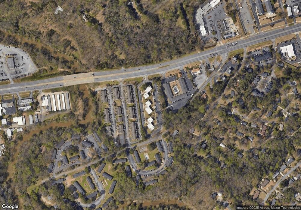
Map
Nearby Homes
- 2505 W Broad St Unit 134
- 2505 W Broad St Unit 138
- 2505 W Broad St Unit 723
- 2505 W Broad St Unit 326
- 2505 W Broad St Unit 222
- 195 Sycamore Dr Unit E33
- 195 Sycamore Dr Unit C24
- 201 Briarcliff Rd
- 170 Dell Ave
- 126 Briarcliff Rd Unit 2
- 134 Tanner Bluff
- 107 Beacham Dr
- 347 Hampton Park Dr
- 107 Tamara Ct
- 607 Creekside Ct
- 330 Stoneland Dr
- 260 Highpointe Ln
- 2500 W Broad St Unit 501A
- 2500 W Broad St Unit 501B
- 2500 W Broad St Unit 501C
- 2500 W Broad St Unit 504
- 2500 W Broad St Unit 605A
- 2500 W Broad St Unit 202
- 2500 W Broad St Unit 212
- 2500 W Broad St Unit 214
- 2500 W Broad St Unit 110
- 2500 W Broad St Unit 101
- 2500 W Broad St Unit 111
- 2500 W Broad St Unit 104
- 2500 W Broad St Unit 103
- 2500 W Broad St Unit 403A
- 2500 W Broad St Unit 116
- 2500 W Broad St Unit 117
- 2500 W Broad St Unit 603
- 2500 W Broad St Unit 602
- 2500 W Broad St Unit 204
- 2500 W Broad St Unit 417