2501 E 122nd St El Reno, OK 73036
Estimated Value: $686,000 - $891,584
3
Beds
4
Baths
4,984
Sq Ft
$158/Sq Ft
Est. Value
About This Home
This home is located at 2501 E 122nd St, El Reno, OK 73036 and is currently estimated at $788,792, approximately $158 per square foot. 2501 E 122nd St is a home with nearby schools including Darlington Public School.
Ownership History
Date
Name
Owned For
Owner Type
Purchase Details
Closed on
Sep 12, 2024
Sold by
Phelps Malcolm V and Phelps Malcom V
Bought by
Phelps Minerals Llc
Current Estimated Value
Purchase Details
Closed on
Jan 1, 2024
Sold by
Ranck William W and Ranck William Watson
Bought by
Ranck William W and Ranck William Watson
Purchase Details
Closed on
Apr 26, 2005
Sold by
Rose Christopher L
Bought by
Schulte Martha Ann
Purchase Details
Closed on
Jun 1, 1994
Sold by
Addison Jerry G and Addison Linda J
Create a Home Valuation Report for This Property
The Home Valuation Report is an in-depth analysis detailing your home's value as well as a comparison with similar homes in the area
Home Values in the Area
Average Home Value in this Area
Purchase History
| Date | Buyer | Sale Price | Title Company |
|---|---|---|---|
| Phelps Minerals Llc | -- | Pinson Land Services, Llc | |
| Phelps Minerals Llc | -- | Pinson Land Services Llc | |
| Phelps Minerals Llc | -- | Pinson Land Services Llc | |
| Phelps Minerals Llc | -- | Pinson Land Services Llc | |
| Ranck William W | -- | None Listed On Document | |
| Ranck William W | -- | None Listed On Document | |
| Schulte Martha Ann | -- | None Available | |
| -- | $240,000 | -- |
Source: Public Records
Tax History Compared to Growth
Tax History
| Year | Tax Paid | Tax Assessment Tax Assessment Total Assessment is a certain percentage of the fair market value that is determined by local assessors to be the total taxable value of land and additions on the property. | Land | Improvement |
|---|---|---|---|---|
| 2024 | $4,152 | $58,813 | $2,767 | $56,046 |
| 2023 | $4,152 | $57,101 | $2,753 | $54,348 |
| 2022 | $4,033 | $55,437 | $2,739 | $52,698 |
| 2021 | $3,917 | $53,823 | $2,716 | $51,107 |
| 2020 | $3,802 | $52,256 | $2,650 | $49,606 |
| 2019 | $3,690 | $50,734 | $2,593 | $48,141 |
| 2018 | $3,586 | $49,256 | $2,541 | $46,715 |
| 2017 | $3,483 | $47,822 | $2,541 | $45,281 |
| 2016 | $3,383 | $47,821 | $2,542 | $45,279 |
| 2015 | -- | $45,077 | $3,475 | $41,602 |
| 2014 | -- | $43,764 | $3,475 | $40,289 |
Source: Public Records
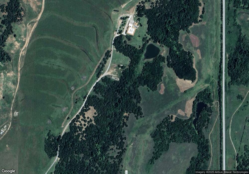
Map
Nearby Homes
- 0 E Jones Rd
- 0 Hwy 81 & Jones Rd
- 8248 Bluestem Trail
- 8229 Bluestem Trail
- Olympia Plan at Manning Farms
- Trenton Plan at Manning Farms
- Richmond Plan at Manning Farms
- Phoenix Plan at Manning Farms
- Lincoln Plan at Manning Farms
- Hartford Plan at Manning Farms
- Bismarck Plan at Manning Farms
- 8218 Bluestem Trail
- 2520 N Manning Rd
- 0 Hefner Rd NE
- 0004 NW 122nd St
- 11230 N Banner Rd
- 2108 E Rogers St
- 11010 N Banner Rd
- 221 N L Ave
- 228 N Donald Ave