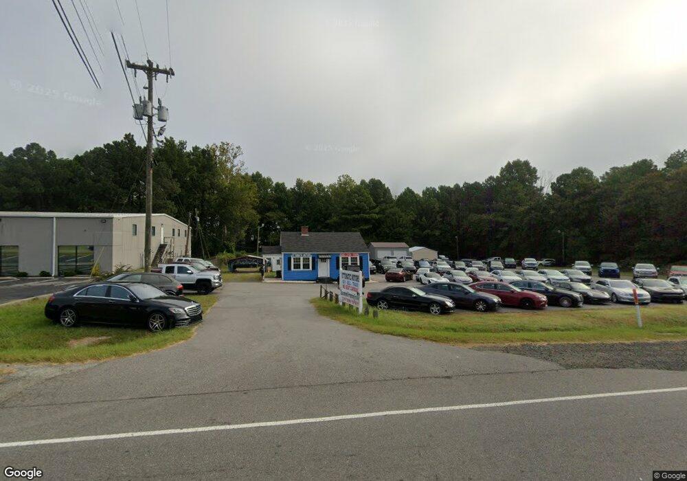
2501 E Us 70 Hwy Durham, NC 27703
Eastern Durham NeighborhoodEstimated Value: $571,606
2
Beds
1
Bath
784
Sq Ft
$729/Sq Ft
Est. Value
About This Home
This home is located at 2501 E Us 70 Hwy, Durham, NC 27703 and is currently estimated at $571,606, approximately $729 per square foot. 2501 E Us 70 Hwy is a home located in Durham County with nearby schools including Spring Valley Elementary School, John W Neal Middle School, and Southern School of Energy & Sustainability.
Ownership History
Date
Name
Owned For
Owner Type
Purchase Details
Closed on
Sep 14, 2016
Sold by
Lascola Charles
Bought by
Hanna Tass Ventures Inc
Current Estimated Value
Home Financials for this Owner
Home Financials are based on the most recent Mortgage that was taken out on this home.
Original Mortgage
$225,000
Interest Rate
3.43%
Mortgage Type
Commercial
Create a Home Valuation Report for This Property
The Home Valuation Report is an in-depth analysis detailing your home's value as well as a comparison with similar homes in the area
Home Values in the Area
Average Home Value in this Area
Purchase History
| Date | Buyer | Sale Price | Title Company |
|---|---|---|---|
| Hanna Tass Ventures Inc | $275,000 | -- |
Source: Public Records
Mortgage History
| Date | Status | Borrower | Loan Amount |
|---|---|---|---|
| Closed | Hanna Tass Ventures Inc | $225,000 |
Source: Public Records
Tax History Compared to Growth
Tax History
| Year | Tax Paid | Tax Assessment Tax Assessment Total Assessment is a certain percentage of the fair market value that is determined by local assessors to be the total taxable value of land and additions on the property. | Land | Improvement |
|---|---|---|---|---|
| 2025 | $4,155 | $621,983 | $581,500 | $40,483 |
| 2024 | $2,743 | $278,201 | $244,100 | $34,101 |
| 2023 | $2,624 | $278,201 | $244,100 | $34,101 |
| 2022 | $2,536 | $278,201 | $244,100 | $34,101 |
| 2021 | $2,440 | $278,201 | $244,100 | $34,101 |
| 2020 | $2,384 | $278,201 | $244,100 | $34,101 |
| 2019 | $2,357 | $278,201 | $244,100 | $34,101 |
| 2018 | $2,257 | $244,546 | $229,950 | $14,596 |
| 2017 | $2,184 | $244,546 | $229,950 | $14,596 |
| 2016 | $2,117 | $244,546 | $229,950 | $14,596 |
| 2015 | $2,039 | $220,840 | $218,190 | $2,650 |
| 2014 | $2,050 | $220,840 | $218,190 | $2,650 |
Source: Public Records
Map
Nearby Homes
- 4613 Angier Ave
- 1911 Hinesley Dr
- 1819 Hinesley Dr
- 1903 Hinesley Rd
- 1913 Hinesley Rd
- 1911 Hinesley Rd
- 1827 Hinesley Rd
- 1819 Hinesley Rd
- 4539 Cottendale Dr
- 1931 Hinesley Dr
- 1929 Hinesley Dr
- 1941 Hinesley Dr
- 1937 Hinesley Dr
- 1933 Hinesley Dr
- 1939 Hinesley Dr
- 1927 Hinesley Dr
- 1935 Hinesley Dr
- 1946 Hinesley Dr
- 1930 Hinesley Dr
- 2517 E Us 70 Hwy
- 2324 E Us 70 Hwy
- 4649 Angier Ave
- 4647 Angier Ave
- 2320 E Us 70 Hwy
- 4645 Angier Ave
- 4639 Angier Ave
- 4637 Angier Ave
- 4629 Angier Ave
- 4701 Angier Ave
- 4631 Angier Ave
- 4713 Angier Ave
- 4640 Angier Ave
- 4625 Angier Ave
- 4636 Angier Ave
- 4648 Leesville Rd
- 4717 Angier Ave
- 4723 Angier Ave
- 4621 Angier Ave
- 4630 Angier Ave