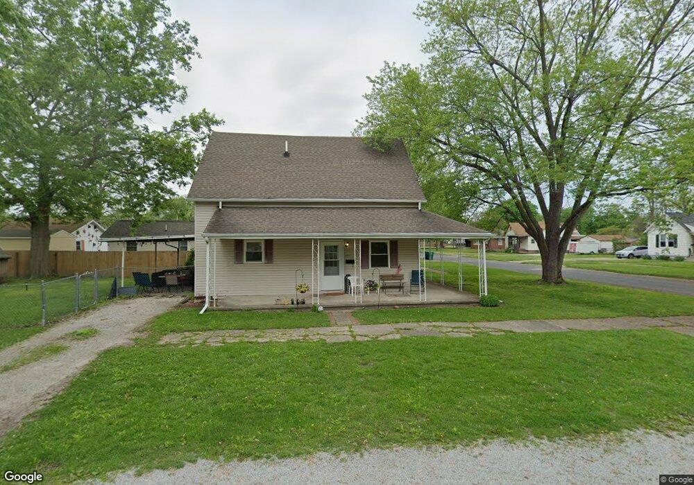
2501 Moultrie Ave Mattoon, IL 61938
Estimated Value: $125,000 - $146,000
3
Beds
2
Baths
1,420
Sq Ft
$95/Sq Ft
Est. Value
About This Home
This home is located at 2501 Moultrie Ave, Mattoon, IL 61938 and is currently estimated at $134,437, approximately $94 per square foot. 2501 Moultrie Ave is a home located in Coles County with nearby schools including Mattoon High School, St Mary School, and St. John's Lutheran School.
Ownership History
Date
Name
Owned For
Owner Type
Purchase Details
Closed on
May 27, 2005
Sold by
Ingram Gary L and Ingram Timothy L
Bought by
Rieck Teresa A
Current Estimated Value
Home Financials for this Owner
Home Financials are based on the most recent Mortgage that was taken out on this home.
Original Mortgage
$40,000
Outstanding Balance
$21,084
Interest Rate
5.91%
Mortgage Type
New Conventional
Estimated Equity
$113,353
Create a Home Valuation Report for This Property
The Home Valuation Report is an in-depth analysis detailing your home's value as well as a comparison with similar homes in the area
Home Values in the Area
Average Home Value in this Area
Purchase History
| Date | Buyer | Sale Price | Title Company |
|---|---|---|---|
| Rieck Teresa A | $74,000 | None Available |
Source: Public Records
Mortgage History
| Date | Status | Borrower | Loan Amount |
|---|---|---|---|
| Open | Rieck Teresa A | $40,000 |
Source: Public Records
Tax History
| Year | Tax Paid | Tax Assessment Tax Assessment Total Assessment is a certain percentage of the fair market value that is determined by local assessors to be the total taxable value of land and additions on the property. | Land | Improvement |
|---|---|---|---|---|
| 2024 | $1,708 | $35,412 | $4,641 | $30,771 |
| 2023 | $1,776 | $31,618 | $4,144 | $27,474 |
| 2022 | $2,194 | $31,096 | $4,076 | $27,020 |
| 2021 | $2,179 | $28,563 | $3,744 | $24,819 |
| 2020 | $2,150 | $29,594 | $3,879 | $25,715 |
| 2019 | $2,098 | $28,563 | $3,744 | $24,819 |
| 2018 | $2,060 | $28,563 | $3,744 | $24,819 |
| 2017 | $2,054 | $28,563 | $3,744 | $24,819 |
| 2016 | $2,010 | $28,563 | $3,744 | $24,819 |
| 2015 | $1,986 | $28,563 | $3,744 | $24,819 |
| 2014 | $1,986 | $28,563 | $3,744 | $24,819 |
| 2013 | $1,986 | $28,563 | $3,744 | $24,819 |
Source: Public Records
Map
Nearby Homes
- 2413 Moultrie Ave
- 2317 Shelby Ave
- 713 N 23rd St
- 2800 Shelby Ave
- 2720 Champaign Ave
- 2617 Richmond Ave
- 2305 Richmond Ave
- 109 N 26th St
- 113 S 25th St
- 1905 Dewitt Ave
- 2502 Pine Ave
- 3020 Champaign Ave
- 2505 Pine Ave
- 2800 Pine Ave
- 1800 Piatt Ave
- 2221 Charleston Ave
- 1104 N 32nd St
- 1117 N 32nd St
- 3216 Western Ave
- 1612 Richmond Ave
- 2505 Moultrie Ave
- 2500 Moultrie Ave
- 2509 Moultrie Ave
- 2421 Moultrie Ave
- 2513 Moultrie Ave
- 2417 Moultrie Ave
- 2504 Moultrie Ave
- 2420 Moultrie Ave
- 2512 Moultrie Ave
- 2517 Moultrie Ave
- 2416 Moultrie Ave
- 2508 Shelby Ave
- 2420 Shelby Ave
- 2412 Moultrie Ave
- 2521 Moultrie Ave
- 2409 Moultrie Ave
- 2512 Shelby Ave
- 2520 Moultrie Ave
- 2416 Shelby Ave
- 2500 Shelby Ave
Your Personal Tour Guide
Ask me questions while you tour the home.