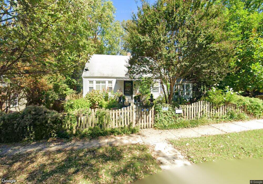
2501 Newton St Silver Spring, MD 20902
Estimated Value: $428,000 - $486,000
Studio
2
Baths
1,080
Sq Ft
$422/Sq Ft
Est. Value
About This Home
This home is located at 2501 Newton St, Silver Spring, MD 20902 and is currently estimated at $456,181, approximately $422 per square foot. 2501 Newton St is a home located in Montgomery County with nearby schools including Arcola Elementary School, Odessa Shannon Middle School, and Northwood High School.
Ownership History
Date
Name
Owned For
Owner Type
Purchase Details
Closed on
Jul 1, 2021
Sold by
Swanson Diane Milke and Milke Diane
Bought by
Swanson Diane Milke
Current Estimated Value
Home Financials for this Owner
Home Financials are based on the most recent Mortgage that was taken out on this home.
Original Mortgage
$341,880
Outstanding Balance
$310,910
Interest Rate
3.05%
Mortgage Type
FHA
Estimated Equity
$145,271
Purchase Details
Closed on
Aug 19, 2003
Sold by
Reidy Michael D
Bought by
Milke Diane
Create a Home Valuation Report for This Property
The Home Valuation Report is an in-depth analysis detailing your home's value as well as a comparison with similar homes in the area
Home Values in the Area
Average Home Value in this Area
Purchase History
| Date | Buyer | Sale Price | Title Company |
|---|---|---|---|
| Swanson Diane Milke | -- | Accommodation | |
| Milke Diane | $272,500 | -- |
Source: Public Records
Mortgage History
| Date | Status | Borrower | Loan Amount |
|---|---|---|---|
| Open | Swanson Diane Milke | $341,880 |
Source: Public Records
Tax History
| Year | Tax Paid | Tax Assessment Tax Assessment Total Assessment is a certain percentage of the fair market value that is determined by local assessors to be the total taxable value of land and additions on the property. | Land | Improvement |
|---|---|---|---|---|
| 2025 | $4,832 | $377,400 | $183,400 | $194,000 |
| 2024 | $4,832 | $362,133 | -- | -- |
| 2023 | $3,945 | $346,867 | $0 | $0 |
| 2022 | $3,561 | $331,600 | $183,400 | $148,200 |
| 2021 | $3,398 | $324,167 | $0 | $0 |
| 2020 | $3,284 | $316,733 | $0 | $0 |
| 2019 | $3,169 | $309,300 | $168,400 | $140,900 |
| 2018 | $3,024 | $298,433 | $0 | $0 |
| 2017 | $2,895 | $287,567 | $0 | $0 |
| 2016 | -- | $276,700 | $0 | $0 |
| 2015 | $2,544 | $271,400 | $0 | $0 |
| 2014 | $2,544 | $266,100 | $0 | $0 |
Source: Public Records
Map
Nearby Homes
- 2510 Weisman Rd
- 2715 Randolph Rd
- 12124 Livingston St
- 2310 Greenery Ln
- 2301 Greenery Ln Unit 103
- 2202 Greenery Ln Unit 301
- 2200 Greenery Ln Unit 101
- 2305 Greenery Ln Unit 1023
- 169 Kandinsky Loop
- 11902 Bernard Dr
- 153 Kandinsky Loop
- 2511 Auden Dr
- 2373 Wyeth St
- 135 Klee Aly
- 3007 Medway St
- 3027 Medway St
- 12633 English Orchard Ct
- 2207 Leesborough Dr
- 11612 Leesborough Cir
- 2228 Highfly Terrace
- 2503 Newton St
- 12302 Grandview Ave
- 12303 Judson Rd
- 12304 Grandview Ave
- 2505 Newton St
- 12210 Grandview Ave
- 12305 Judson Rd
- 2502 Newton St
- 2504 Newton St
- 12307 Judson Rd
- 12306 Grandview Ave
- 2506 Newton St
- 12223 Judson Rd
- 12208 Grandview Ave
- 2503 Mason St
- 2505 Mason St
- 12221 Judson Rd
- 2500 Randolph Rd
- 12210 Georgia Ave
- 2507 Mason St
Your Personal Tour Guide
Ask me questions while you tour the home.