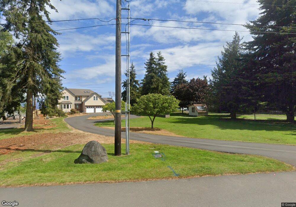
2501 W 10th St Port Angeles, WA 98363
Estimated Value: $677,388 - $781,000
2
Beds
2
Baths
2,305
Sq Ft
$322/Sq Ft
Est. Value
About This Home
This home is located at 2501 W 10th St, Port Angeles, WA 98363 and is currently estimated at $743,129, approximately $322 per square foot. 2501 W 10th St is a home located in Clallam County with nearby schools including Hamilton Elementary School, Stevens Middle School, and Port Angeles High School.
Ownership History
Date
Name
Owned For
Owner Type
Purchase Details
Closed on
Oct 15, 2021
Sold by
Scott Younkin Glen Carlisle
Bought by
Hebrank Gail L
Current Estimated Value
Create a Home Valuation Report for This Property
The Home Valuation Report is an in-depth analysis detailing your home's value as well as a comparison with similar homes in the area
Home Values in the Area
Average Home Value in this Area
Purchase History
| Date | Buyer | Sale Price | Title Company |
|---|---|---|---|
| Hebrank Gail L | -- | -- |
Source: Public Records
Tax History Compared to Growth
Tax History
| Year | Tax Paid | Tax Assessment Tax Assessment Total Assessment is a certain percentage of the fair market value that is determined by local assessors to be the total taxable value of land and additions on the property. | Land | Improvement |
|---|---|---|---|---|
| 2021 | $6,491 | $537,490 | $200,000 | $337,490 |
| 2020 | $4,496 | $450,197 | $143,622 | $306,575 |
| 2018 | $383 | $383,306 | $143,622 | $239,684 |
| 2017 | $4,025 | $312,891 | $143,622 | $169,269 |
| 2016 | $4,025 | $315,676 | $143,622 | $172,054 |
| 2015 | $4,025 | $302,350 | $143,622 | $158,728 |
| 2013 | $4,025 | $302,608 | $143,622 | $158,986 |
| 2012 | $4,025 | $354,150 | $169,554 | $184,596 |
Source: Public Records
Map
Nearby Homes
- 1020 Walker St
- 2439 W 12th St
- 818 Madeline St
- 1006 Cathleen St
- 2340 Samara Place
- 1327 Marie View St
- 1413 Discovery Loop
- 2140 W 6th St
- 2131 W 7th St
- 2131 W 7th St Unit 2131 W. Seventh St.
- 999 Aurora Ct
- 1920 W 10th St
- 1928 W 10th St
- 1912 W 10th St
- 1936 W 10th St
- 1901 W Hamilton Way
- 2005 W 16th St
- 9999 W Fourth St
- 1812 W 12th St
- 1802 W 11th St
- 924 Milwaukee Dr
- 2511 W 10th St
- 2519 W 10th St
- 914 Milwaukee Dr
- 2525 W 10th St
- 906 Milwaukee Dr
- 2530 Flores St
- Lot 25 Milwaukee Heights
- Lot 7 S Milwaukee Dr
- 0 Milwaukee Dr Unit 28142423
- 0 Milwaukee Dr Unit 1473591
- 2536 W 10th St
- 2535 W 10th St
- 840 Milwaukee Dr
- 2506 W 10th St
- 1013 Flores St
- 907 Milwaukee Dr
- 830 Milwaukee Dr
- 903 Milwaukee Dr
- 1002 O St Unit 2508 W. 10th Street