25016 S 490 Rd Tahlequah, OK 74464
Estimated Value: $219,950 - $280,000
3
Beds
3
Baths
1,615
Sq Ft
$160/Sq Ft
Est. Value
About This Home
This home is located at 25016 S 490 Rd, Tahlequah, OK 74464 and is currently estimated at $258,983, approximately $160 per square foot. 25016 S 490 Rd is a home located in Cherokee County with nearby schools including Cherokee Immersion Charter School.
Ownership History
Date
Name
Owned For
Owner Type
Purchase Details
Closed on
Nov 12, 2004
Sold by
Victoria Bangle Admin
Bought by
Mike and Debbie Cornsilk
Current Estimated Value
Purchase Details
Closed on
Nov 9, 2004
Sold by
Est Of Norman Bangle Sr
Bought by
Mike and Debbie Cornsilk
Purchase Details
Closed on
Aug 29, 2003
Sold by
Victoria Bangle
Bought by
Norman Bangle
Purchase Details
Closed on
Aug 31, 1995
Sold by
Joe and Kathryn Litsey
Bought by
Norman and Victoria Bangle
Purchase Details
Closed on
Apr 14, 1995
Sold by
Dale A and Toni Lobaugh
Bought by
Joe and Kathryn Litsey
Create a Home Valuation Report for This Property
The Home Valuation Report is an in-depth analysis detailing your home's value as well as a comparison with similar homes in the area
Home Values in the Area
Average Home Value in this Area
Purchase History
| Date | Buyer | Sale Price | Title Company |
|---|---|---|---|
| Mike | $99,000 | -- | |
| Mike | -- | -- | |
| Norman Bangle | -- | -- | |
| Norman | $66,000 | -- | |
| Joe | $54,000 | -- |
Source: Public Records
Tax History Compared to Growth
Tax History
| Year | Tax Paid | Tax Assessment Tax Assessment Total Assessment is a certain percentage of the fair market value that is determined by local assessors to be the total taxable value of land and additions on the property. | Land | Improvement |
|---|---|---|---|---|
| 2025 | $1,084 | $13,961 | $1,266 | $12,695 |
| 2024 | $1,084 | $13,554 | $1,229 | $12,325 |
| 2023 | $1,084 | $13,160 | $1,189 | $11,971 |
| 2022 | $932 | $12,777 | $1,150 | $11,627 |
| 2021 | $908 | $12,404 | $1,111 | $11,293 |
| 2020 | $897 | $12,043 | $1,074 | $10,969 |
| 2019 | $857 | $11,692 | $1,043 | $10,649 |
| 2018 | $826 | $11,352 | $1,013 | $10,339 |
| 2017 | $801 | $11,021 | $983 | $10,038 |
| 2016 | $774 | $10,700 | $1,390 | $9,310 |
| 2015 | $712 | $10,389 | $1,320 | $9,069 |
| 2014 | $712 | $10,086 | $1,320 | $8,766 |
Source: Public Records
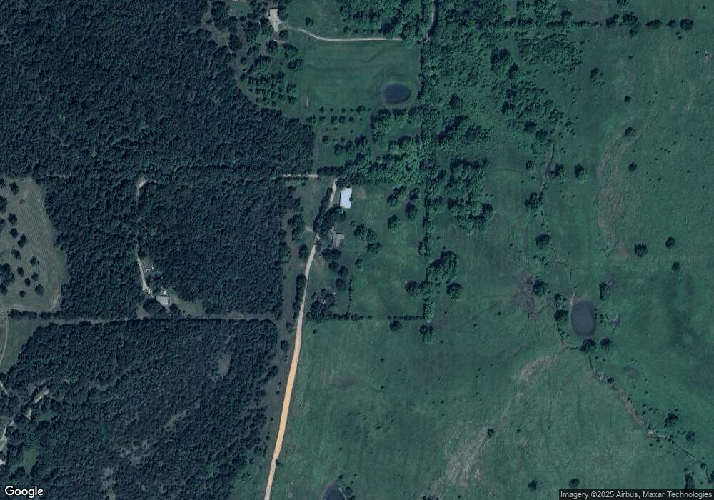
Map
Nearby Homes
- 16920 W 828 Rd
- 16981 W 828 Rd
- 0 S Qualls Rd Unit 2543872
- 14650 W 835 Rd
- 2 S 490 Rd
- 0 S 490 Rd
- 17611 W Stone Chapel Rd
- 16289 W 810 Rd
- 27254 S 490 Rd
- 0 S 500 Rd Unit 2526574
- 0 S 500 Rd Unit 2526465
- 22781 S 490 Rd
- 13670 W 834 Rd
- 25130 S 519 Rd
- 0 Hwy 62 Hwy Unit 2532149
- 0 Hwy 62 Hwy Unit 2532139
- 0 Hwy 62 Hwy Unit 2532141
- 0 Hwy 62 Hwy Unit 2532145
- 12910 W Southern Oaks St
- 0 W 810 Rd Unit 2506686