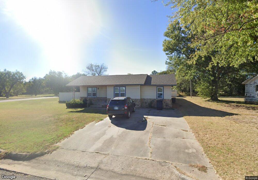
2502 N Leo Ave Shawnee, OK 74804
Estimated Value: $123,000 - $185,000
--
Bed
--
Bath
1,485
Sq Ft
$113/Sq Ft
Est. Value
About This Home
This home is located at 2502 N Leo Ave, Shawnee, OK 74804 and is currently estimated at $168,005, approximately $113 per square foot. 2502 N Leo Ave is a home located in Pottawatomie County with nearby schools including Will Rogers Elementary School, Shawnee Middle School, and Shawnee High School.
Ownership History
Date
Name
Owned For
Owner Type
Purchase Details
Closed on
Jun 4, 2004
Sold by
Carter Carter T and Carter Julia
Bought by
Wallach Joseph and Wallach Laquita
Current Estimated Value
Purchase Details
Closed on
Oct 4, 1995
Sold by
James Paul and James Debora
Bought by
Daman Carter T and Daman Daman
Purchase Details
Closed on
Aug 7, 1995
Sold by
Johnson Billy and Johnson Edith
Bought by
James Paul and James Debora
Create a Home Valuation Report for This Property
The Home Valuation Report is an in-depth analysis detailing your home's value as well as a comparison with similar homes in the area
Home Values in the Area
Average Home Value in this Area
Purchase History
| Date | Buyer | Sale Price | Title Company |
|---|---|---|---|
| Wallach Joseph | $81,000 | -- | |
| Daman Carter T | $42,500 | -- | |
| James Paul | -- | -- |
Source: Public Records
Tax History Compared to Growth
Tax History
| Year | Tax Paid | Tax Assessment Tax Assessment Total Assessment is a certain percentage of the fair market value that is determined by local assessors to be the total taxable value of land and additions on the property. | Land | Improvement |
|---|---|---|---|---|
| 2024 | $985 | $10,431 | $1,020 | $9,411 |
| 2023 | $985 | $10,431 | $1,020 | $9,411 |
| 2022 | $968 | $10,431 | $1,020 | $9,411 |
| 2021 | $950 | $10,431 | $1,020 | $9,411 |
| 2020 | $969 | $10,590 | $1,020 | $9,570 |
| 2019 | $1,042 | $10,977 | $1,020 | $9,957 |
| 2018 | $1,034 | $11,107 | $1,020 | $10,087 |
| 2017 | $1,045 | $11,360 | $1,020 | $10,340 |
| 2016 | $1,143 | $12,201 | $852 | $11,349 |
| 2015 | $1,085 | $11,845 | $762 | $11,083 |
| 2014 | $1,050 | $11,501 | $750 | $10,751 |
Source: Public Records
Map
Nearby Homes
- 2418 Ellis Dr
- 1821 W Wiley St
- 2227 Whispering Pine Blvd
- 1902 Oak Tree Ct
- 1933 Rain Tree Dr
- 1914 Oak Tree Ct
- 1828 W Federal St
- 1900 Timber Dale Dr
- 37614 W Macarthur St
- 2106 N Aydelotte Ave
- 29 Timber Creek Way
- 7 N Tawana Dr
- 13 Robby Rd
- 216 W Georgia St
- 1000 W 45th St
- 4103 Pine Ridge Rd
- 202 W Franklin St
- 1925 N Park Ave
- 3 Rock Hollow Rd
- 1834 N Market Ave
- 1726 W University St
- 2504 N Leo Ave
- 1734 W University St
- 1724 W University St
- 1737 W University St
- 1739 W University St
- 2508 N Leo Ave
- 1733 W University St
- 2512 N Leo Ave
- 1723 W Wiley St
- 1735 W University St
- 1725 W Wiley St
- 1729 W Wiley St
- 2306 N Leo Ave
- 1727 W Wiley St
- 2302 N Leo Ave
- 1730 W University St
- 1712 W Wiley St
- 1726 W Midland St
- 1738 W University St